
MyTopo
Spanish Flat Nevada US Topo Map
Couldn't load pickup availability
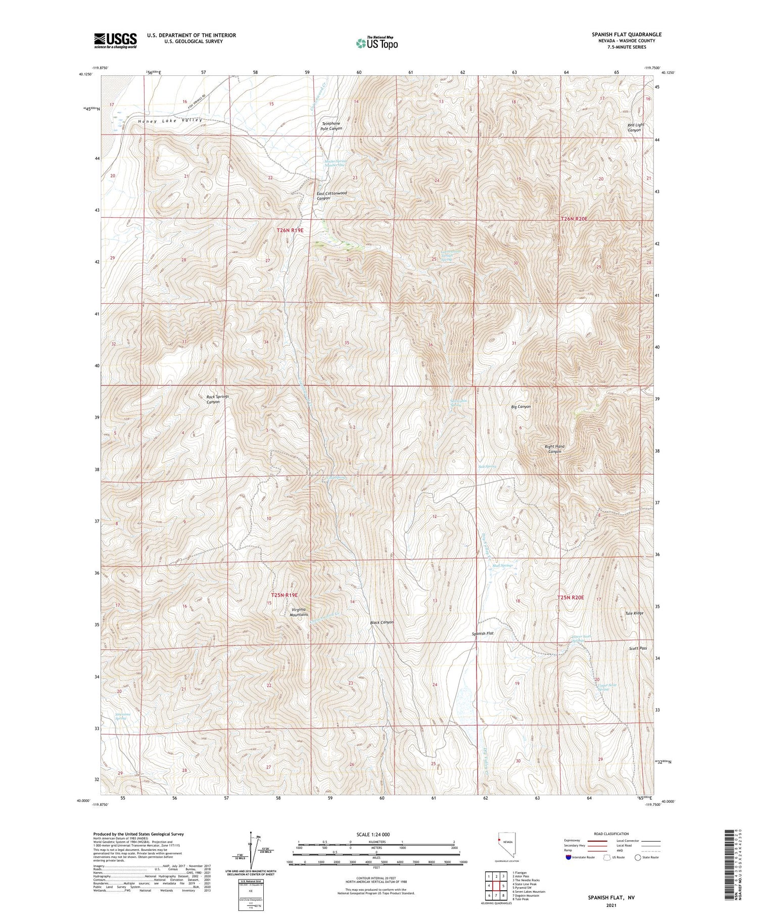
2021 topographic map quadrangle Spanish Flat in the state of Nevada. Scale: 1:24000. Based on the newly updated USGS 7.5' US Topo map series, this map is in the following counties: Washoe. The map contains contour data, water features, and other items you are used to seeing on USGS maps, but also has updated roads and other features. This is the next generation of topographic maps. Printed on high-quality waterproof paper with UV fade-resistant inks.
Quads adjacent to this one:
West: State Line Peak
Northwest: Flanigan
North: Astor Pass
Northeast: The Needle Rocks
East: Pyramid SW
Southeast: Tule Peak
South: Dogskin Mountain
Southwest: Seven Lakes Mountain
Contains the following named places: Cold Spring, East Cottonwood Canyon, Government Trough Spring, Lower Scott Springs, Mocho Spring Number One, Mud Spring, Newcome Spring, Picket Corral, Red Light Canyon, Right Hand Canyon, Salt Cabin Spring, Salt Spring, Scott Pass, Spanish Flat, Spanish Flat Dam, Spanish Flat Reservoir, Telephone Pole Canyon, Upper Scott Spring, Virginia Mountains


