MyTopo
Three Bar Ranch Nevada US Topo Map
Couldn't load pickup availability
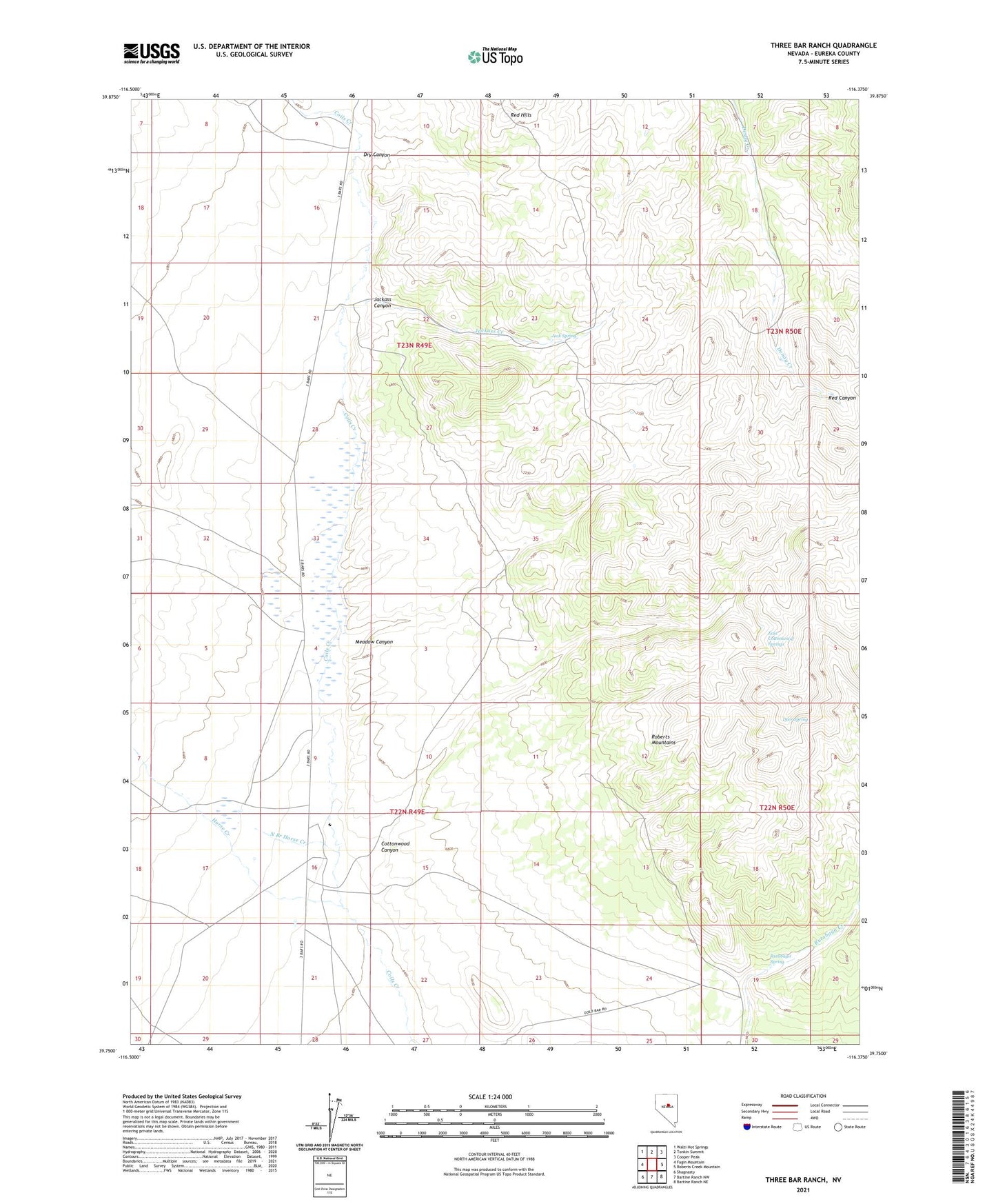
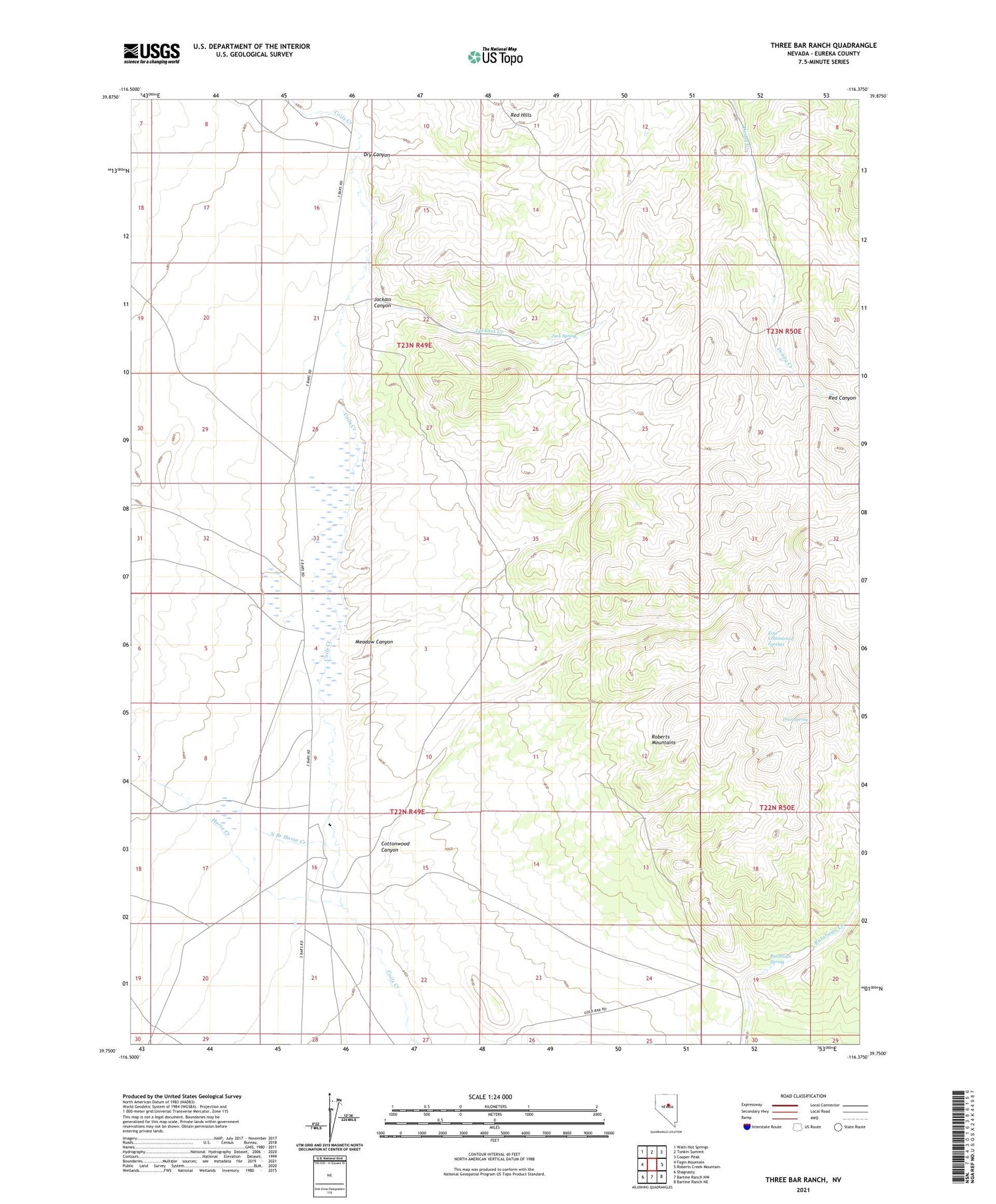
2021 topographic map quadrangle Three Bar Ranch in the state of Nevada. Scale: 1:24000. Based on the newly updated USGS 7.5' US Topo map series, this map is in the following counties: Eureka. The map contains contour data, water features, and other items you are used to seeing on USGS maps, but also has updated roads and other features. This is the next generation of topographic maps. Printed on high-quality waterproof paper with UV fade-resistant inks.
Quads adjacent to this one:
West: Fagin Mountain
Northwest: Walti Hot Springs
North: Tonkin Summit
Northeast: Cooper Peak
East: Roberts Creek Mountain
Southeast: Bartine Ranch NE
South: Bartine Ranch NW
Southwest: Shagnasty
Contains the following named places: Bar Post Office, Cottonwood Canyon, Deer Spring, Dry Canyon, East Cottonwood Springs, Horse Creek, Jack Spring, Jackass Canyon, Jackass Creek, Meadow Canyon, North Branch Horse Creek, Red Hills, Rutabaga Spring, Three Bar, Three Bar Ranch