MyTopo
Tule Peak Nevada US Topo Map
Couldn't load pickup availability
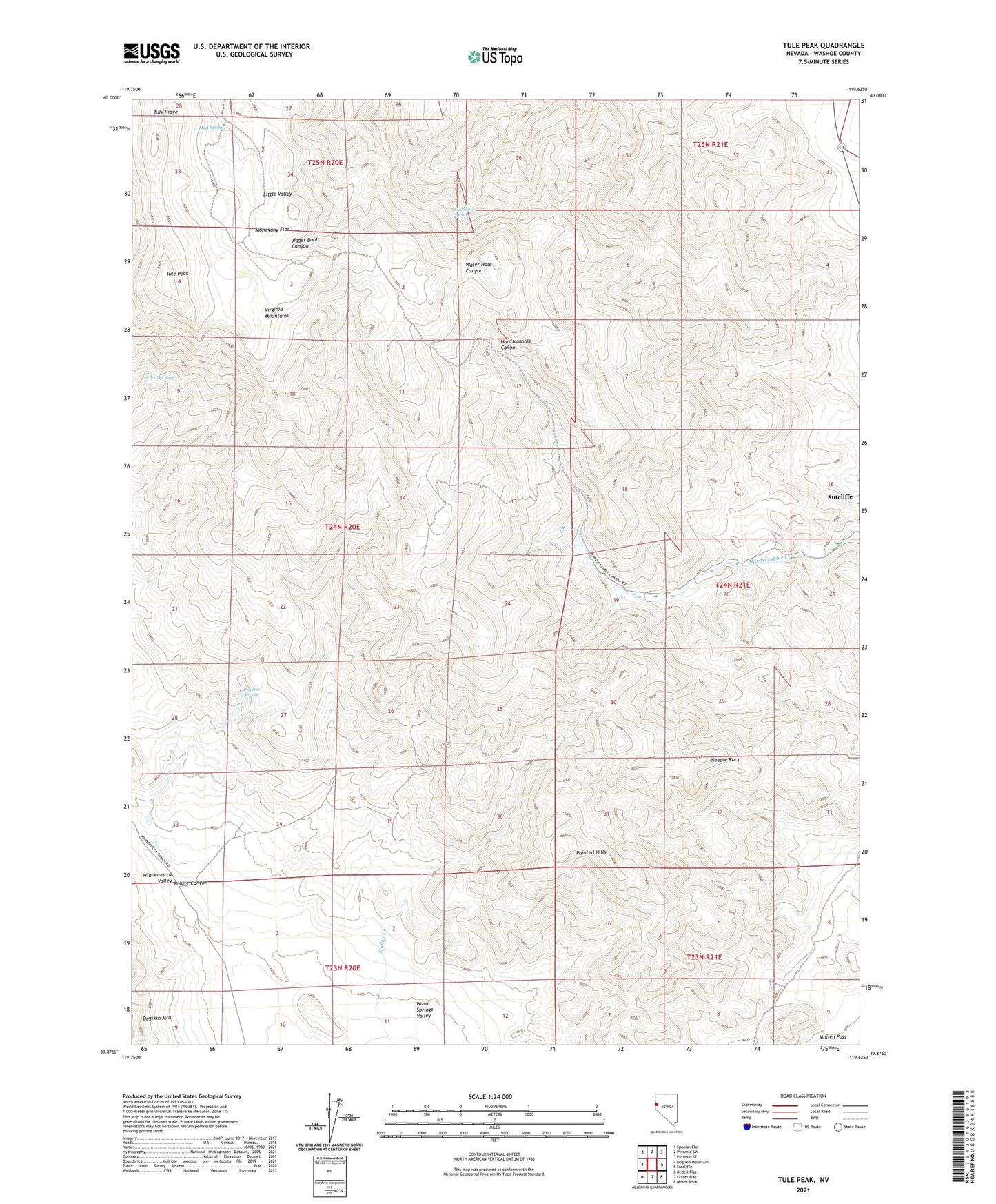
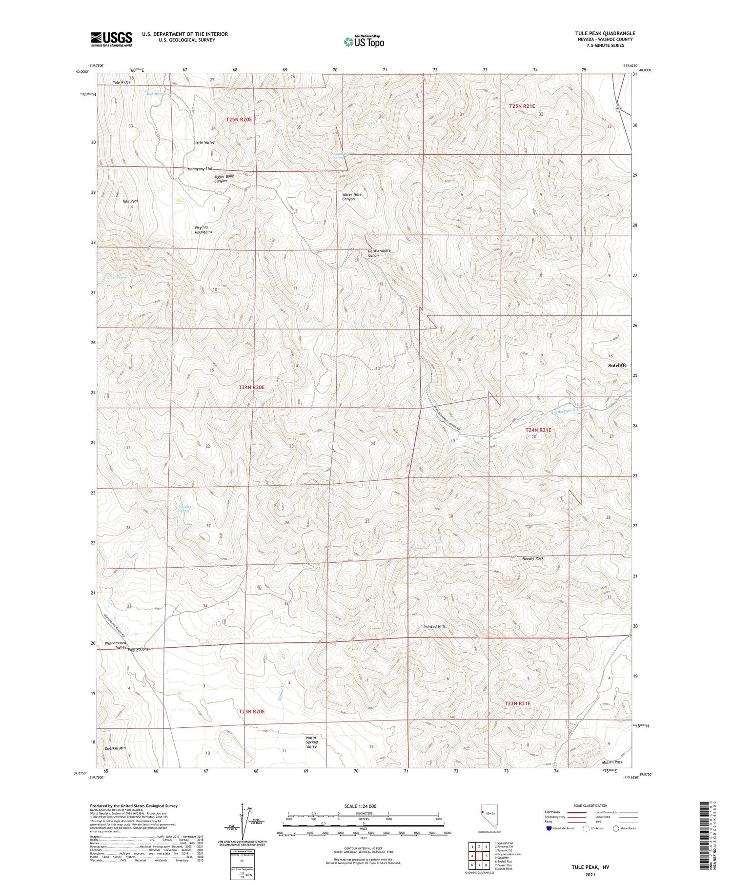
2021 topographic map quadrangle Tule Peak in the state of Nevada. Scale: 1:24000. Based on the newly updated USGS 7.5' US Topo map series, this map is in the following counties: Washoe. The map contains contour data, water features, and other items you are used to seeing on USGS maps, but also has updated roads and other features. This is the next generation of topographic maps. Printed on high-quality waterproof paper with UV fade-resistant inks.
Quads adjacent to this one:
West: Dogskin Mountain
Northwest: Spanish Flat
North: Pyramid SW
Northeast: Pyramid SE
East: Sutcliffe
Southeast: Moses Rock
South: Fraser Flat
Southwest: Bedell Flat
Contains the following named places: Cove Springs, Delongchamps Mine, Kinnikinic Spring, Lowary Mine, Mahogany Flat, Mud Spring, Needle Rock, Painted Hills, Paiute Canyon, Pradere Spring, Sutcliffe Census Designated Place, Tule Peak, Tule Ridge, Winnemucca Valley