MyTopo
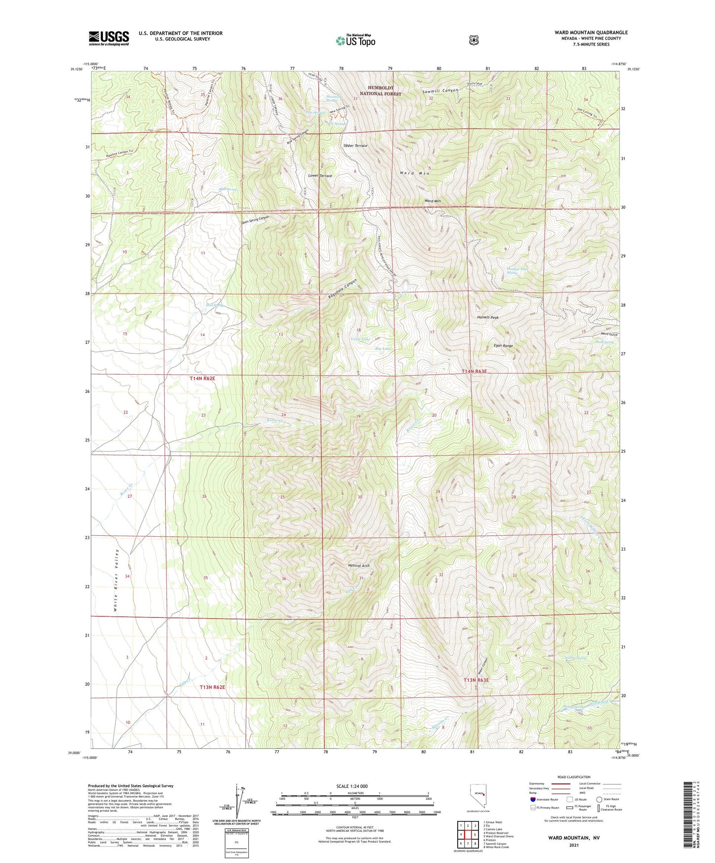
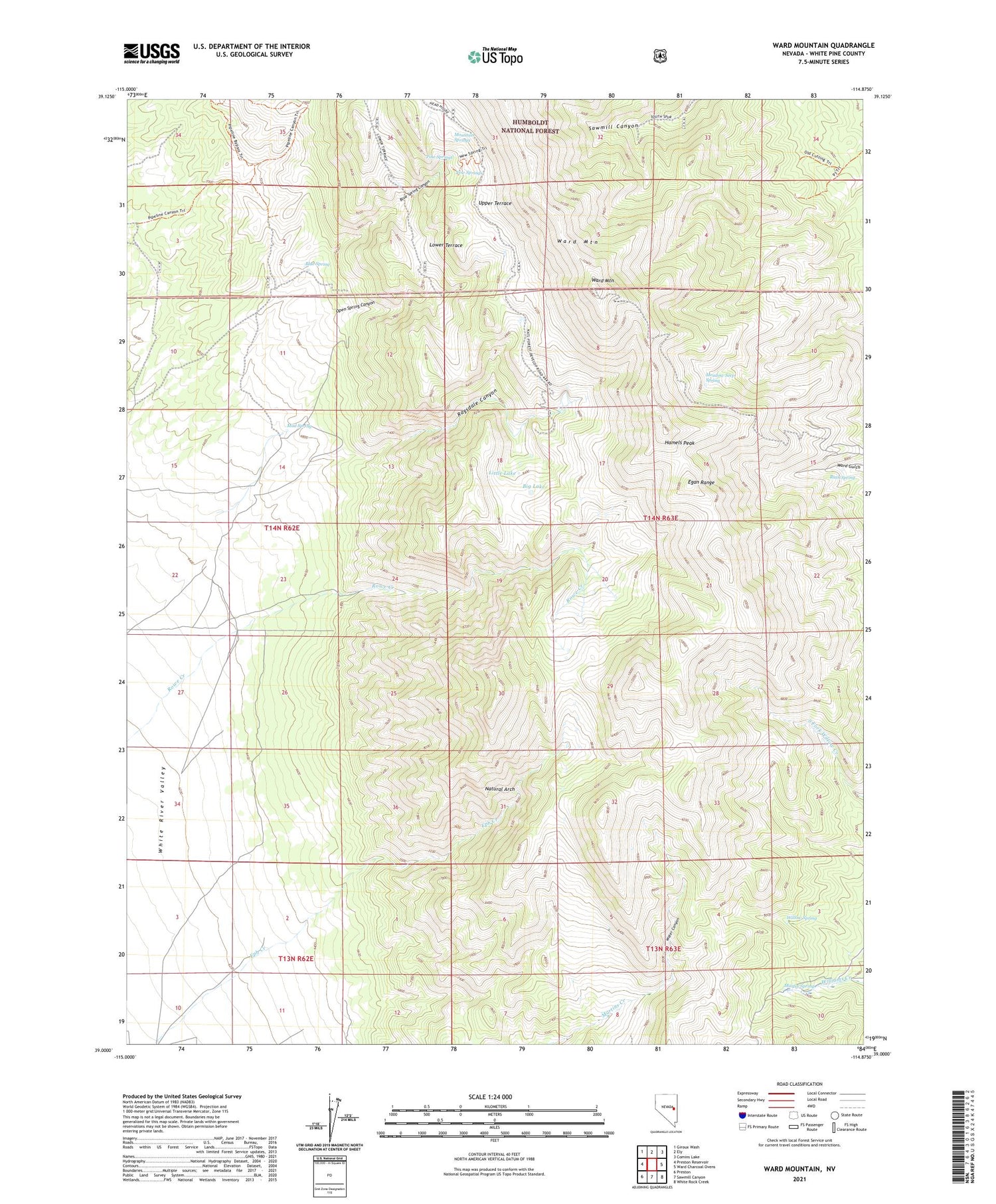
Ward Mountain Nevada US Topo Map
Couldn't load pickup availability
2021 topographic map quadrangle Ward Mountain in the state of Nevada. Scale: 1:24000. Based on the newly updated USGS 7.5' US Topo map series, this map is in the following counties: White Pine. The map contains contour data, water features, and other items you are used to seeing on USGS maps, but also has updated roads and other features. This is the next generation of topographic maps. Printed on high-quality waterproof paper with UV fade-resistant inks.
Quads adjacent to this one:
West: Preston Reservoir
Northwest: Giroux Wash
North: Ely
Northeast: Comins Lake
East: Ward Charcoal Ovens
Southeast: White Rock Creek
South: Sawmill Canyon
Southwest: Preston
Contains the following named places: Big Lake, Blue Spring, Blue Spring Canyon, Defiance Claim, Hamels Peak, Little Lake, Lower Terrace, Martin Spring, Meadow Seep Spring, Mountain Springs, Mud Spring, Natural Arch, New Springs, Old Quaker Mine, Open Spring Canyon, Paymaster Mine, Pine Springs, Pleides Shaft, Ragsdale Canyon, Ruth Spring, Upper Terrace, Ward Mine, Ward Mining District, Ward Mountain, Willow Spring