MyTopo
Success Pond New Hampshire US Topo Map
Couldn't load pickup availability
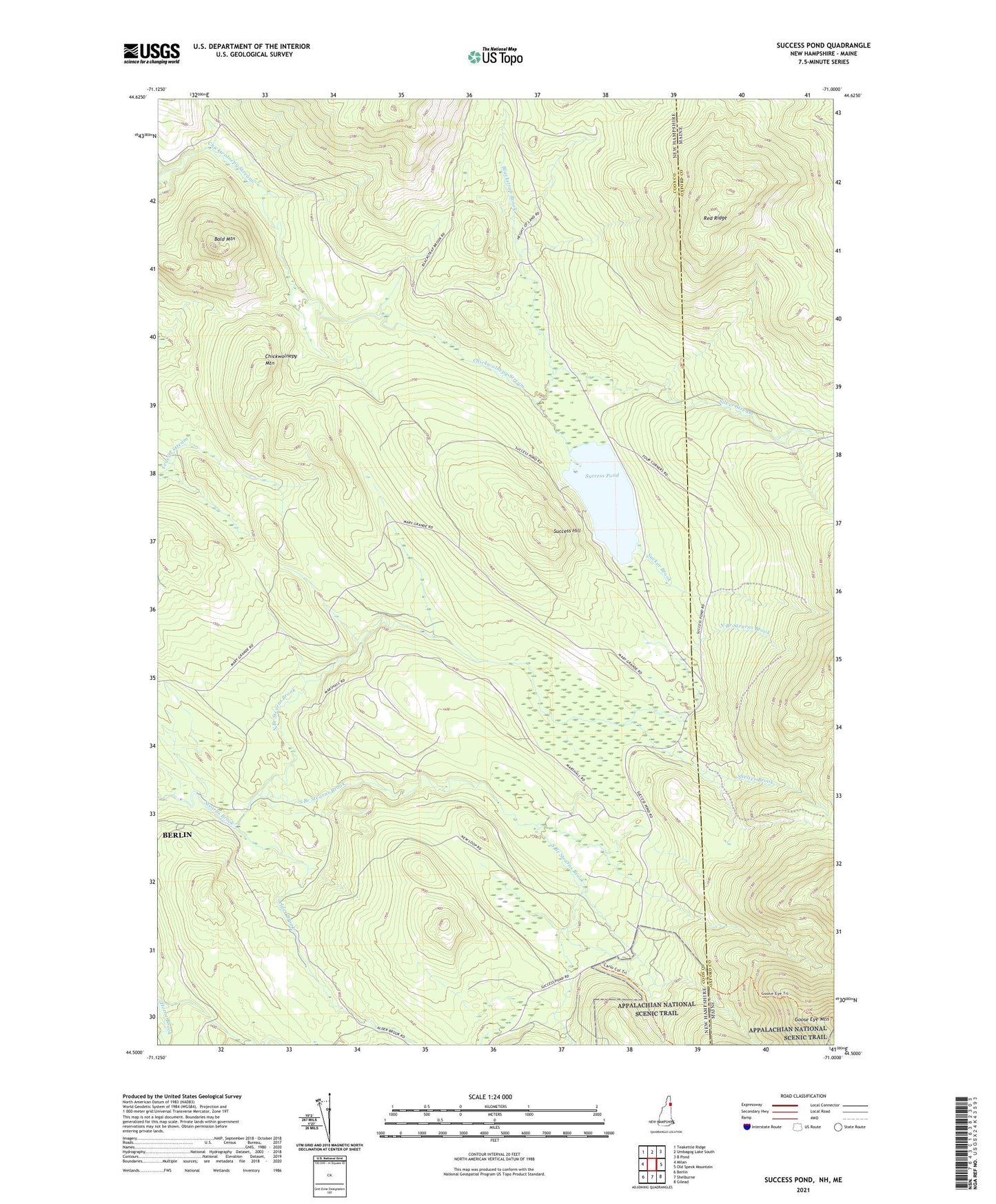
2021 topographic map quadrangle Success Pond in the states of New Hampshire, Maine. Scale: 1:24000. Based on the newly updated USGS 7.5' US Topo map series, this map is in the following counties: Coos, Oxford. The map contains contour data, water features, and other items you are used to seeing on USGS maps, but also has updated roads and other features. This is the next generation of topographic maps. Printed on high-quality waterproof paper with UV fade-resistant inks.
Quads adjacent to this one:
West: Milan
Northwest: Teakettle Ridge
North: Umbagog Lake South
Northeast: B Pond
East: Old Speck Mountain
Southeast: Gilead
South: Shelburne
Southwest: Berlin
Contains the following named places: Alder Brook, Bald Mountain, Blackstrap Brook, Chickwolnepy Mountain, Goose Eye Trail, North Branch Stearns Brook, Red Ridge, Shelter Brook, Silver Stream, South Branch Stearns Brook, Speck Pond Trail, Success Hill, Success Pond, Sucker Brook, Township of Success