MyTopo
Umbagog Lake South New Hampshire US Topo Map
Couldn't load pickup availability
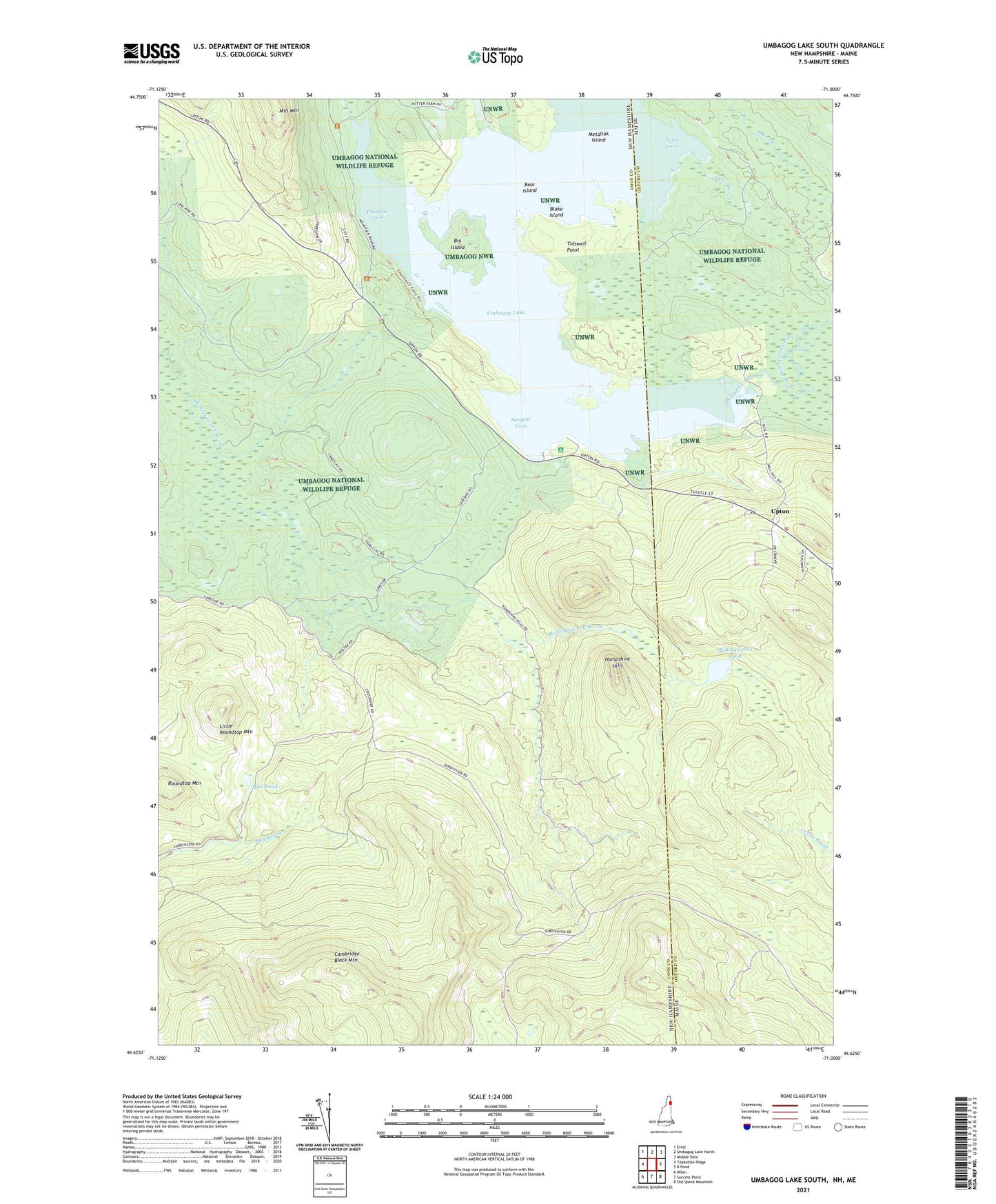
2021 topographic map quadrangle Umbagog Lake South in the states of New Hampshire, Maine. Scale: 1:24000. Based on the newly updated USGS 7.5' US Topo map series, this map is in the following counties: Coos, Oxford. The map contains contour data, water features, and other items you are used to seeing on USGS maps, but also has updated roads and other features. This is the next generation of topographic maps. Printed on high-quality waterproof paper with UV fade-resistant inks.
Quads adjacent to this one:
West: Teakettle Ridge
Northwest: Errol
North: Umbagog Lake North
Northeast: Middle Dam
East: B Pond
Southeast: Old Speck Mountain
South: Success Pond
Southwest: Milan
Contains the following named places: Bear Island, Big Island, Blake Island, Cambridge Black Mountain, Dead Cambridge River, Hampshire Hills, Little Roundtop Mountain, Metallak Island, Mill Mountain, Mollidgewock Pond, Mud Pond, Roundtop Mountain, Sargent Cove, Thurston Cove, Tidswell Point, Township of Cambridge, Tyler Brook, Tyler Cove, Upton