MyTopo
Woodsville New Hampshire US Topo Map
Couldn't load pickup availability
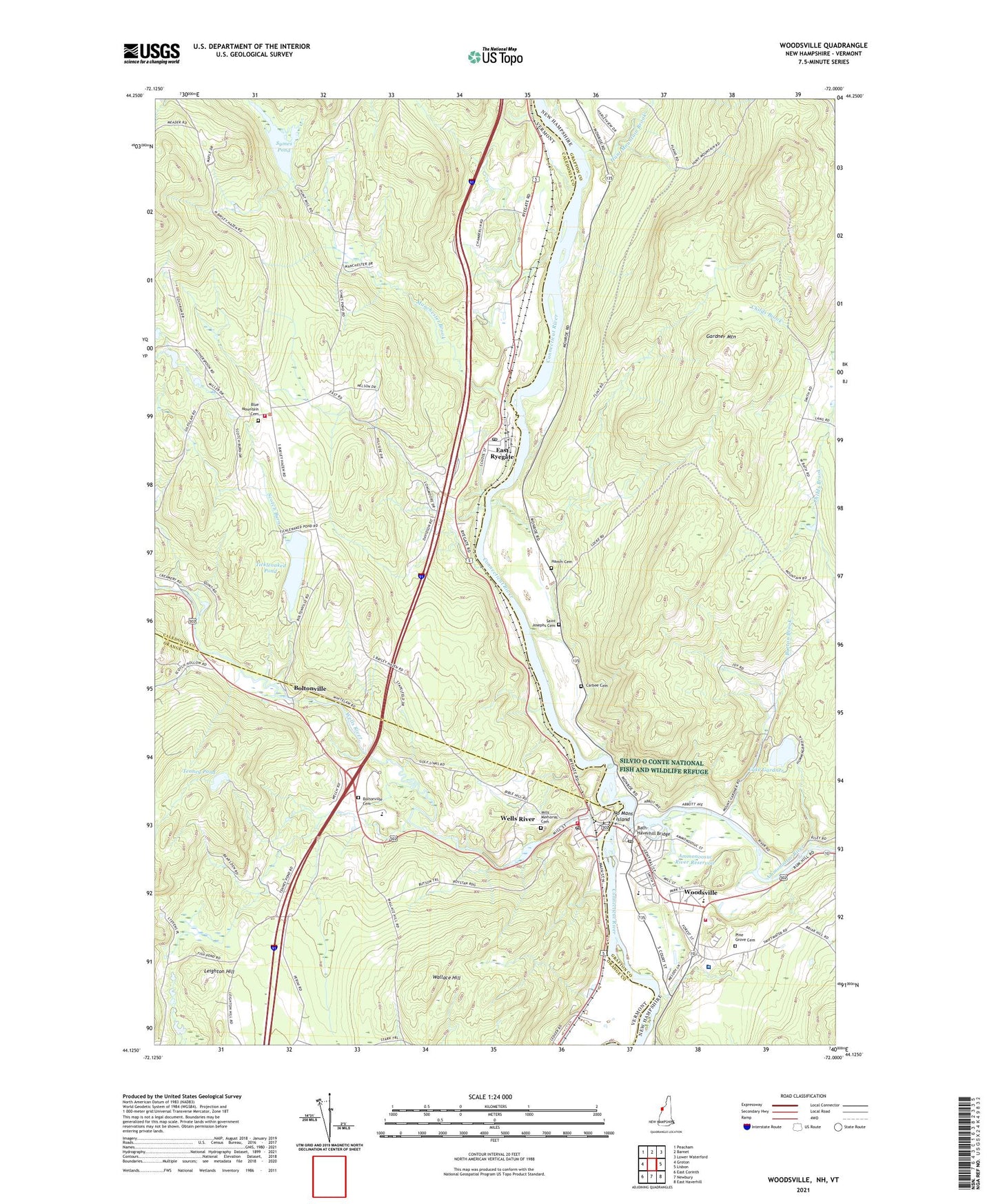
2024 topographic map quadrangle Woodsville in the states of Vermont, New Hampshire. Scale: 1:24000. Based on the newly updated USGS 7.5' US Topo map series, this map is in the following counties: Grafton, Caledonia, Orange. The map contains contour data, water features, and other items you are used to seeing on USGS maps, but also has updated roads and other features. This is the next generation of topographic maps. Printed on high-quality waterproof paper with UV fade-resistant inks.
Quads adjacent to this one:
West: Groton
Northwest: Peacham
East: Lisbon
Southeast: East Haverhill
Southwest: East Corinth
Contains the following named places: Ammonoosuc River, Ammonoosuc River Reservoir, Bath-Haverhill Bridge, Blue Mountain Cemetery, Blue Mountain School, Blue Mountain Supervisory Union, Boltonville, Boltonville Cemetery, Burton Brook, Carbee Cemetery, Carbee School, Connecticut River Reservoir, Cottage Hospital, East Ryegate, East Ryegate Post Office, Four Corners, French Pond School, Gardner Mountain, Hamm Cemetery, Hunt Mountain Brook, King Street School, Lake Gardner, Leighton Hill School, Manchester Brook, Mills Memorial Cemetery, Newbury Volunteer Fire Department Wells River Station, No Mans Island, Pine Grove Cemetery, Pleasant Valley Campground, Red School, Ryegate Corner, Ryegate Fire Department, Ryegate Paper Company Dam, Saint Josephs Cemetery, Saint Luke Episcopal Church, Scotch Burn, Symes Pond, Tenney Pond, Ticklenaked Pond, Town of Ryegate, Village of Wells River, Wallace Hill, Warners Campground, Wells River, Wells River Historic District, Wells River Post Office, West Bath School, Woodsville, Woodsville Census Designated Place, Woodsville Elementary School, Woodsville Emergency Services, Woodsville Fire and Rescue, Woodsville Free Public Library, Woodsville High School, Woodsville Hydroelectric Dam, Woodsville Junction, Woodsville Opera Building, Woodsville Post Office, WYKR-AM (Wells River), ZIP Code: 05042


