MyTopo
Benavidez Ranch New Mexico US Topo Map
Couldn't load pickup availability
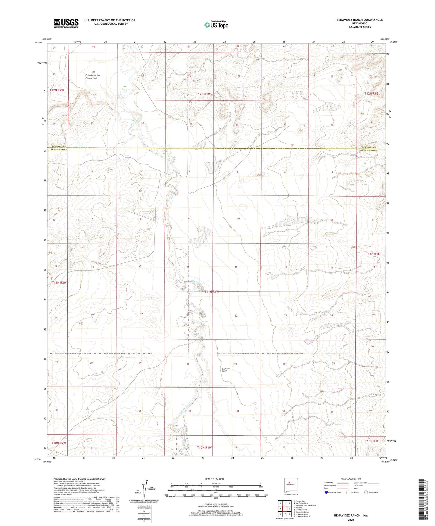
2023 topographic map quadrangle Benavidez Ranch in the state of New Mexico. Scale: 1:24000. Based on the newly updated USGS 7.5' US Topo map series, this map is in the following counties: Bernalillo, Sandoval. The map contains contour data, water features, and other items you are used to seeing on USGS maps, but also has updated roads and other features. This is the next generation of topographic maps. Printed on high-quality waterproof paper with UV fade-resistant inks.
Quads adjacent to this one:
West: Herrera
Northwest: Puerco Dam
North: San Felipe Mesa
Northeast: Arroyo de las Calabacillas
East: The Volcanoes
Southeast: La Mesita Negra SE
South: La Mesita Negra
Southwest: Canoncito School
This map covers the same area as the classic USGS quad with code o35106b8.
Contains the following named places: Arroyo Benavidez, Benavidez Ranch, Heron Prospect, Rio Puerco Ranch, WQ-2 Water Well, WQ-7 Water Well