MyTopo
Bernalillo NW New Mexico US Topo Map
Couldn't load pickup availability
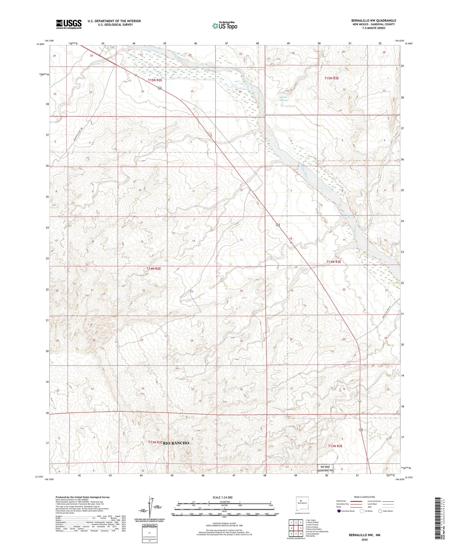
2023 topographic map quadrangle Bernalillo NW in the state of New Mexico. Scale: 1:24000. Based on the newly updated USGS 7.5' US Topo map series, this map is in the following counties: Sandoval. The map contains contour data, water features, and other items you are used to seeing on USGS maps, but also has updated roads and other features. This is the next generation of topographic maps. Printed on high-quality waterproof paper with UV fade-resistant inks.
Quads adjacent to this one:
West: Cerro Conejo
Northwest: San Ysidro
North: Jemez Pueblo
Northeast: Loma Creston
East: Santa Ana Pueblo
Southeast: Bernalillo
South: Loma Machete
Southwest: Arroyo de las Calabacillas
This map covers the same area as the classic USGS quad with code o35106d6.
Contains the following named places: Arroyo Arenoso, Arroyo Ojito, Jemez Windmill, RWP-1 Water Well