MyTopo
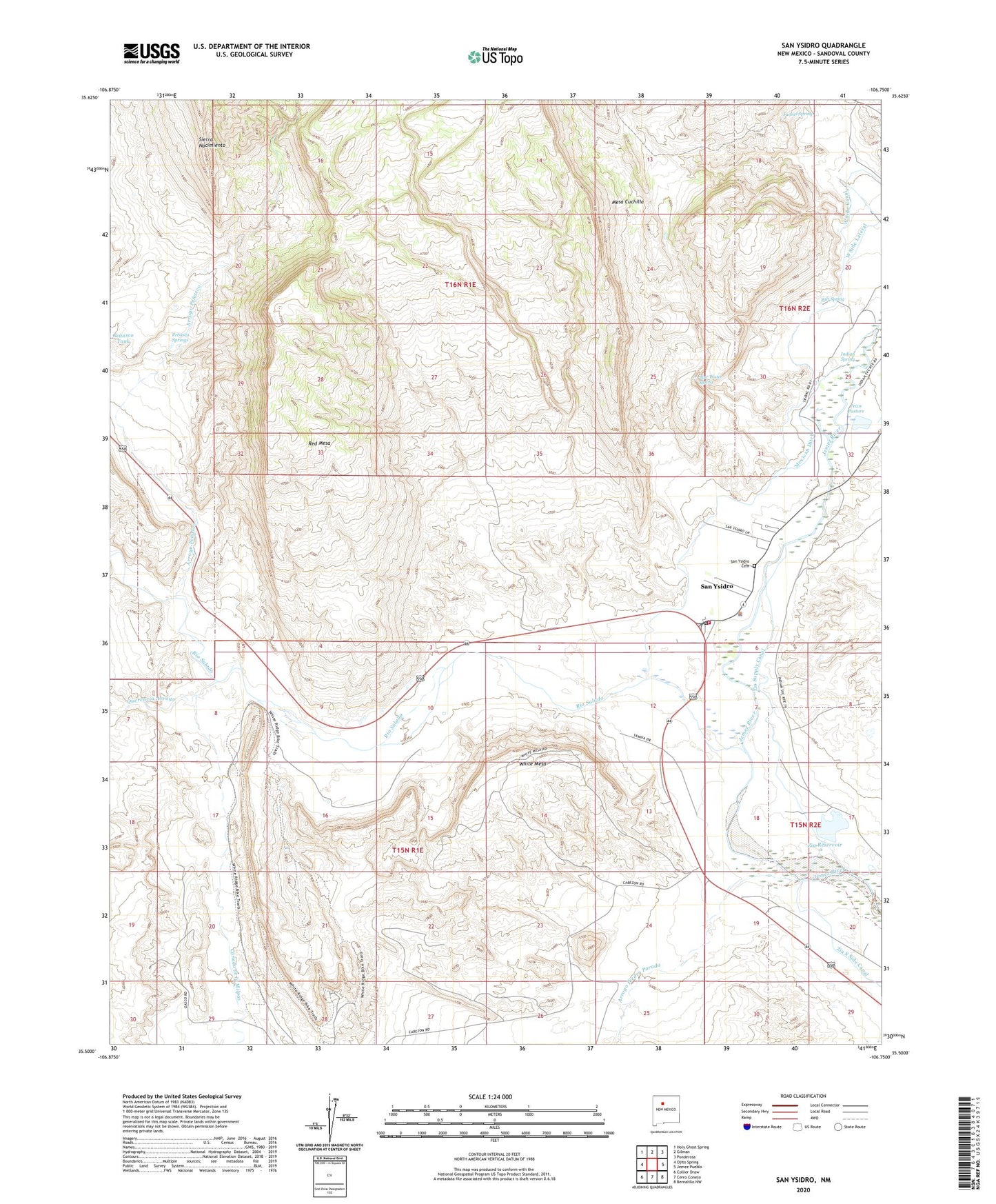
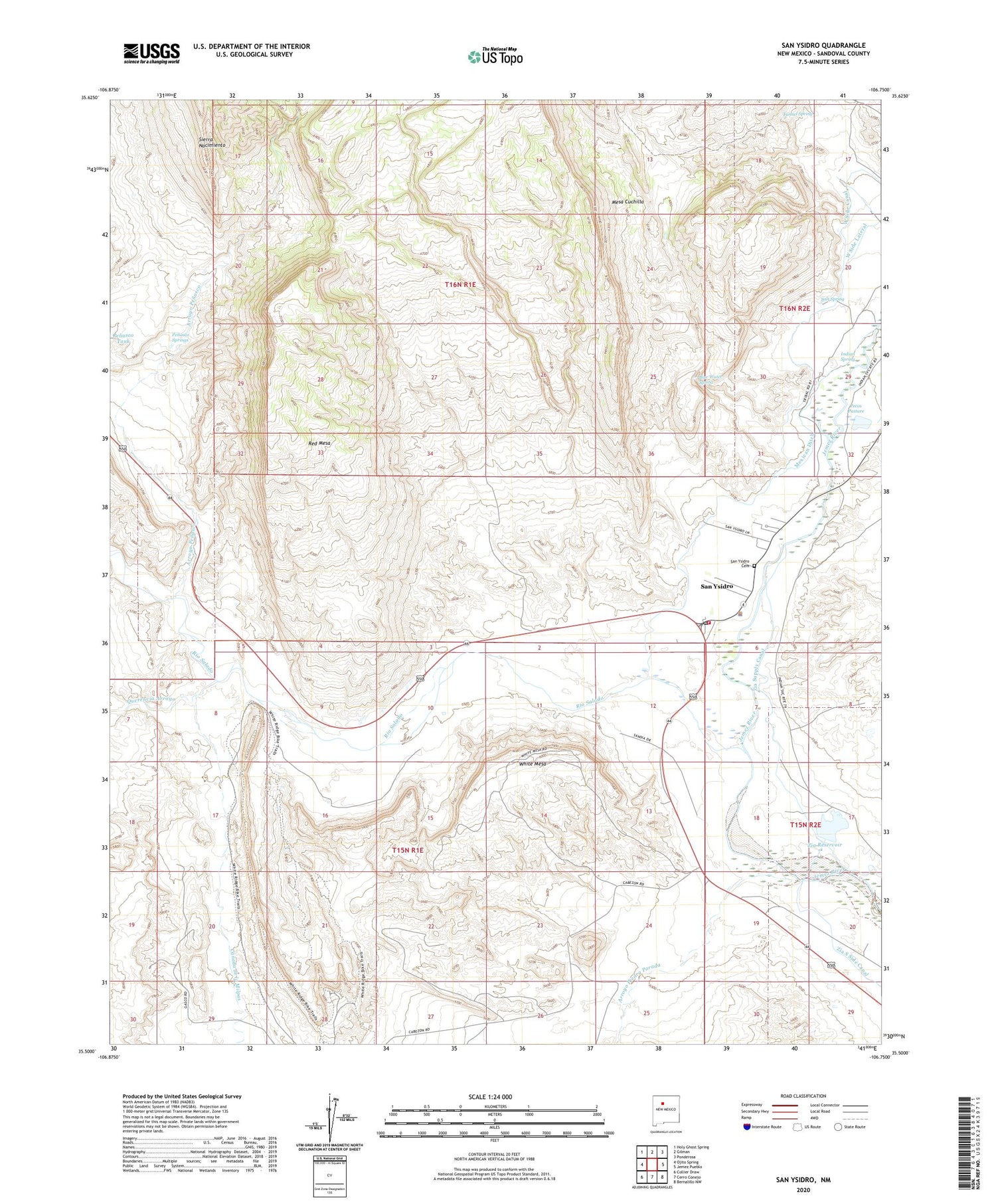
San Ysidro New Mexico US Topo Map
Couldn't load pickup availability
2023 topographic map quadrangle San Ysidro in the state of New Mexico. Scale: 1:24000. Based on the newly updated USGS 7.5' US Topo map series, this map is in the following counties: Sandoval. The map contains contour data, water features, and other items you are used to seeing on USGS maps, but also has updated roads and other features. This is the next generation of topographic maps. Printed on high-quality waterproof paper with UV fade-resistant inks.
Quads adjacent to this one:
West: Ojito Spring
Northwest: Holy Ghost Spring
North: Gilman
Northeast: Ponderosa
East: Jemez Pueblo
Southeast: Bernalillo NW
South: Cerro Conejo
Southwest: Collier Draw
This map covers the same area as the classic USGS quad with code o35106e7.
Contains the following named places: Abandoned Water Well, Arroyo Penasco, Arroyo Piedra Parada, Blue Sky, Blue Water Spring, Canada de la Milpas, Canoncitos, Indian Spring, Jonas Pumice and Gypsum, Lone Star Prospect, Mesa Cuchilla, Mexican Ditch, Morris-Peters Prospect Number 2, Morris-Peters Prospect Number 3, Morris-Peters Prospect Number One, Pecos Pasture, Penasco Springs, Querencia Arroyo, Red Mesa, Rio Salado, Salt Spring, San Ysidro, San Ysidro Cemetery, San Ysidro Fire Department, San Ysidro Grant, San Ysidro Police Department, San Ysidro Post Office, Tunnel Spring, Vasquez de Coronados Route Historical Marker, Village of San Ysidro, White Mesa, White Mesa Gypsum Mine, White Mesa Pit, Zia Reservoir, Zia Supply Canal


