MyTopo
Burnt Mesa New Mexico US Topo Map
Couldn't load pickup availability
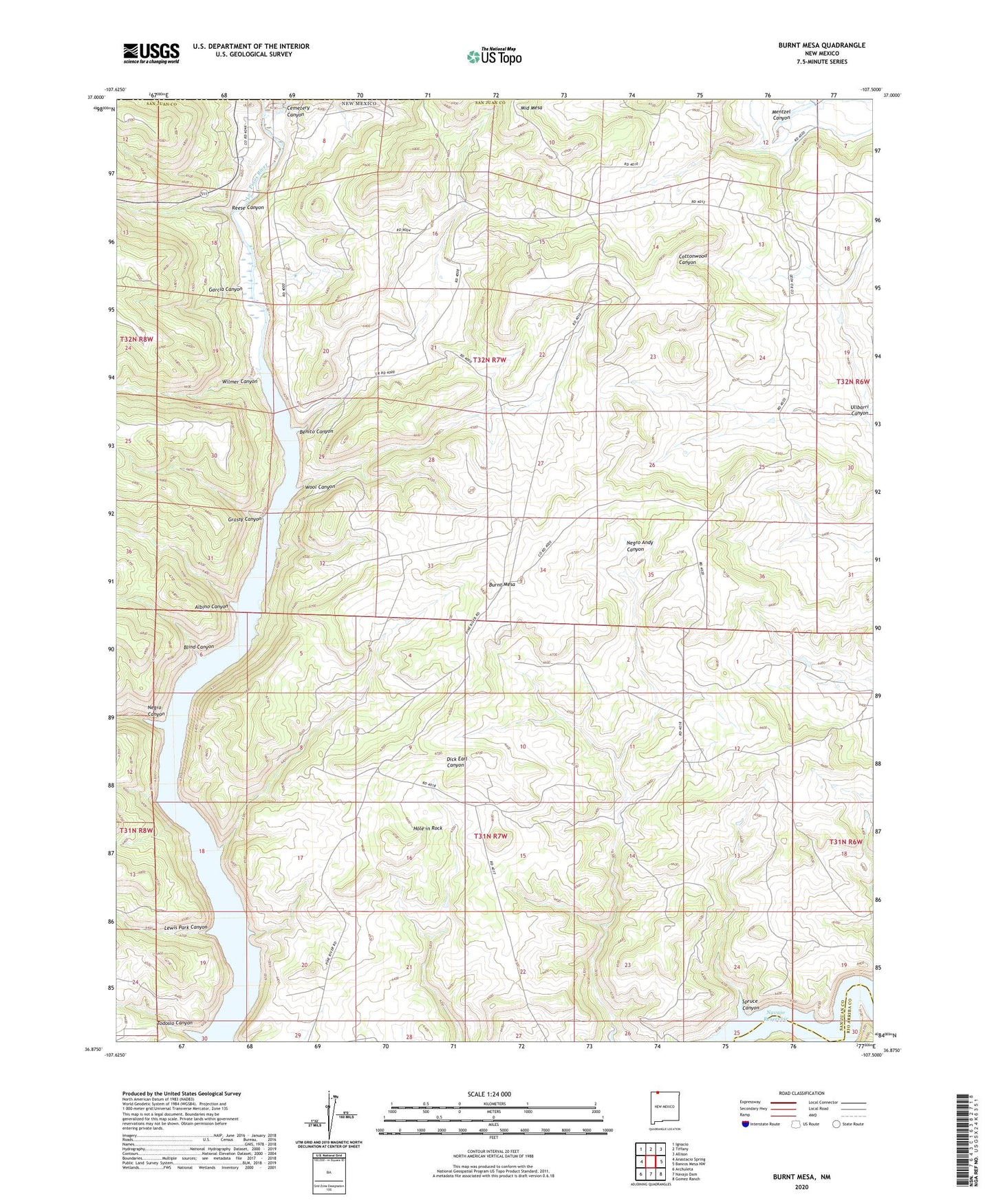
2020 topographic map quadrangle Burnt Mesa in the state of New Mexico. Scale: 1:24000. Based on the newly updated USGS 7.5' US Topo map series, this map is in the following counties: San Juan, Rio Arriba. The map contains contour data, water features, and other items you are used to seeing on USGS maps, but also has updated roads and other features. This is the next generation of topographic maps. Printed on high-quality waterproof paper with UV fade-resistant inks.
Quads adjacent to this one:
West: Anastacio Spring
Northwest: Ignacio
North: Tiffany
Northeast: Allison
East: Bancos Mesa NW
Southeast: Gomez Ranch
South: Navajo Dam
Southwest: Archuleta
Contains the following named places: Albino Canyon, Benito Canyon, Benito School, Blind Canyon, Burnt Mesa, Cemetery Canyon, Christopher Place, Garcia Canyon, Garcia Place, Grassy Canyon, Hole in Rock, La Boca, La Boca Census Designated Place, Lewis Park Canyon, Lucero Place, Mackey Place, Mentzel Canyon, Mentzel Ditch, Middle Mesa Census Designated Place, Mullen Place, Negro Canyon, Reese Canyon, Self Place, Spruce Canyon, Todosio Canyon, Ulibarri Canyon, Ulibarri Place, Wilmer Canyon, Wool Canyon, Young Place