MyTopo
Navajo Dam New Mexico US Topo Map
Couldn't load pickup availability
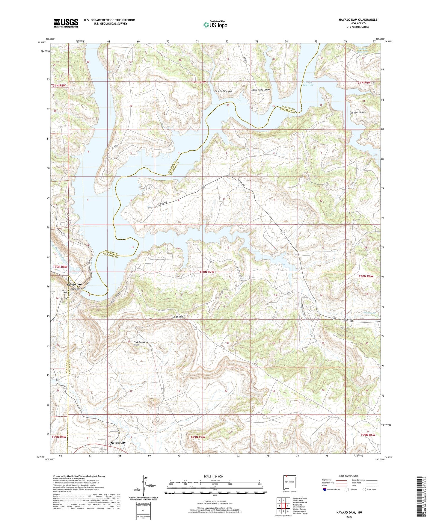
2023 topographic map quadrangle Navajo Dam in the state of New Mexico. Scale: 1:24000. Based on the newly updated USGS 7.5' US Topo map series, this map is in the following counties: Rio Arriba, San Juan. The map contains contour data, water features, and other items you are used to seeing on USGS maps, but also has updated roads and other features. This is the next generation of topographic maps. Printed on high-quality waterproof paper with UV fade-resistant inks.
Quads adjacent to this one:
West: Archuleta
Northwest: Anastacio Spring
North: Burnt Mesa
Northeast: Bancos Mesa NW
East: Gomez Ranch
Southeast: Fourmile Canyon
South: Delgadita Mesa
Southwest: Cutter Canyon
This map covers the same area as the classic USGS quad with code o36107g5.
Contains the following named places: Dick Earl Canyon, El Gobernador Knob, Frances Creek, La Jara Canyon, La Jara Creek, Los Pinos River, Navajo City, Navajo Dam, Negro Andy Canyon, Smith Pass