MyTopo
Cabin Wells New Mexico US Topo Map
Couldn't load pickup availability
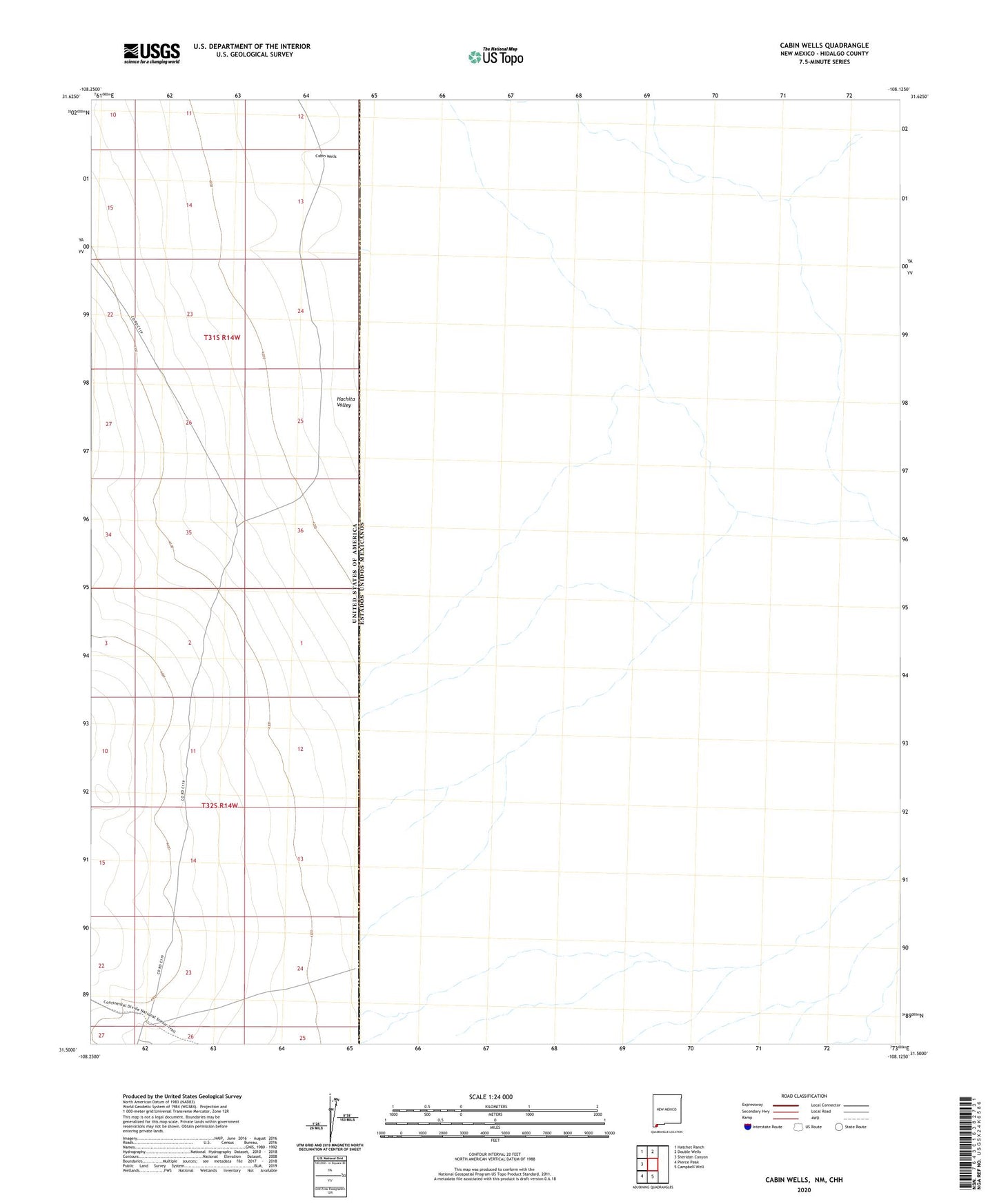
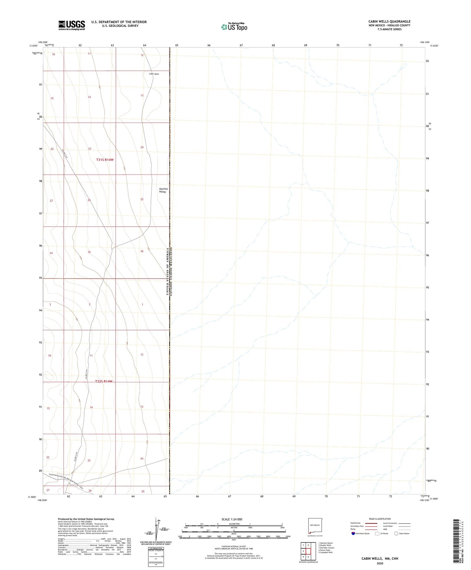
2023 topographic map quadrangle Cabin Wells in the state of New Mexico. Scale: 1:24000. Based on the newly updated USGS 7.5' US Topo map series, this map is in the following counties: Hidalgo. The map contains contour data, water features, and other items you are used to seeing on USGS maps, but also has updated roads and other features. This is the next generation of topographic maps. Printed on high-quality waterproof paper with UV fade-resistant inks.
Quads adjacent to this one:
West: Sheridan Canyon
Northwest: Hatchet Ranch
North: Double Wells
South: Campbell Well
Southwest: Pierce Peak
This map covers the same area as the classic USGS quad with code o31108e2.
Contains the following named places: Cabin Wells, Hachita Valley, Hatchet New Well, Mengus Camp, Mengus Tank