
MyTopo
Hatchet Ranch New Mexico US Topo Map
Couldn't load pickup availability
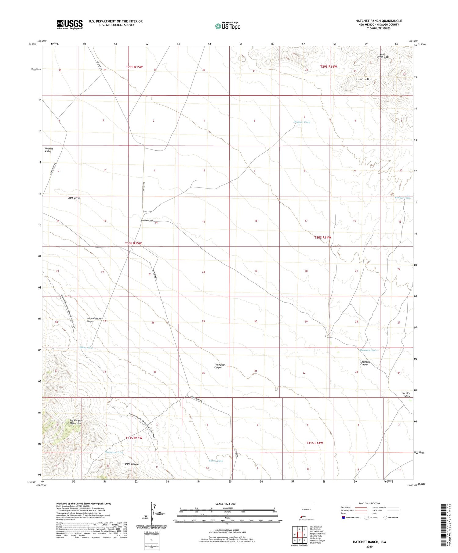
2023 topographic map quadrangle Hatchet Ranch in the state of New Mexico. Scale: 1:24000. Based on the newly updated USGS 7.5' US Topo map series, this map is in the following counties: Hidalgo. The map contains contour data, water features, and other items you are used to seeing on USGS maps, but also has updated roads and other features. This is the next generation of topographic maps. Printed on high-quality waterproof paper with UV fade-resistant inks.
Quads adjacent to this one:
West: Big Hatchet Peak
Northwest: Hachita Peak
North: Doyle Peak
Northeast: Victorio Ranch
East: Double Wells
Southeast: Cabin Wells
South: Sheridan Canyon
Southwest: U Bar Ridge
This map covers the same area as the classic USGS quad with code o31108f3.
Contains the following named places: Badger Tank, Badger Windmill, Batter Tank, Dark Canyon, Dishpan Tank, Elkins Tank, Hatchet Ranch, Horse Pasture Canyon, Lone Ceder Gap, Muscrath Draw, Ram Gorge, Richens Ranch, Sheridan Canyon, Thompson Canyon, Thompson Tank


