MyTopo
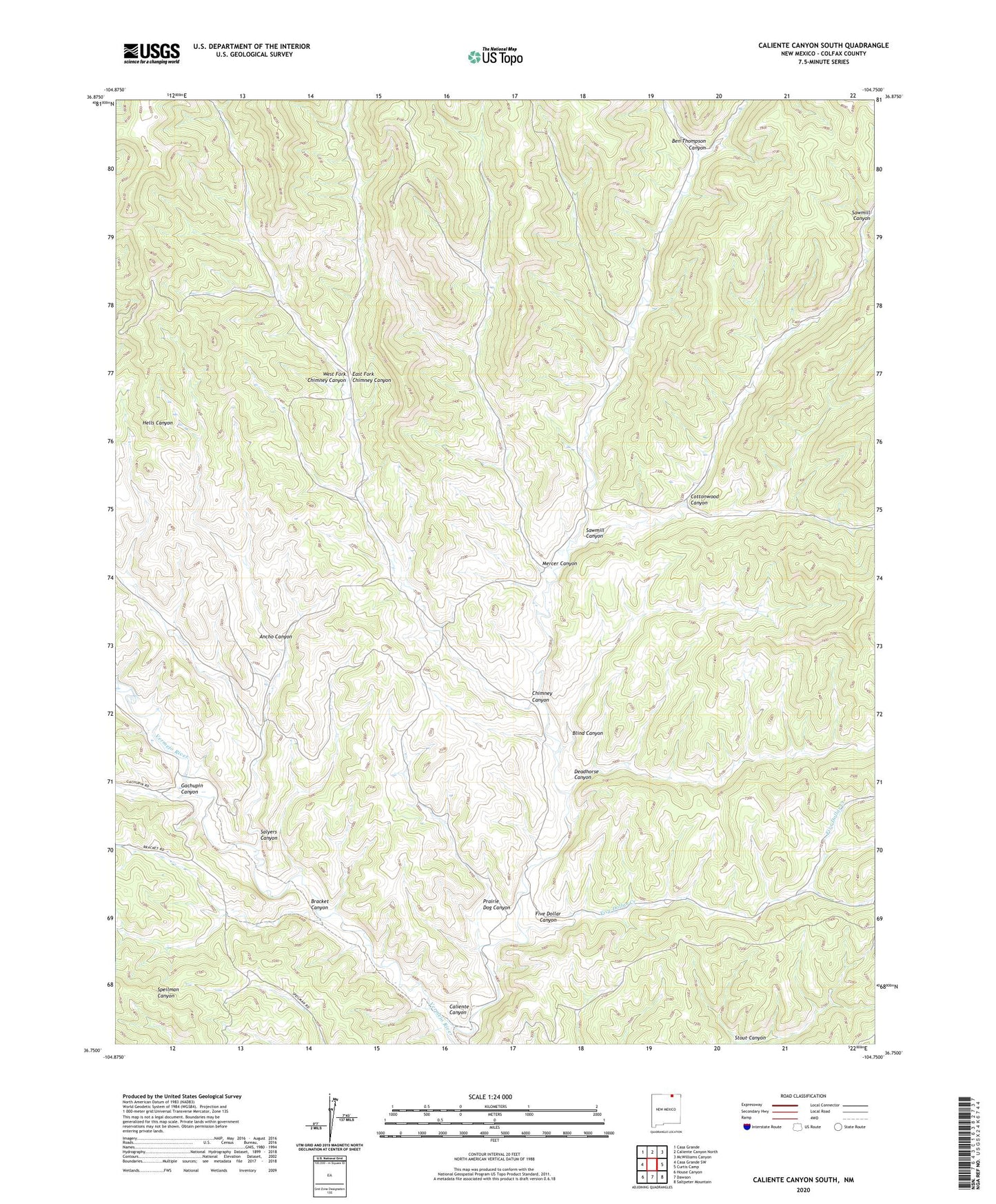
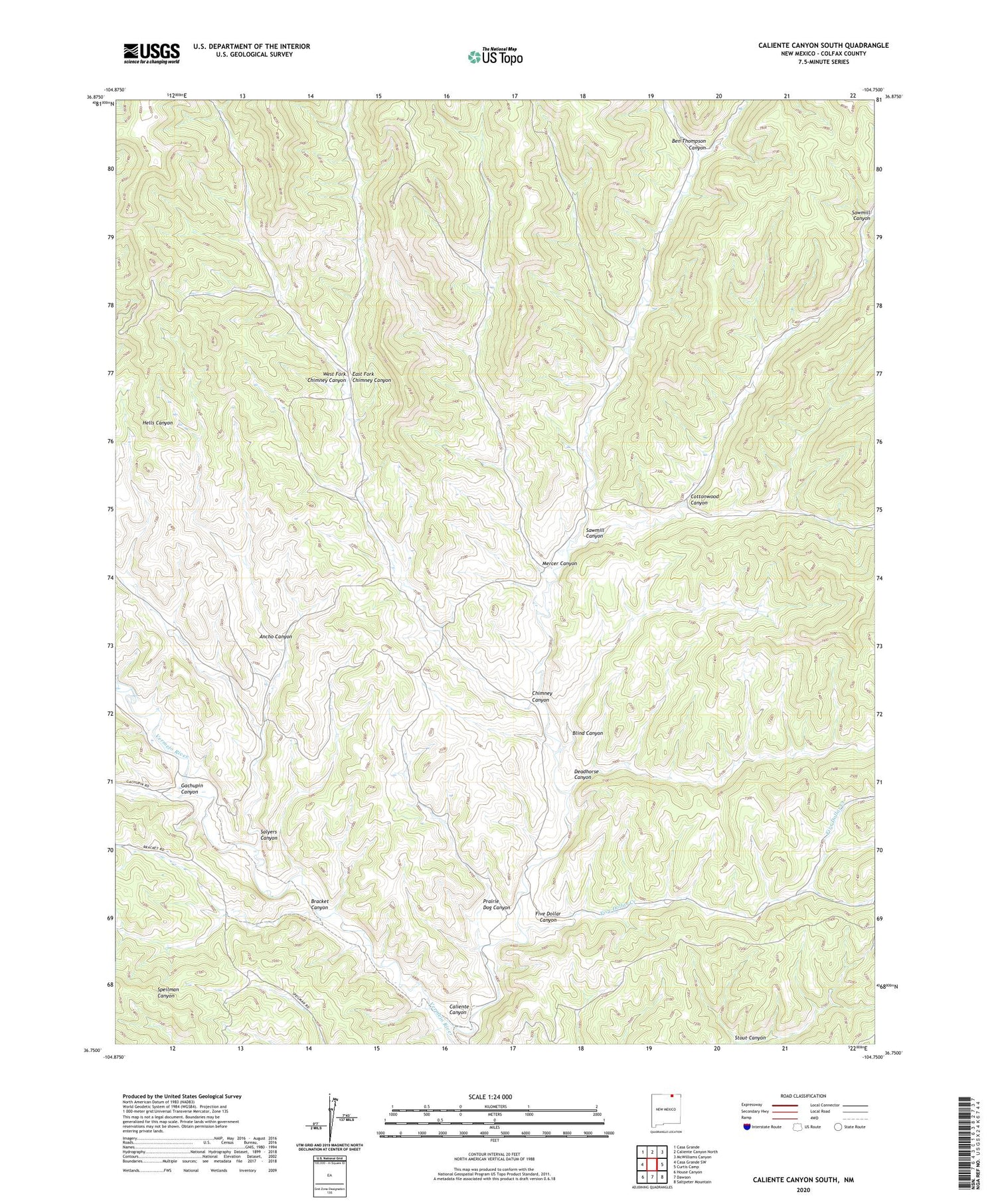
Caliente Canyon South New Mexico US Topo Map
Couldn't load pickup availability
2020 topographic map quadrangle Caliente Canyon South in the state of New Mexico. Scale: 1:24000. Based on the newly updated USGS 7.5' US Topo map series, this map is in the following counties: Colfax. The map contains contour data, water features, and other items you are used to seeing on USGS maps, but also has updated roads and other features. This is the next generation of topographic maps. Printed on high-quality waterproof paper with UV fade-resistant inks.
Quads adjacent to this one:
West: Casa Grande SW
Northwest: Casa Grande
North: Caliente Canyon North
Northeast: McWilliams Canyon
East: Curtis Camp
Southeast: Saltpeter Mountain
South: Dawson
Southwest: House Canyon
Contains the following named places: Ancho Canyon, Ben Thompson Canyon, Blind Canyon, Bracket Canyon, Caliente Canyon, Chimney Canyon, Cottonwood Canyon, Deadhorse Canyon, East Fork Chimney Canyon, Five Dollar Canyon, Five Dollar Creek, Gachupin Canyon, Hells Canyon, Horse Ranch Camp, Mercer Canyon, Prairie Dog Canyon, Salyers Canyon, Sawmill Canyon, W S Ranch Camp, West Fork Chimney Canyon