MyTopo
Canon Olguin New Mexico US Topo Map
Couldn't load pickup availability
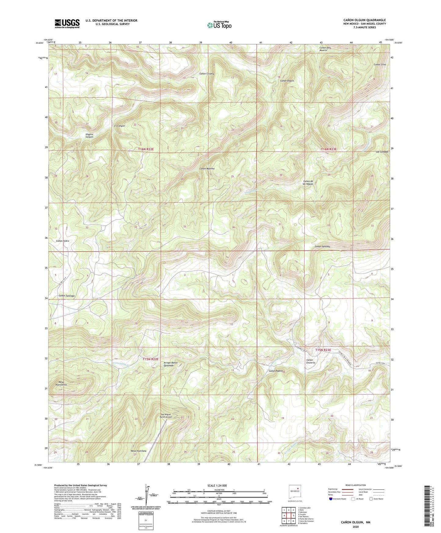
2023 topographic map quadrangle Canon Olguin in the state of New Mexico. Scale: 1:24000. Based on the newly updated USGS 7.5' US Topo map series, this map is in the following counties: San Miguel. The map contains contour data, water features, and other items you are used to seeing on USGS maps, but also has updated roads and other features. This is the next generation of topographic maps. Printed on high-quality waterproof paper with UV fade-resistant inks.
Quads adjacent to this one:
West: Trujillo
Northwest: Llonidas Lake
North: Maes
Northeast: Sabinoso
East: San Ramon
Southeast: Variadero
South: Cerro De Corazon
Southwest: Punta Del Chorro
This map covers the same area as the classic USGS quad with code o35104e5.
Contains the following named places: Arroyo Banco Quemado, Canon Ciruela, Canon de las Yeguas, Canon del Muerto, Canon Encierto, Canon Maximo, Canon Olguin, Canon Padilla, Higgins Canyon, J S Canyon, Las Canadas, Mesa Huerfanita, Romero, San Miguel Ranch Airport, Trementina Division