MyTopo
Carlsbad Caverns New Mexico US Topo Map
Couldn't load pickup availability
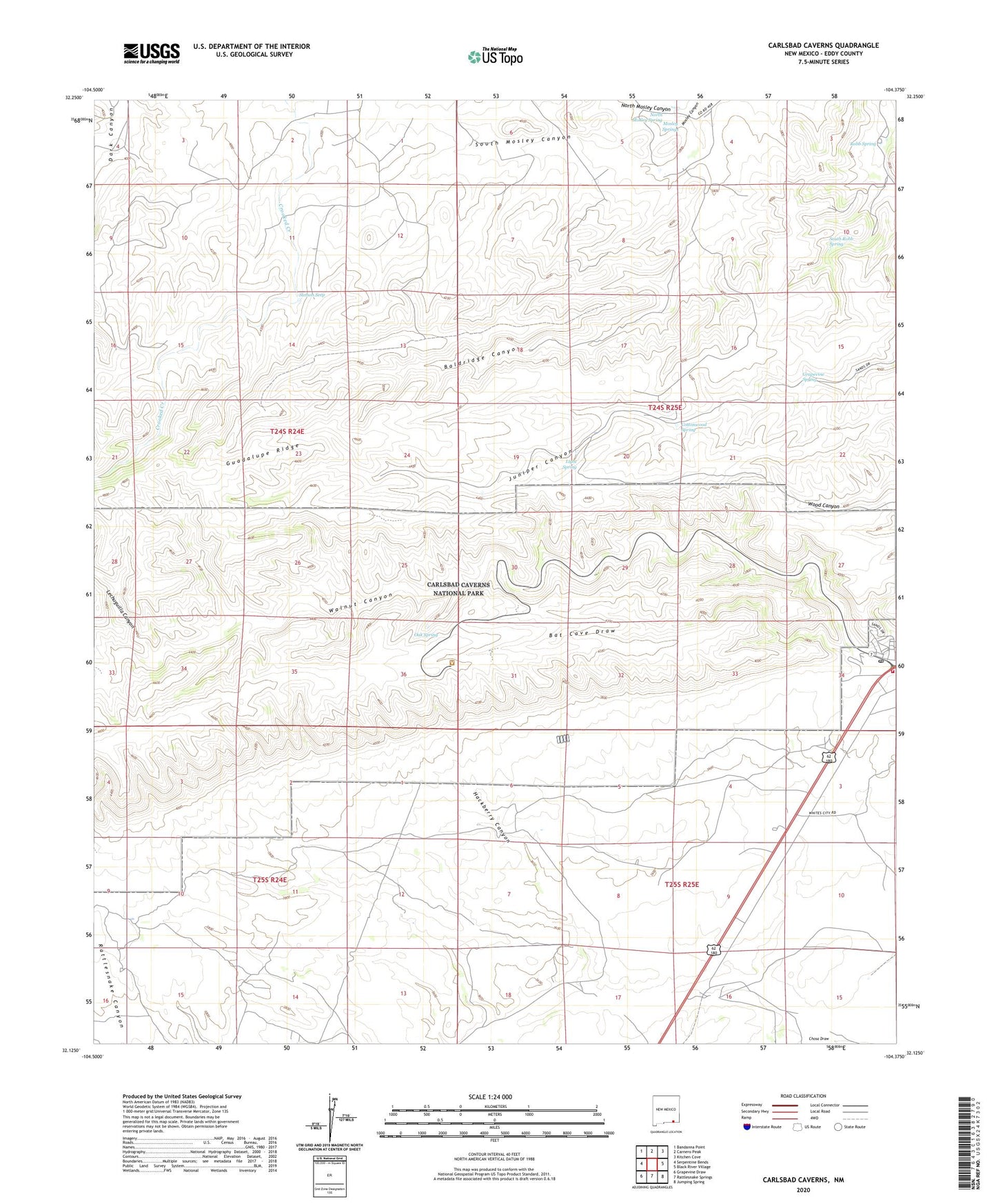
2020 topographic map quadrangle Carlsbad Caverns in the state of New Mexico. Scale: 1:24000. Based on the newly updated USGS 7.5' US Topo map series, this map is in the following counties: Eddy. The map contains contour data, water features, and other items you are used to seeing on USGS maps, but also has updated roads and other features. This is the next generation of topographic maps. Printed on high-quality waterproof paper with UV fade-resistant inks.
Quads adjacent to this one:
West: Serpentine Bends
Northwest: Bandanna Point
North: Carnero Peak
Northeast: Kitchen Cove
East: Black River Village
Southeast: Jumping Spring
South: Rattlesnake Springs
Southwest: Grapevine Draw
Contains the following named places: 10312 Water Well, 88268, Baldridge Canyon, Baldridge Well, Bat Cave Draw, Carlsbad Caverns Weather Station, Chosa Draw, Cottonwood Spring, Farrell Ranch, Grapevine Spring, Hackberry Canyon, Lechuguilla Canyon, Light Spring, Lowe Tank, Mosley Springs, North Mosley Canyon, North Mosley Spring, Oak Spring, Old Farrell Place, Old Stone Place, Painted Grotto, Pipkin Ranch, Rattlesnake Springs Historic District, Robb Spring, South Mosley Canyon, South Robb Spring, Stetson Seep, Stone Tank, W W Smith and Sons Ranch, White Ranch, Whites City, Whites City Post Office, Whites City Volunteer Fire Department Station 1