MyTopo
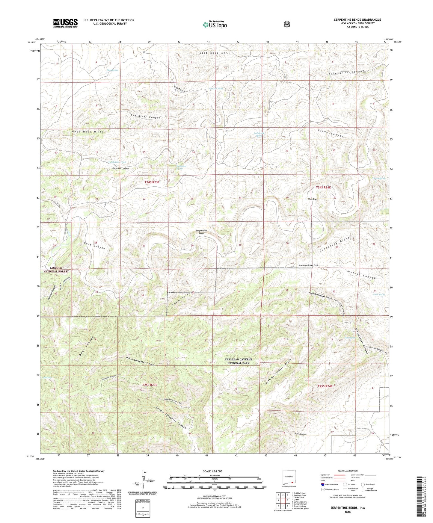
Serpentine Bends New Mexico US Topo Map
Couldn't load pickup availability
Also explore the Serpentine Bends Forest Service Topo of this same quad for updated USFS data
2023 topographic map quadrangle Serpentine Bends in the state of New Mexico. Scale: 1:24000. Based on the newly updated USGS 7.5' US Topo map series, this map is in the following counties: Eddy. The map contains contour data, water features, and other items you are used to seeing on USGS maps, but also has updated roads and other features. This is the next generation of topographic maps. Printed on high-quality waterproof paper with UV fade-resistant inks.
Quads adjacent to this one:
West: Queen
Northwest: Red Bluff Draw
North: Bandanna Point
Northeast: Carnero Peak
East: Carlsbad Caverns
Southeast: Rattlesnake Springs
South: Grapevine Draw
Southwest: Gunsight Canyon
This map covers the same area as the classic USGS quad with code o32104b5.
Contains the following named places: Able Seep, Bear Canyon, Carlsbad Caverns National Park, Carlsbad Caverns Wilderness, Dark Canyon Well, Fawn Valley, Gravel Tank, Hammond Spring, Hat Bar Well, Hess Spring, Hess Well, Johnson Tank, Lechuguilla Spring, Lowe Ranch, Lowe Spring, Middle Slaughter Canyon, Mudgetts Wilderness Study Area, North Rattlesnake Canyon, Putman Canyon, Putman Water Well, Red Bluff Canyon, Rock Bottom Well, Serpentine Bends, South Rattlesnake Canyon, Stone Canyon, Stone Spring, The Bowl, Trail Canyon, Turkey Spring, West Hess Hills, X Bar Ranch, X Bar Ranch Cemetery, Youse Well