MyTopo
Cerro De Los Taoses New Mexico US Topo Map
Couldn't load pickup availability
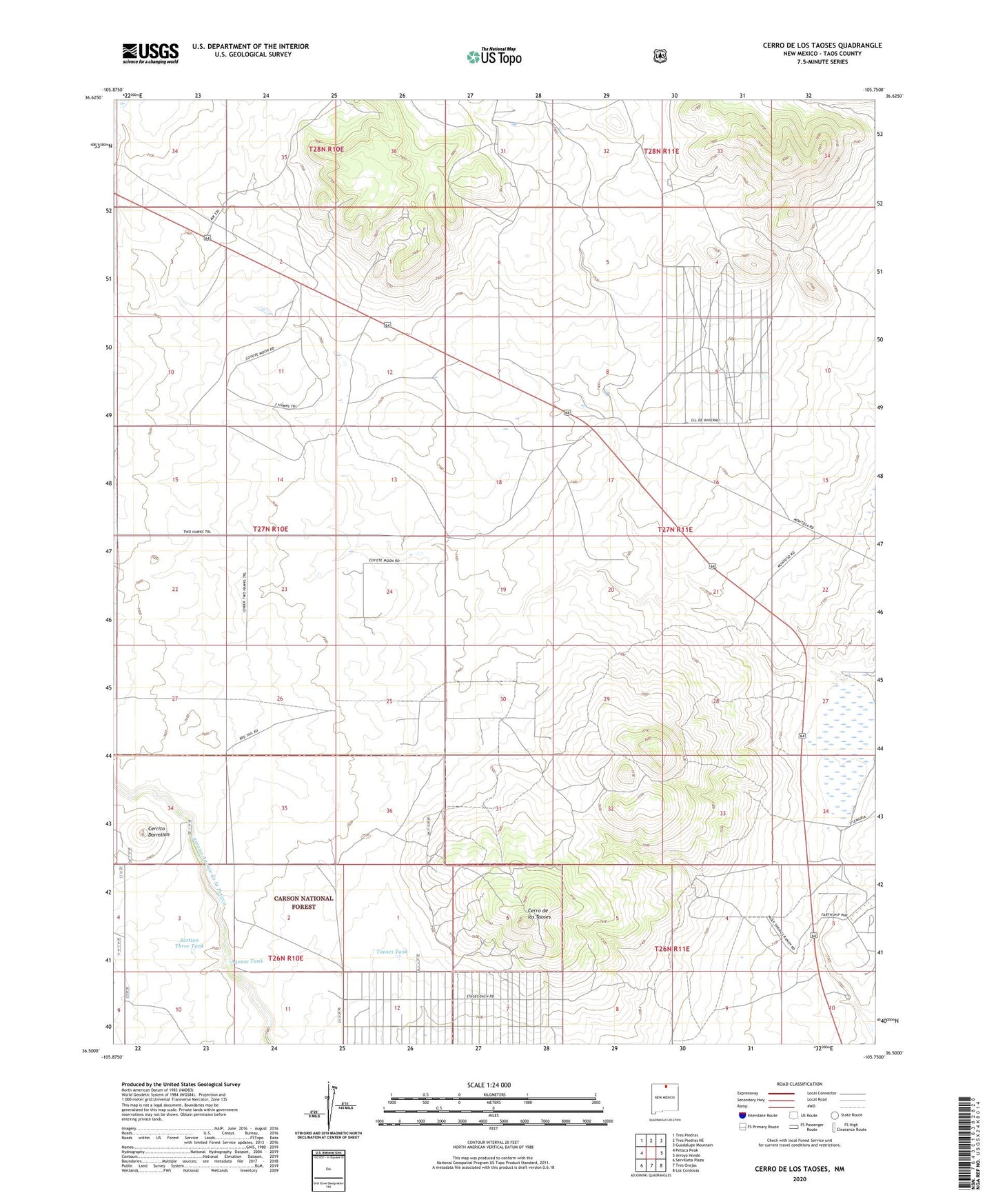
2020 topographic map quadrangle Cerro De Los Taoses in the state of New Mexico. Scale: 1:24000. Based on the newly updated USGS 7.5' US Topo map series, this map is in the following counties: Taos. The map contains contour data, water features, and other items you are used to seeing on USGS maps, but also has updated roads and other features. This is the next generation of topographic maps. Printed on high-quality waterproof paper with UV fade-resistant inks.
Quads adjacent to this one:
West: Petaca Peak
Northwest: Tres Piedras
North: Tres Piedras NE
Northeast: Guadalupe Mountain
East: Arroyo Hondo
Southeast: Los Cordovas
South: Tres Orejas
Southwest: Servilleta Plaza
Contains the following named places: Aquate Tank, Cerrito Dormilon, Cerro de los Taoses, Gamegarden Water Well, Rio Grande Rift Historical Marker, Sertion Three Tank, Taoses Tank