MyTopo
Cerro Verde New Mexico US Topo Map
Couldn't load pickup availability
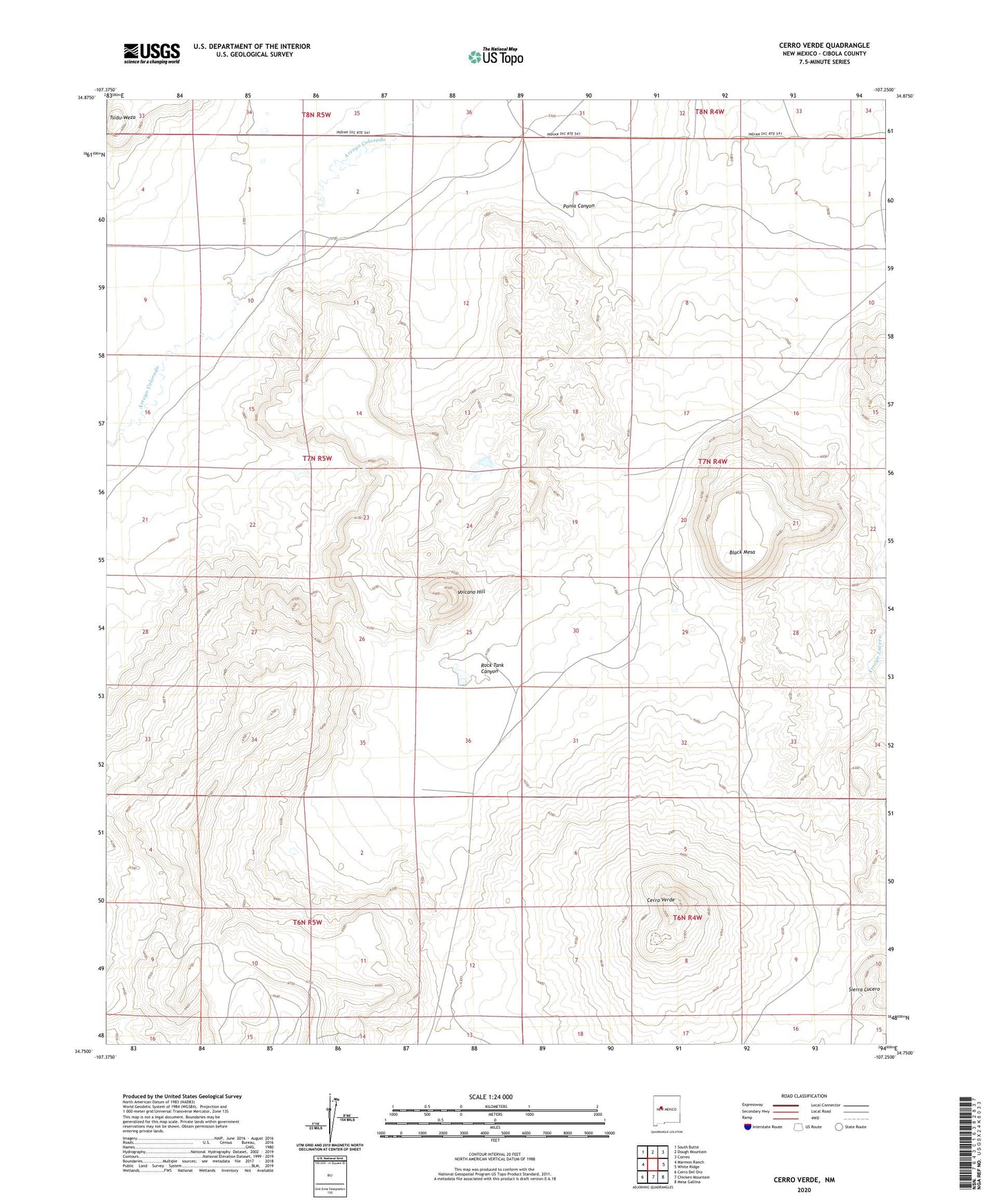
2023 topographic map quadrangle Cerro Verde in the state of New Mexico. Scale: 1:24000. Based on the newly updated USGS 7.5' US Topo map series, this map is in the following counties: Cibola. The map contains contour data, water features, and other items you are used to seeing on USGS maps, but also has updated roads and other features. This is the next generation of topographic maps. Printed on high-quality waterproof paper with UV fade-resistant inks.
Quads adjacent to this one:
West: Marmon Ranch
Northwest: South Butte
North: Dough Mountain
Northeast: Correo
East: White Ridge
Southeast: Mesa Gallina
South: Chicken Mountain
Southwest: Cerro Del Oro
This map covers the same area as the classic USGS quad with code o34107g3.
Contains the following named places: Black Mesa, Brownlow Heath Deposit, Cerro Verde, Homestead Water Well, Homestead Windmill, Place Water Well, Ponia Canyon, Rock Tank Canyon, Rock Tank Water Well, Rock Tank Windmill, Sonora Deposit, Tsidu-Weza, Volcano Hill