MyTopo
Marmon Ranch New Mexico US Topo Map
Couldn't load pickup availability
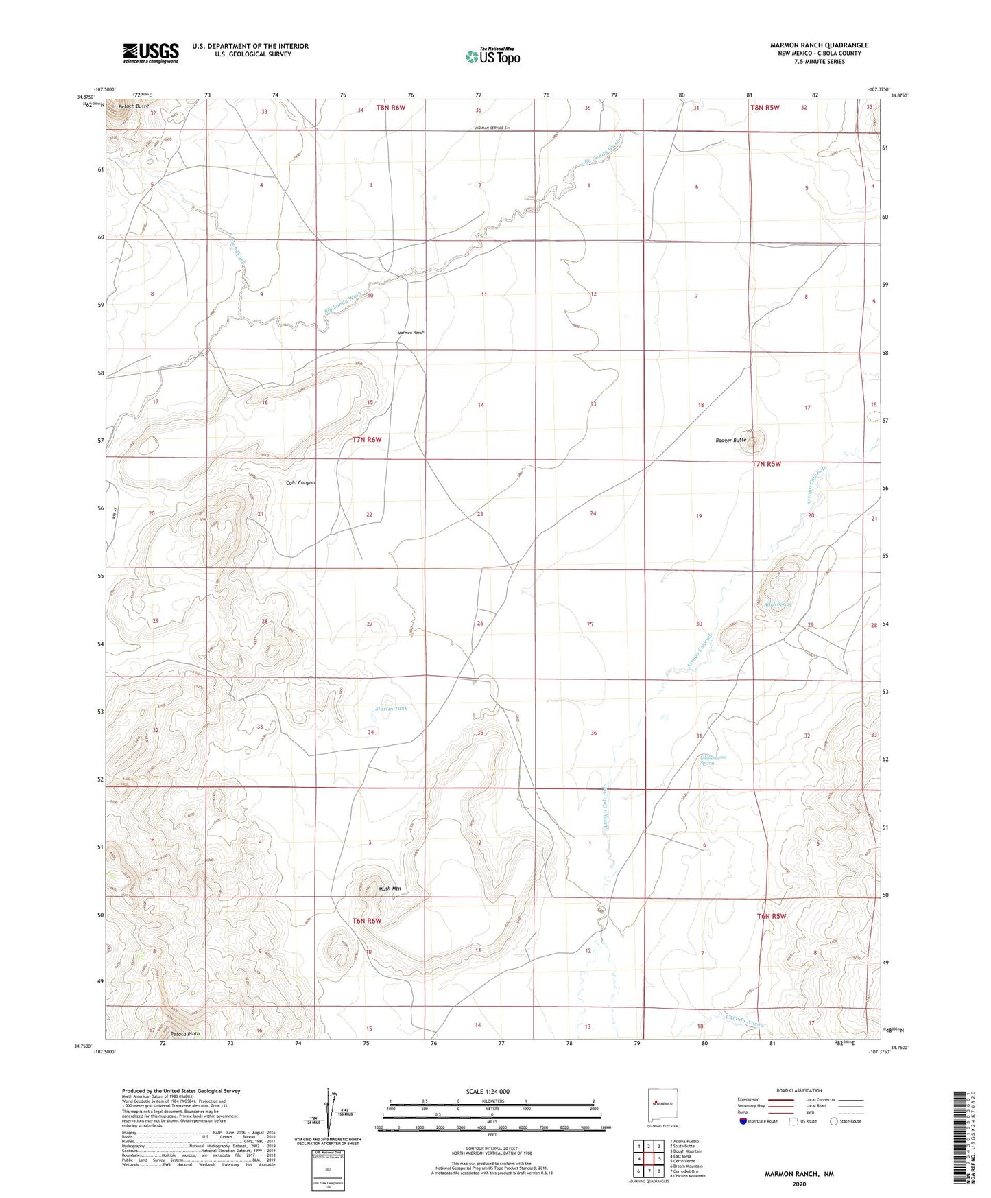
2023 topographic map quadrangle Marmon Ranch in the state of New Mexico. Scale: 1:24000. Based on the newly updated USGS 7.5' US Topo map series, this map is in the following counties: Cibola. The map contains contour data, water features, and other items you are used to seeing on USGS maps, but also has updated roads and other features. This is the next generation of topographic maps. Printed on high-quality waterproof paper with UV fade-resistant inks.
Quads adjacent to this one:
West: East Mesa
Northwest: Acoma Pueblo
North: South Butte
Northeast: Dough Mountain
East: Cerro Verde
Southeast: Chicken Mountain
South: Cerro Del Oro
Southwest: Broom Mountain
This map covers the same area as the classic USGS quad with code o34107g4.
Contains the following named places: Albert HMS Water Well, Alberts Homestead, Alkali Spring, Badger Butte, Badger Dam, Badger Detention Dam, Badger Water Well, Badger Windmill, Canada Ancha, Cold Canyon, Crane Place, Eddlwmann Spring, Gunn Windmill, Hiyi Water Well, Hiyi Windmill, Lucy W Detention Dam, Marmon HQ Water Well, Marmon Ranch, Martin Tank, Middle Tsid-weza, Mush Mountain, Petoch Butte, Petoch Wash, Romero Place, Romero PLC Water Well, Seis-wilson Detention Dam Number 1, Seis-wilson Detention Dam Number 2, Seis-wilson Dike and Pit Number 2, Thompsom Windmill