MyTopo
Chuska Lake New Mexico US Topo Map
Couldn't load pickup availability
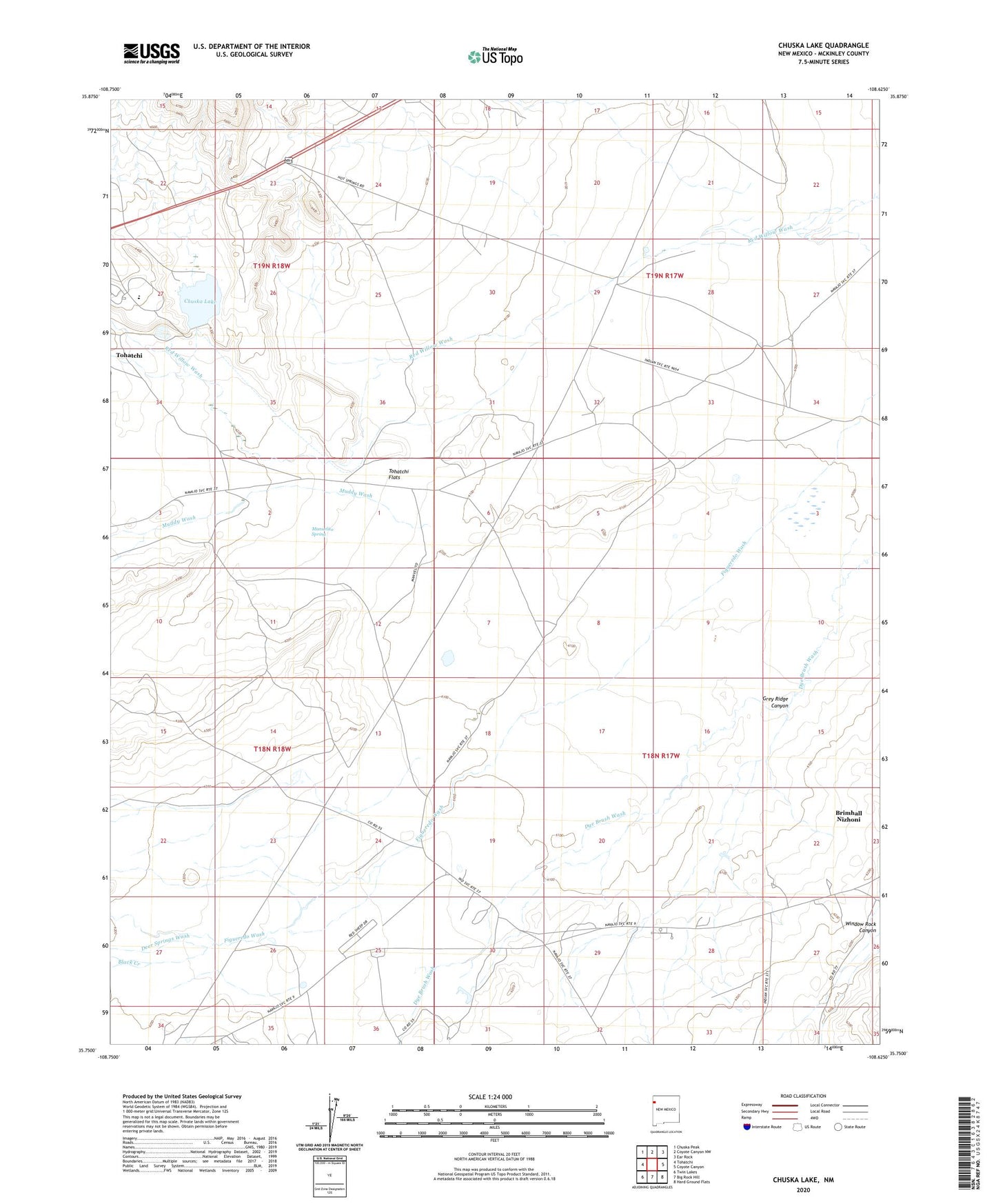
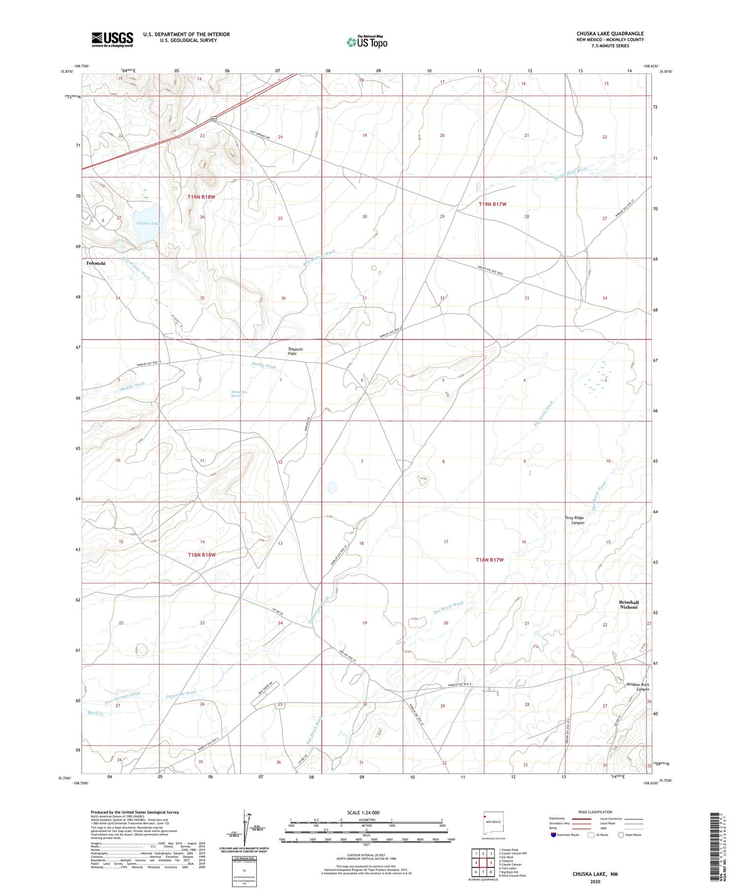
2020 topographic map quadrangle Chuska Lake in the state of New Mexico. Scale: 1:24000. Based on the newly updated USGS 7.5' US Topo map series, this map is in the following counties: McKinley. The map contains contour data, water features, and other items you are used to seeing on USGS maps, but also has updated roads and other features. This is the next generation of topographic maps. Printed on high-quality waterproof paper with UV fade-resistant inks.
Quads adjacent to this one:
West: Tohatchi
Northwest: Chuska Peak
North: Coyote Canyon NW
Northeast: Ear Rock
East: Coyote Canyon
Southeast: Hard Ground Flats
South: Big Rock Hill
Southwest: Twin Lakes
Contains the following named places: 14K-312 Water Well, 14M-1 Water Well, 14T-585 Water Well, 1-8-18N-17 Water Well, Black Creek, Brimhall Nizhoni, Brimhall Nizhoni Census Designated Place, Chuska Dam, Chuska Lake, Chuska School, Deer Springs Wash, Grey Ridge Canyon, Manuelito Spring, Muddy Wash, Navajo Nation Division, Pure Oil Test Well Navajo Number 1, Pure Test 1 Water Well, Tohatchi Flats, Tohatchih Pit