MyTopo
Tohatchi New Mexico US Topo Map
Couldn't load pickup availability
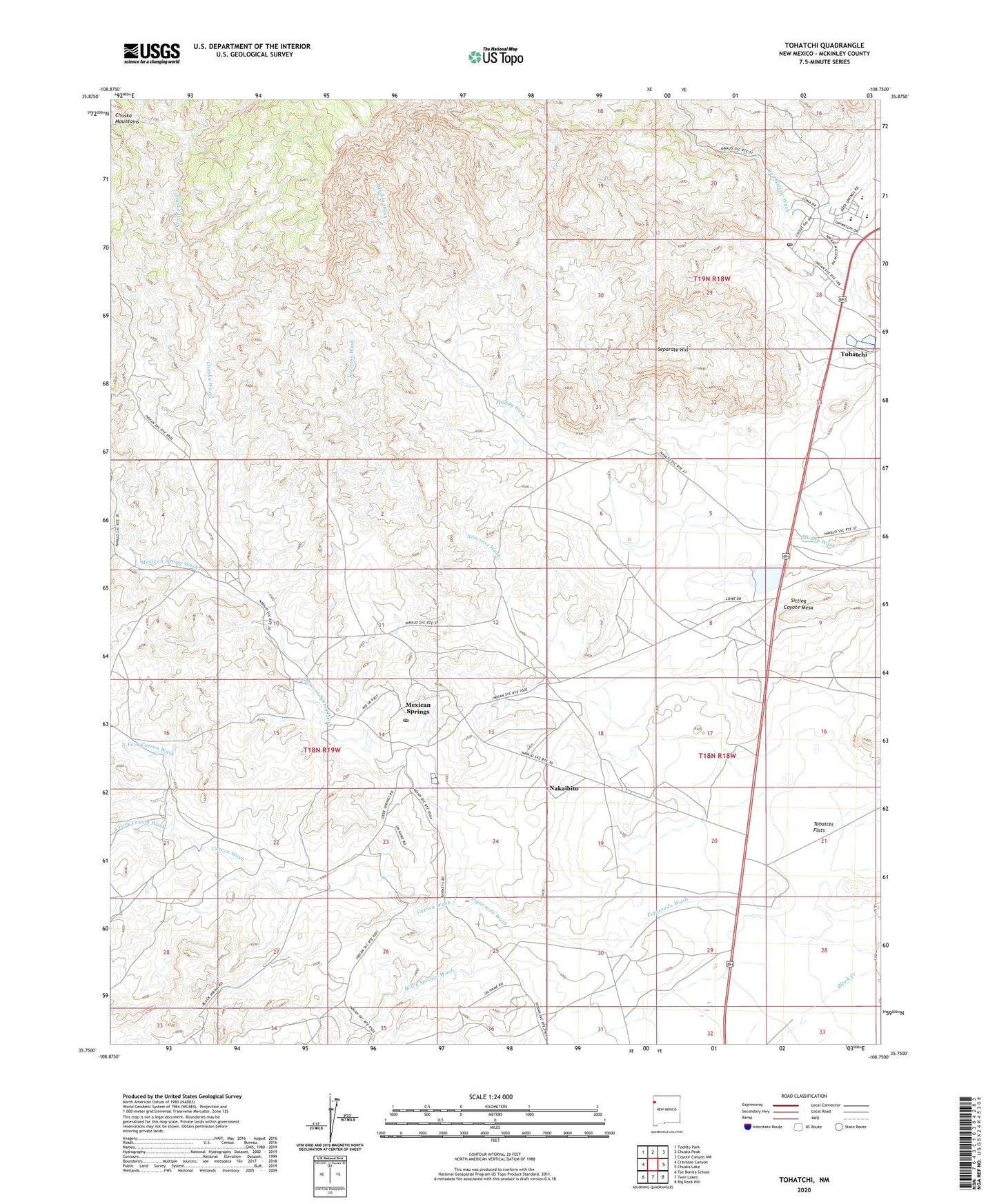
2023 topographic map quadrangle Tohatchi in the state of New Mexico. Scale: 1:24000. Based on the newly updated USGS 7.5' US Topo map series, this map is in the following counties: McKinley. The map contains contour data, water features, and other items you are used to seeing on USGS maps, but also has updated roads and other features. This is the next generation of topographic maps. Printed on high-quality waterproof paper with UV fade-resistant inks.
Quads adjacent to this one:
West: Crevasse Canyon
Northwest: Todilto Park
North: Chuska Peak
Northeast: Coyote Canyon NW
East: Chuska Lake
Southeast: Big Rock Hill
South: Twin Lakes
Southwest: Tse Bonita School
This map covers the same area as the classic USGS quad with code o35108g7.
Contains the following named places: 14K-301 Water Well, 14K-301A Water Well, 14K-315 Water Well, 14N-35 Water Well, 14T-502 Water Well, 14T-514 Water Well, Black Springs Wash, Boarding School Water Well, Catron Wash, Chuska Boarding School, Chuska Wash, Mexican Spring Wash, Mexican Springs, Mexican Springs Post Office, Mexican Springs Weather Station, Nakaibito, Nakaibito Census Designated Place, Navajo Indian Reservation Historical Marker, Norcross Wash, North Fork Catron Wash, Owls Nest Wash, Saint Mary Church, Separate Hill, Sitting Coyote Mesa, South Fork Catron Wash, Tohatchi, Tohatchi Census Designated Place, Tohatchi Elementary School, Tohatchi Emergency Medical Services, Tohatchi High School, Tohatchi Middle School, Tohatchi Post Office, Tohatchi Special Education and Training Center, Tohatchi Village Site, Tohatchi Weather Station, Whiskey Lake T20n Dam