MyTopo
Conejo Creek West New Mexico US Topo Map
Couldn't load pickup availability
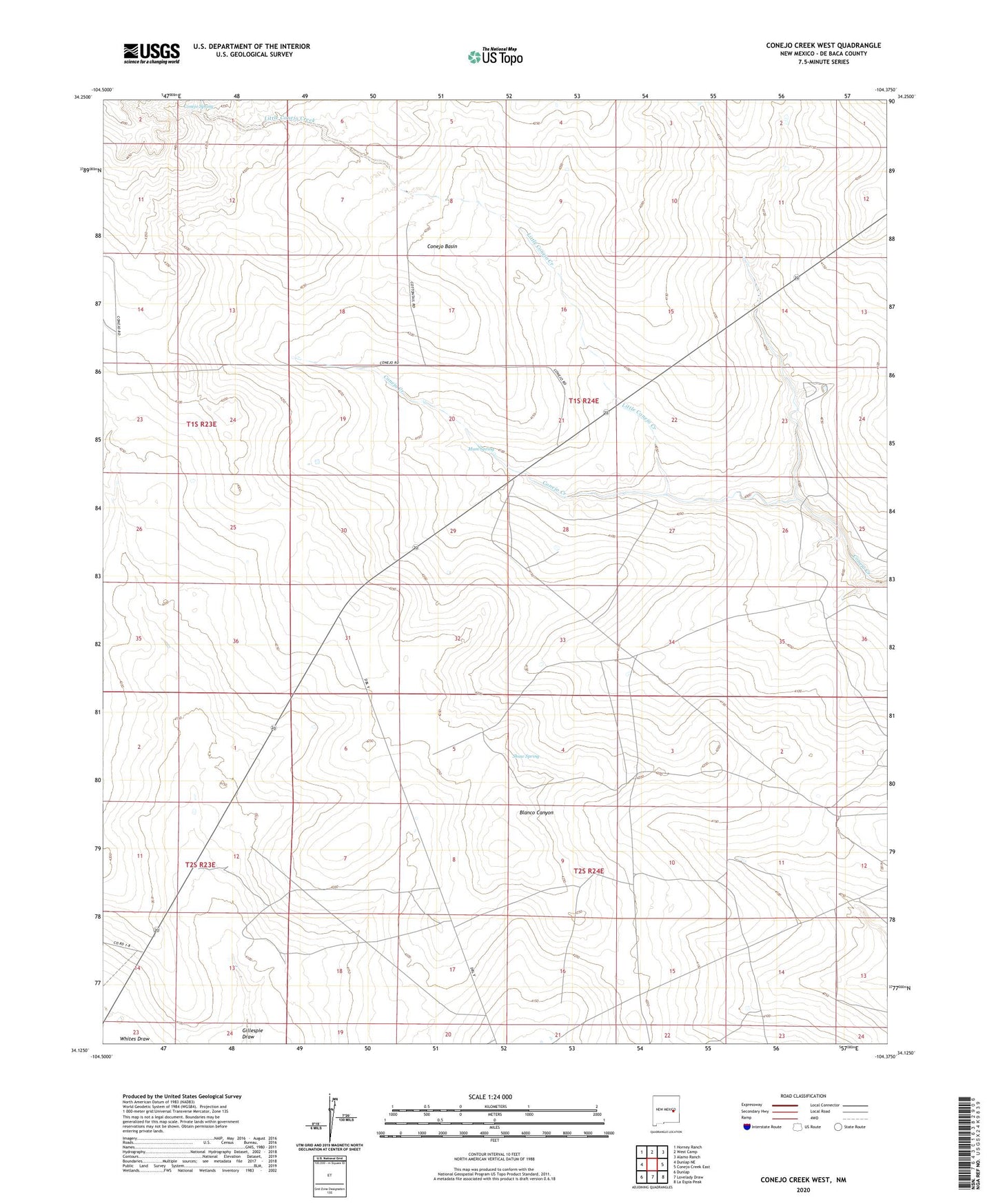
2020 topographic map quadrangle Conejo Creek West in the state of New Mexico. Scale: 1:24000. Based on the newly updated USGS 7.5' US Topo map series, this map is in the following counties: De Baca. The map contains contour data, water features, and other items you are used to seeing on USGS maps, but also has updated roads and other features. This is the next generation of topographic maps. Printed on high-quality waterproof paper with UV fade-resistant inks.
Quads adjacent to this one:
West: Dunlap NE
Northwest: Horney Ranch
North: West Camp
Northeast: Alamo Ranch
East: Conejo Creek East
Southeast: La Espia Peak
South: Lovelady Draw
Southwest: Dunlap
Contains the following named places: 10005 Water Well, 10006 Water Well, 10007 Water Well, 10008 Water Well, 10009 Water Well, 10013 Water Well, 10014 Water Well, 10017 Water Well, 10018 Water Well, 10765 Water Well, 10766 Water Well, 10776 Water Well, 10777 Water Well, 10779 Water Well, 10848 Water Well, 10849 Water Well, Brannon Windmill, Conejo Basin, Conejo Spring, Deep Windmill, Little Conejo Creek, Mum Spring, North Windmills, Reed Windmill, School Section Windmill, Shaw Spring, Stevens Ranch, Trigg Ranch, West Windmill