MyTopo
Crow Point New Mexico US Topo Map
Couldn't load pickup availability
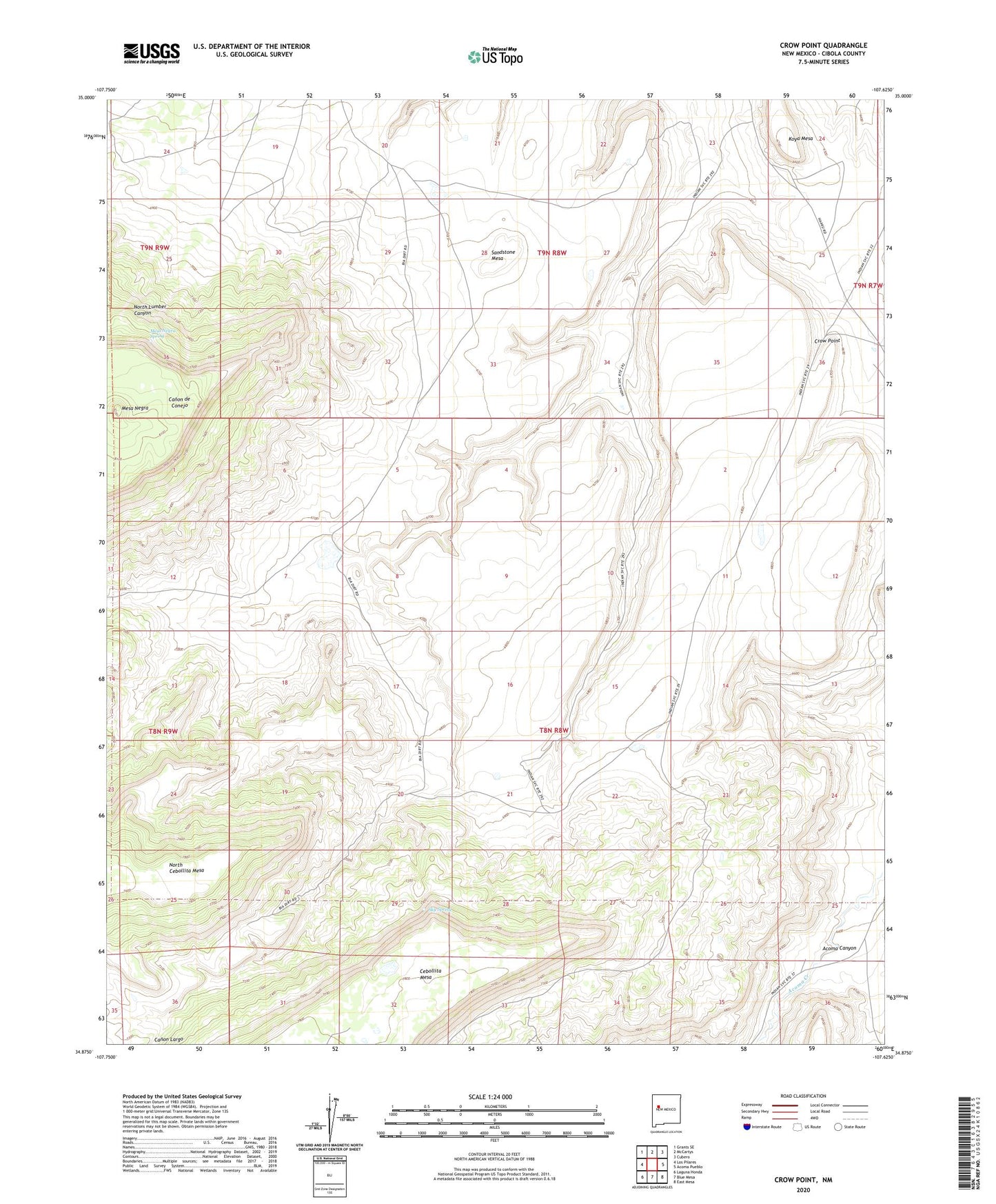
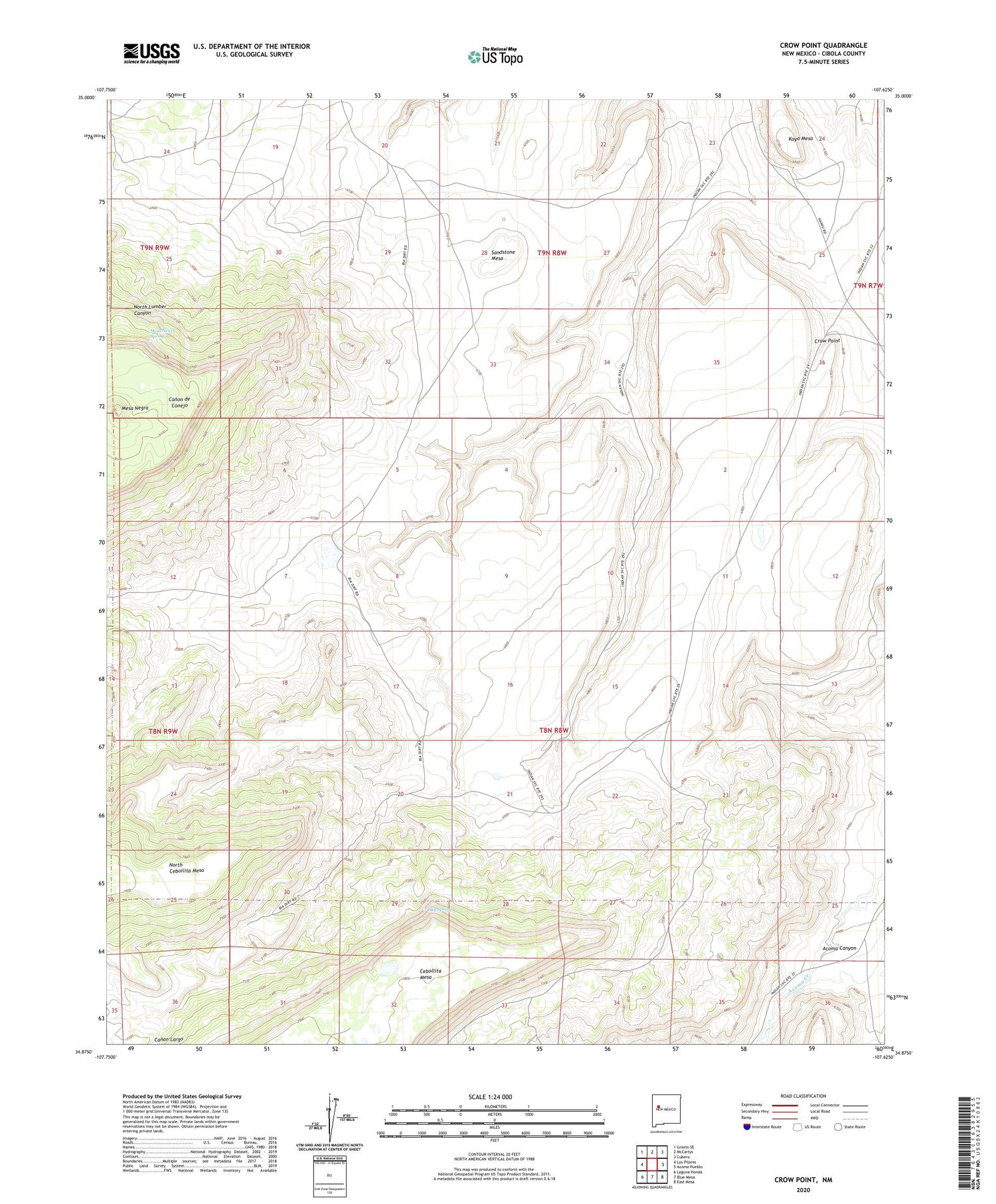
2020 topographic map quadrangle Crow Point in the state of New Mexico. Scale: 1:24000. Based on the newly updated USGS 7.5' US Topo map series, this map is in the following counties: Cibola. The map contains contour data, water features, and other items you are used to seeing on USGS maps, but also has updated roads and other features. This is the next generation of topographic maps. Printed on high-quality waterproof paper with UV fade-resistant inks.
Quads adjacent to this one:
West: Los Pilares
Northwest: Grants SE
North: McCartys
Northeast: Cubero
East: Acoma Pueblo
Southeast: East Mesa
South: Blue Mesa
Southwest: Laguna Honda
Contains the following named places: Acoma Canyon, Acoma Pueblo Grant, Crow Point, Crow Point Dam, Koya Mesa, Mesa Negra, Mesa Negra Spring, Sand City Water Well, Sandstone Mesa, Sky Spring