MyTopo
Cruzville New Mexico US Topo Map
Couldn't load pickup availability
Also explore the Cruzville Forest Service Topo of this same quad for updated USFS data
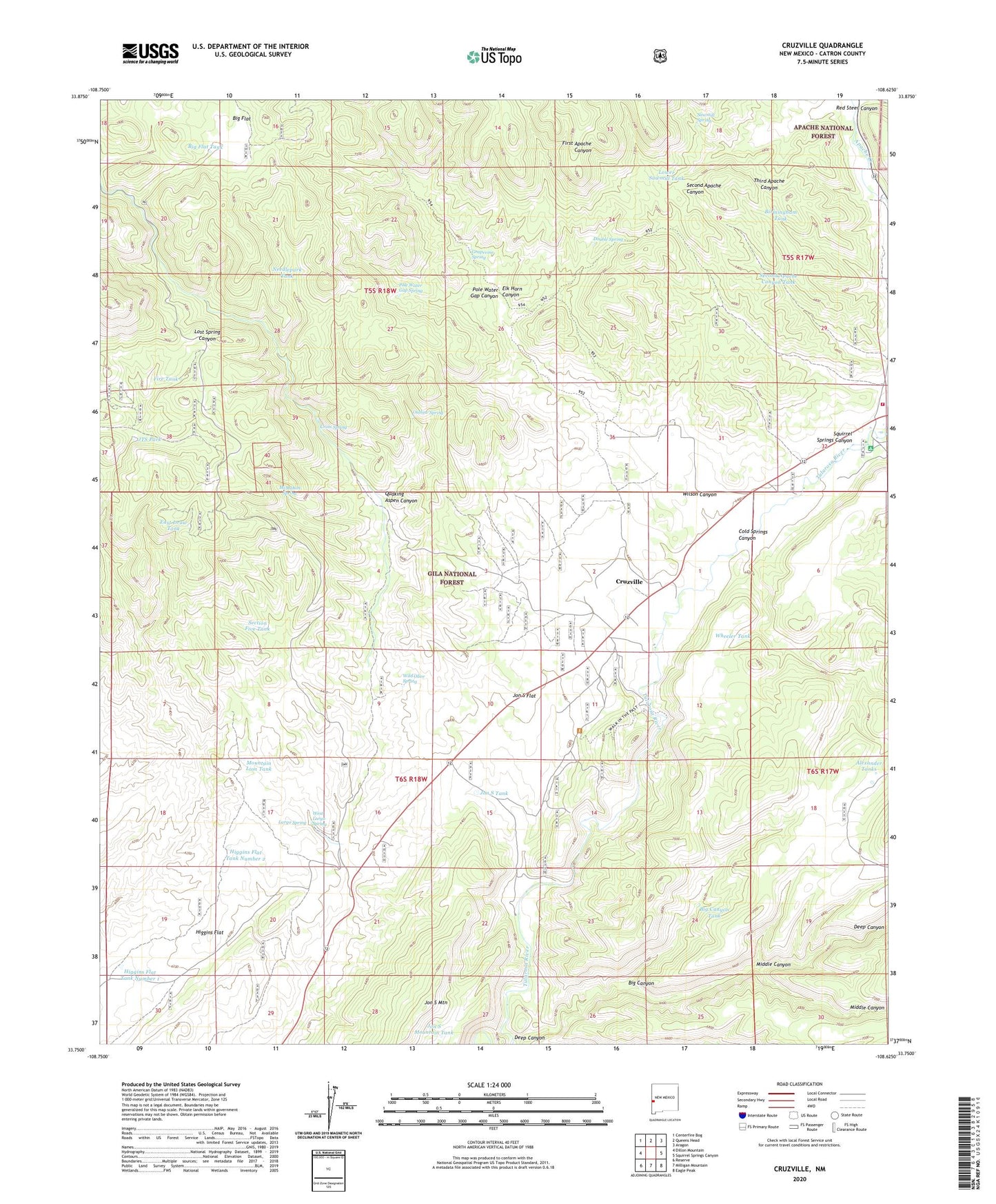
2023 topographic map quadrangle Cruzville in the state of New Mexico. Scale: 1:24000. Based on the newly updated USGS 7.5' US Topo map series, this map is in the following counties: Catron. The map contains contour data, water features, and other items you are used to seeing on USGS maps, but also has updated roads and other features. This is the next generation of topographic maps. Printed on high-quality waterproof paper with UV fade-resistant inks.
Quads adjacent to this one:
West: Dillon Mountain
Northwest: Centerfire Bog
North: Queens Head
Northeast: Aragon
East: Squirrel Springs Canyon
Southeast: Eagle Peak
South: Milligan Mountain
Southwest: Reserve
This map covers the same area as the classic USGS quad with code o33108g6.
Contains the following named places: Alexander Tanks, Apache Creek, Apache Creek Cemetery, Apache Creek Post Office, Big Canyon, Big Canyon Tank, Big Flat, Big Flat Tank, Birmingham Tank, Cold Springs Canyon, Cross Spring, Cross V Ranch, Cruzville, Cruzville - Apache Creek / Aragon Fire and Rescue - Apache Creek, Cruzville Census Designated Place, Deep Canyon, Double Spring, East Draw, East Draw Tank, Elk Horn Canyon, Fire Tank, First Apache Canyon, First Apache Canyon Well, Grapevine Spring, GSF-2336 Water Well, Hell Hole, Higgins Flat, Higgins Flat Tank Number 1, Higgins Flat Tank Number 2, Jon S Flat, Jon S Mountain, Jon S Mountain Tank, Jon S Tank, JTS Park, Largo Spring, Lower Sawmill Tank, McMahon Spring, Middle Canyon, Mountain Lion Tank, Needlepark Tank, Outlaw Spring, Pole Water Gap Canyon, Pole Water Gap Spring, Quaking Aspen Canyon, Red Steer Canyon, Rockheader Tank, Sawmill Spring, Sawmill Well, Second Apache Canyon, Second Apache Canyon Tank, Section Five Tank, Third Apache Canyon, West Largo Spring, Wheeler Tank, Wild Olive Spring, Wilson Canyon