MyTopo
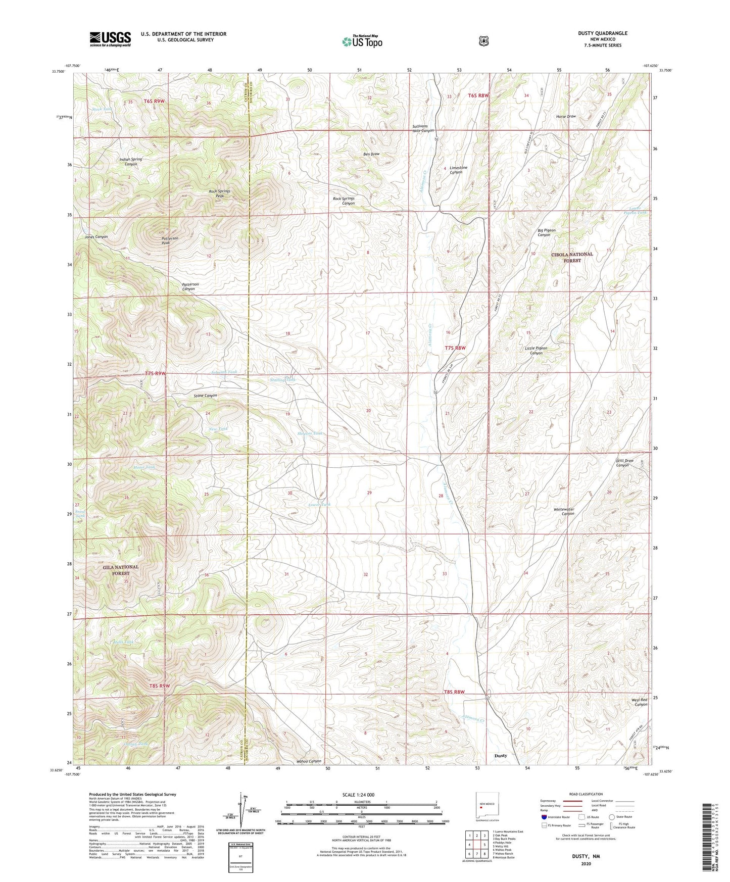
Dusty New Mexico US Topo Map
Couldn't load pickup availability
Also explore the Dusty Forest Service Topo of this same quad for updated USFS data
2023 topographic map quadrangle Dusty in the state of New Mexico. Scale: 1:24000. Based on the newly updated USGS 7.5' US Topo map series, this map is in the following counties: Socorro, Catron. The map contains contour data, water features, and other items you are used to seeing on USGS maps, but also has updated roads and other features. This is the next generation of topographic maps. Printed on high-quality waterproof paper with UV fade-resistant inks.
Quads adjacent to this one:
West: Paddys Hole
Northwest: Luera Mountains East
North: Oak Peak
Northeast: Bay Buck Peaks
East: Welty Hill
Southeast: Montoya Butte
South: Wahoo Ranch
Southwest: Wahoo Peak
This map covers the same area as the classic USGS quad with code o33107f6.
Contains the following named places: 10016 Water Well, 10017 Water Well, 10018 Water Well, Ben Draw, Big Pigeon Canyon, Drill Draw Canyon, Dusty, Hells Tank, Henderson Ranch, Home Tank, Horse Draw, Johnson Tank, Jones Canyon, Limestone Canyon, Little Pigeon Canyon, Lower Pigeon Tank, Lower Tank, McCracken Ranch, New Tank, Outlaw Tank, Patterson Canyon, Patterson Peak, Pigeon Cabin, Pigeon Windmill, Rock Springs Canyon, Rock Springs Peak, Shreves Tank, Snow Tank, Spring Tank, Stalling Tank, Stock Tank, Stone Canyon, Tucker Ranch, Whitewater Canyon