MyTopo
Encino Draw New Mexico US Topo Map
Couldn't load pickup availability
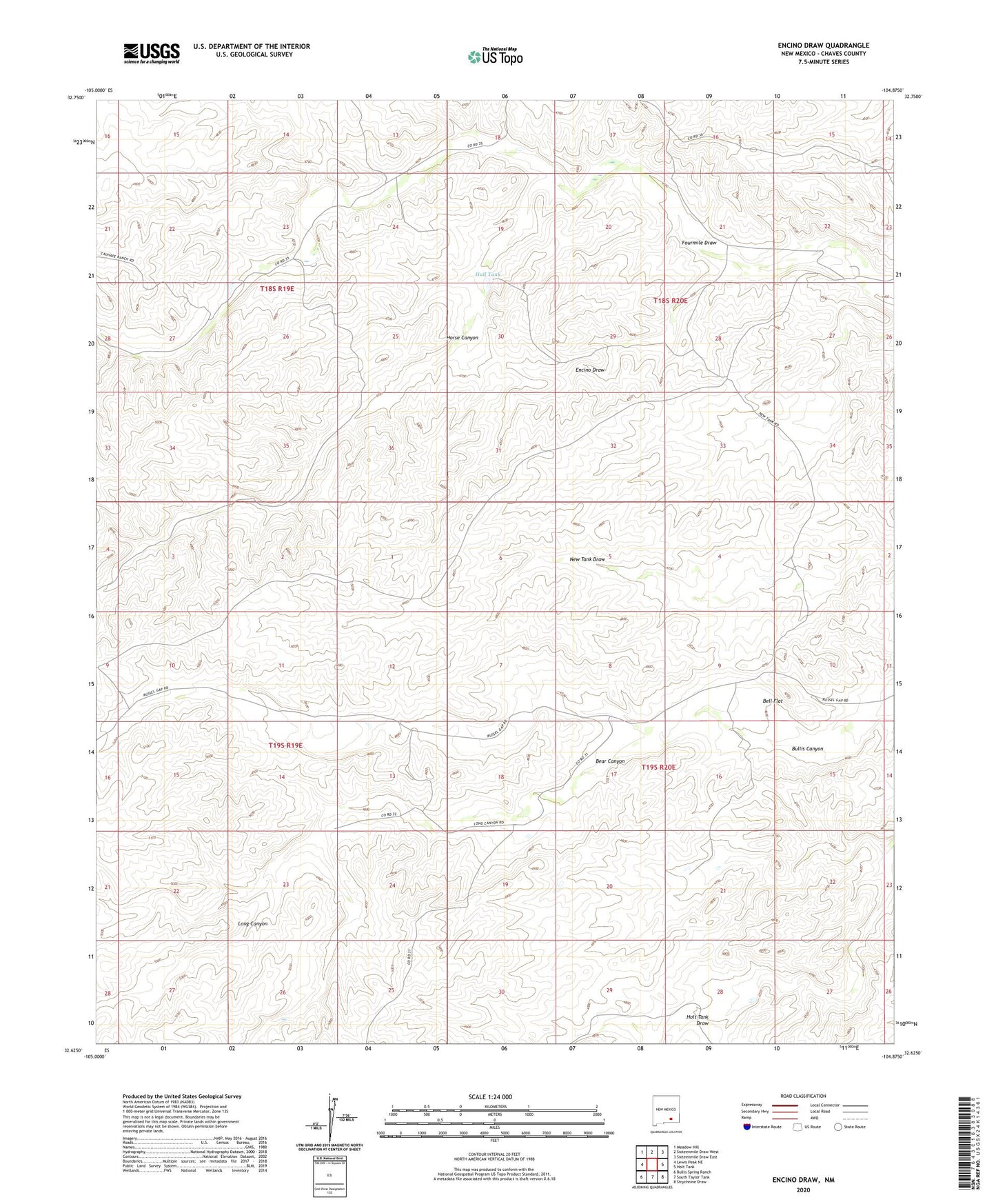
2023 topographic map quadrangle Encino Draw in the state of New Mexico. Scale: 1:24000. Based on the newly updated USGS 7.5' US Topo map series, this map is in the following counties: Chaves. The map contains contour data, water features, and other items you are used to seeing on USGS maps, but also has updated roads and other features. This is the next generation of topographic maps. Printed on high-quality waterproof paper with UV fade-resistant inks.
Quads adjacent to this one:
West: Lewis Peak NE
Northwest: Meadow Hill
North: Sixteenmile Draw West
Northeast: Sixteenmile Draw East
East: Holt Tank
Southeast: Strychnine Draw
South: South Taylor Tank
Southwest: Bullis Spring Ranch
This map covers the same area as the classic USGS quad with code o32104f8.
Contains the following named places: Bear Canyon, Bell Flat, Encino Draw, Hall Tank, Horse Canyon, Long Canyon, ZIP Code: 88250