MyTopo
Farmington North New Mexico US Topo Map
Couldn't load pickup availability
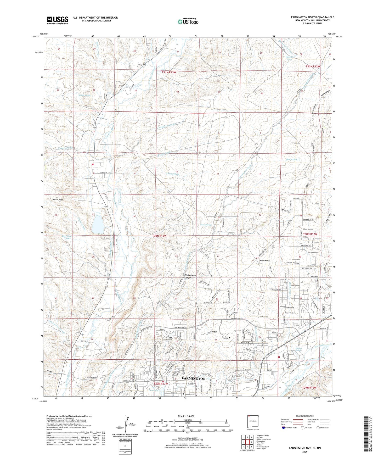
2020 topographic map quadrangle Farmington North in the state of New Mexico. Scale: 1:24000. Based on the newly updated USGS 7.5' US Topo map series, this map is in the following counties: San Juan. The map contains contour data, water features, and other items you are used to seeing on USGS maps, but also has updated roads and other features. This is the next generation of topographic maps. Printed on high-quality waterproof paper with UV fade-resistant inks.
Quads adjacent to this one:
West: Youngs Lake
Northwest: Purgatory Canyon
North: La Plata
Northeast: Adobe Downs Ranch
East: Flora Vista
Southeast: Horn Canyon
South: Farmington South
Southwest: Kirtland
Contains the following named places: 30th Street Dam, 87402, Allen Arroyo, Barker Arroyo, Basin Tank, Bethany Church, Black Diamond Mine, Brown Spring, Chokecherry Canyon, City of Farmington, City Reser City of Farmington Dam, City Reservoir, Connor Arroyo, Cottonwood Arroyo, Country Club School, Coyne Arroyo, Dobey Medina Mine, E Evans Spring, East King Tank, East Side School, Farmington Country Club, Farmington Fire Department - Station 5, Farmington Fire Department Station 2, Grace Church, Gypsum Tank, Halford Independent Ditch, Hermosa Junior High School, Hood Arroyo, Hood Mesa, Jackson Ditch, Jackson Lake, Jackson Lake Dam, Knight Spring, Kutz Pit, La Plata Highway Historic Site, Ladera del Norte School, Lower San Juan Pit, Mesa Verde School, Morris Historic Site, North Twin Wash, Northeast School, Old Indian Racetrack Historic Site, Pickering Arroyo, Pickering Ditch, San Juan College, San Juan County Fire District 4 - La Plata Station 2, San Juan Pit, South Twin Wash, Star Ditch, The Badlands, Top of Sullivan Hill Cemetery