MyTopo
Flying H New Mexico US Topo Map
Couldn't load pickup availability
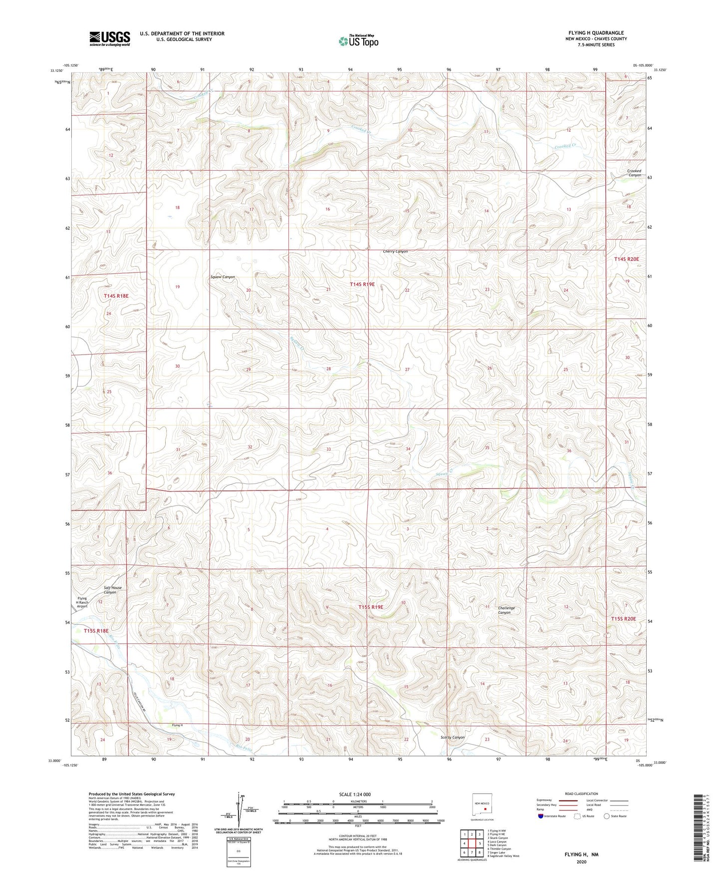
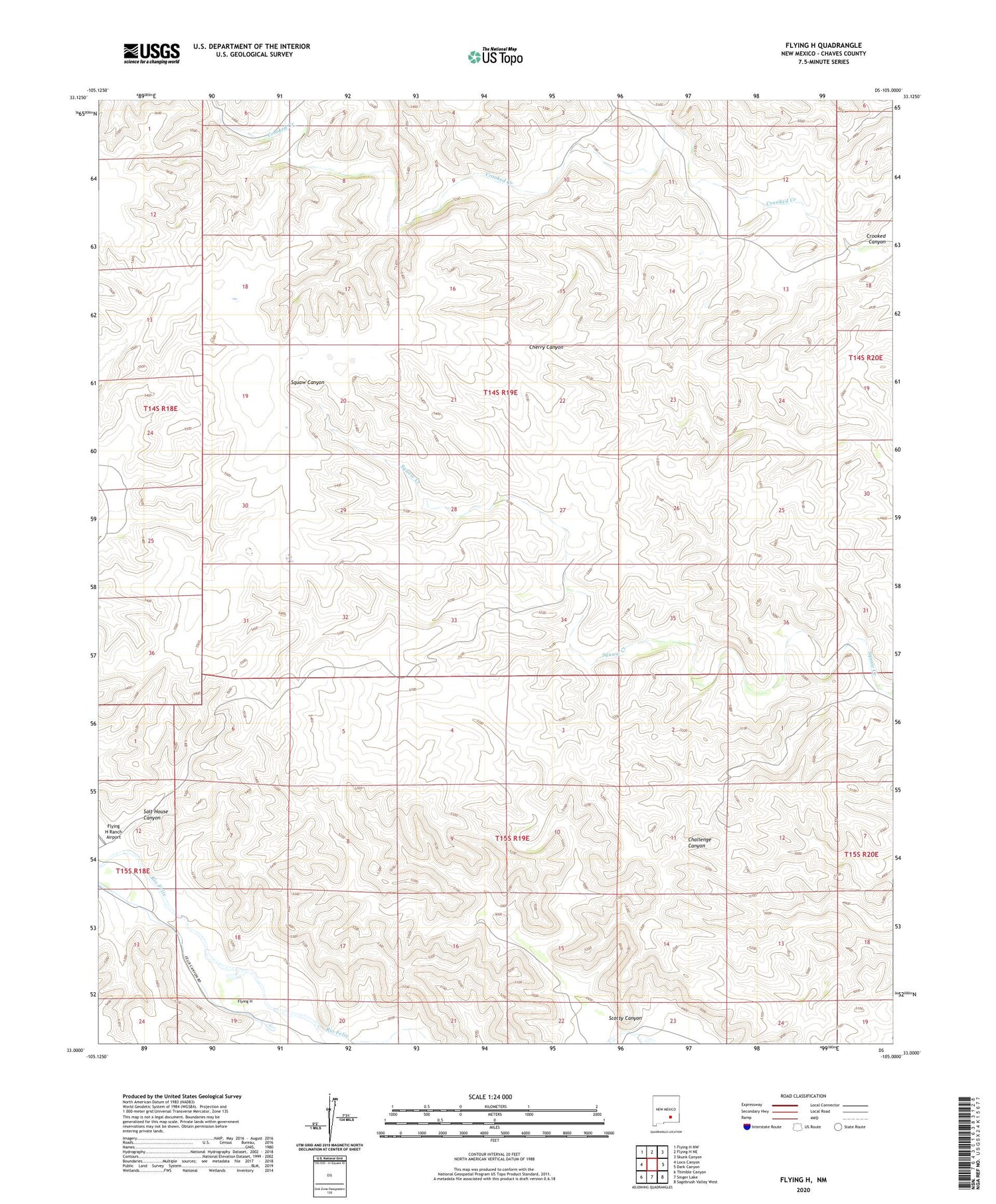
2020 topographic map quadrangle Flying H in the state of New Mexico. Scale: 1:24000. Based on the newly updated USGS 7.5' US Topo map series, this map is in the following counties: Chaves. The map contains contour data, water features, and other items you are used to seeing on USGS maps, but also has updated roads and other features. This is the next generation of topographic maps. Printed on high-quality waterproof paper with UV fade-resistant inks.
Quads adjacent to this one:
West: Loco Canyon
Northwest: Flying H NW
North: Flying H NE
Northeast: Skunk Canyon
East: Dark Canyon
Southeast: Sagebrush Valley West
South: Singer Lake
Southwest: Thimble Canyon
Contains the following named places: Burnt Windmill, Dry Pasture, East Red Pasture, Flying H, Flying H Post Office, Flying H Ranch Airport, Gnat Windmill, Header Windmill, Indian Pasture, Indian Well, Red House, Salt House Canyon, Scotty Canyon, Scotty Windmill, Shanks Windmill, West Red Pasture, West Windmill