MyTopo
Flying H NW New Mexico US Topo Map
Couldn't load pickup availability
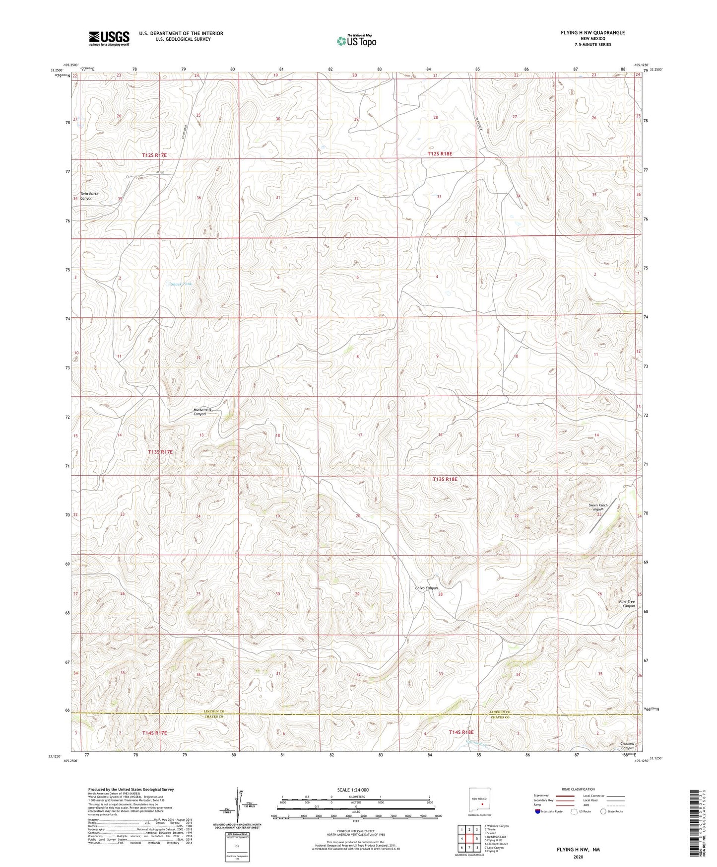
2023 topographic map quadrangle Flying H NW in the state of New Mexico. Scale: 1:24000. Based on the newly updated USGS 7.5' US Topo map series, this map is in the following counties: Lincoln, Chaves. The map contains contour data, water features, and other items you are used to seeing on USGS maps, but also has updated roads and other features. This is the next generation of topographic maps. Printed on high-quality waterproof paper with UV fade-resistant inks.
Quads adjacent to this one:
West: Deadman Lake
Northwest: Wahalee Canyon
North: Tinnie
Northeast: Sunset
East: Flying H NE
Southeast: Flying H
South: Loco Canyon
Southwest: Clements Ranch
This map covers the same area as the classic USGS quad with code o33105b2.
Contains the following named places: Cedar Hill Well, Chivo Canyon, Chivo Well, Lake Well, McKnight Ranch, Middle Well, Number 2 Well, Number Four Well, Number Six Well, Pine Tree Well, Shack Tank, Skeen Ranch Airport, Slaughter Ranch, Sulphur Well