MyTopo
Singer Lake New Mexico US Topo Map
Couldn't load pickup availability
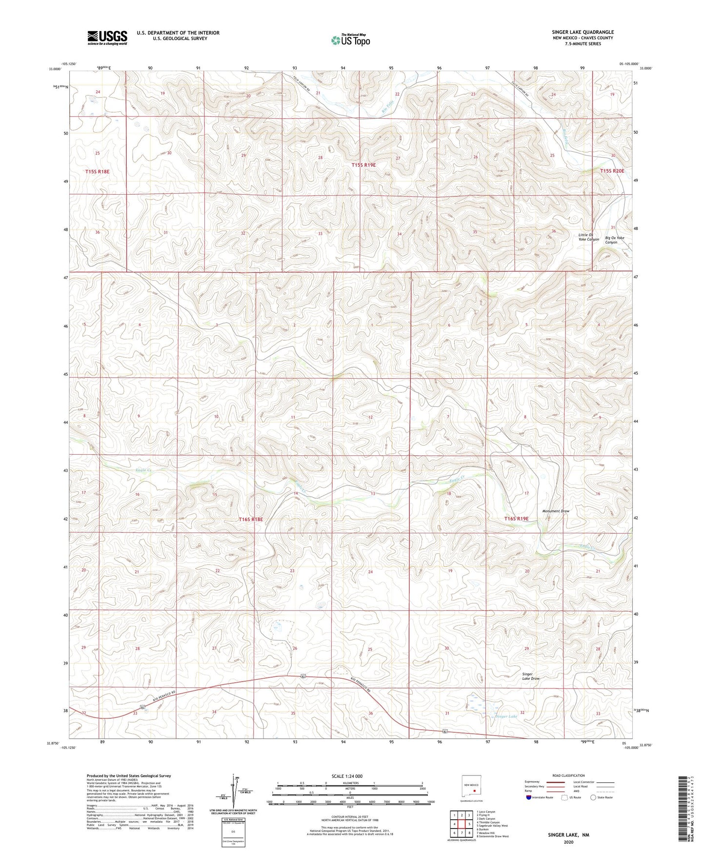
2023 topographic map quadrangle Singer Lake in the state of New Mexico. Scale: 1:24000. Based on the newly updated USGS 7.5' US Topo map series, this map is in the following counties: Chaves. The map contains contour data, water features, and other items you are used to seeing on USGS maps, but also has updated roads and other features. This is the next generation of topographic maps. Printed on high-quality waterproof paper with UV fade-resistant inks.
Quads adjacent to this one:
West: Thimble Canyon
Northwest: Loco Canyon
North: Flying H
Northeast: Dark Canyon
East: Sagebrush Valley West
Southeast: Sixteenmile Draw West
South: Meadow Hill
Southwest: Dunken
This map covers the same area as the classic USGS quad with code o32105h1.
Contains the following named places: 06331 Water Well, Big Ox Yoke Canyon, Cement Well, Felix Windmill, Four Hundred and Seventy, Juniper Windmill, Little Ox Yoke Canyon, Middle Well, Monument Draw, Monument Windmill, Singer Lake, West Singer Windmill