MyTopo
Gage NW New Mexico US Topo Map
Couldn't load pickup availability
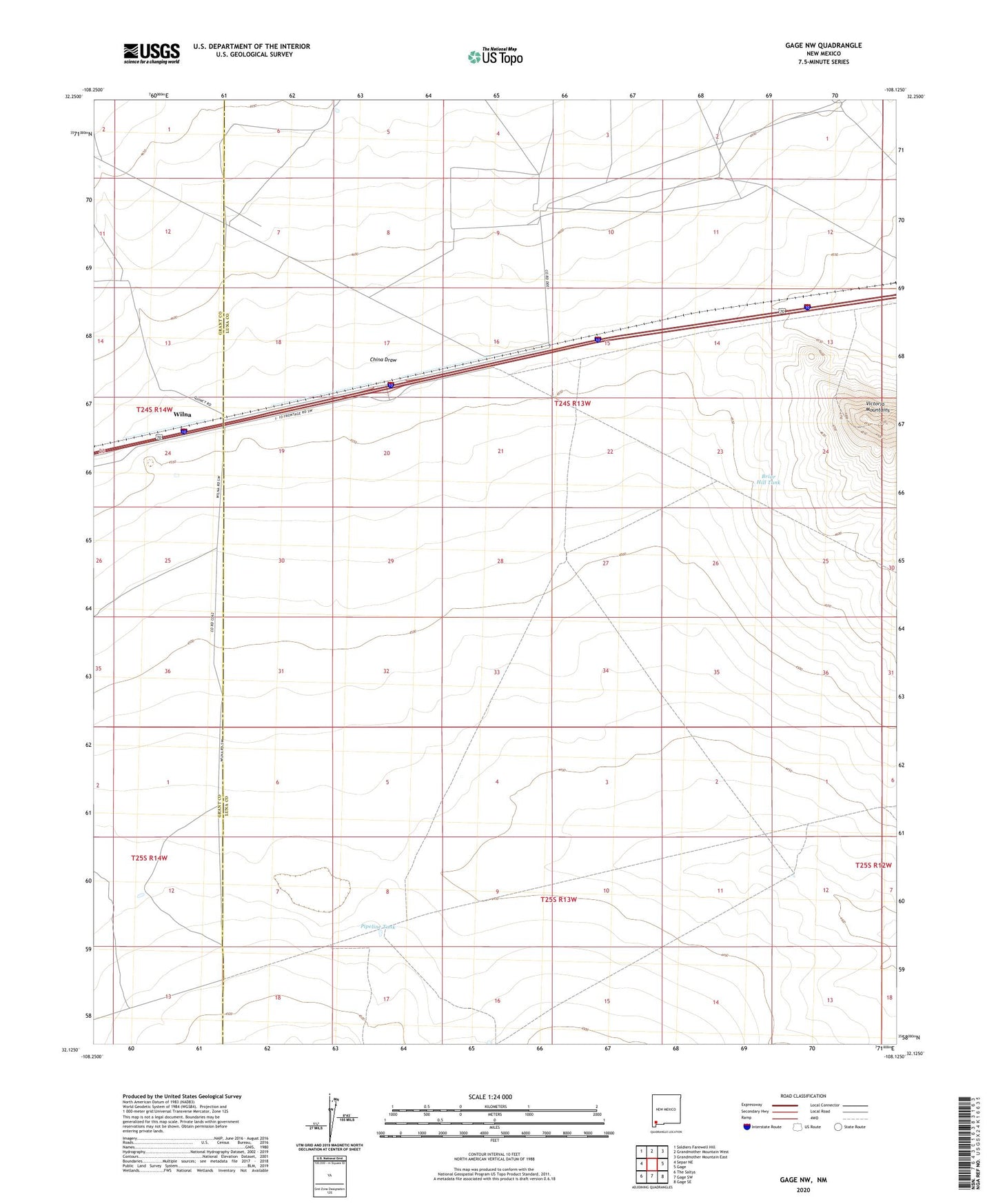
2020 topographic map quadrangle Gage NW in the state of New Mexico. Scale: 1:24000. Based on the newly updated USGS 7.5' US Topo map series, this map is in the following counties: Luna, Grant. The map contains contour data, water features, and other items you are used to seeing on USGS maps, but also has updated roads and other features. This is the next generation of topographic maps. Printed on high-quality waterproof paper with UV fade-resistant inks.
Quads adjacent to this one:
West: Separ NE
Northwest: Soldiers Farewell Hill
North: Grandmother Mountain West
Northeast: Grandmother Mountain East
East: Gage
Southeast: Gage SE
South: Gage SW
Southwest: The Saltys
Contains the following named places: 01429 Water Well, 01430 Water Well, 06040 Water Well, 06080 Water Well, Baker Ranch, Baker Windmill, Big Windmill, Bounds Windmill, Briar Hill Tank, China Draw, Nobinson Windmill, Parker Ranch, Pipeline Tank, Ruia Post Office, Tilch Ranch, West Windmill, Wilna