MyTopo
Gage SW New Mexico US Topo Map
Couldn't load pickup availability
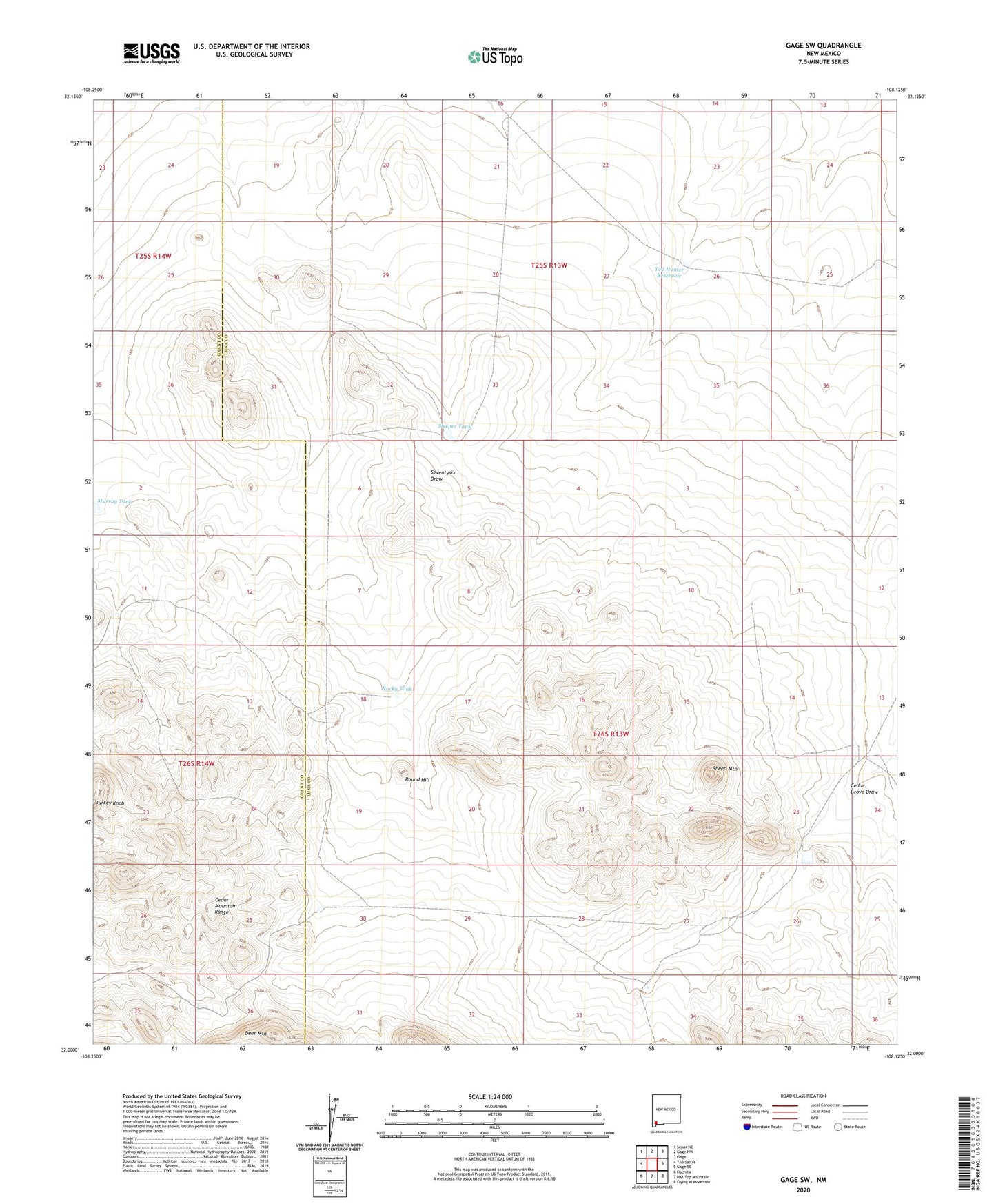
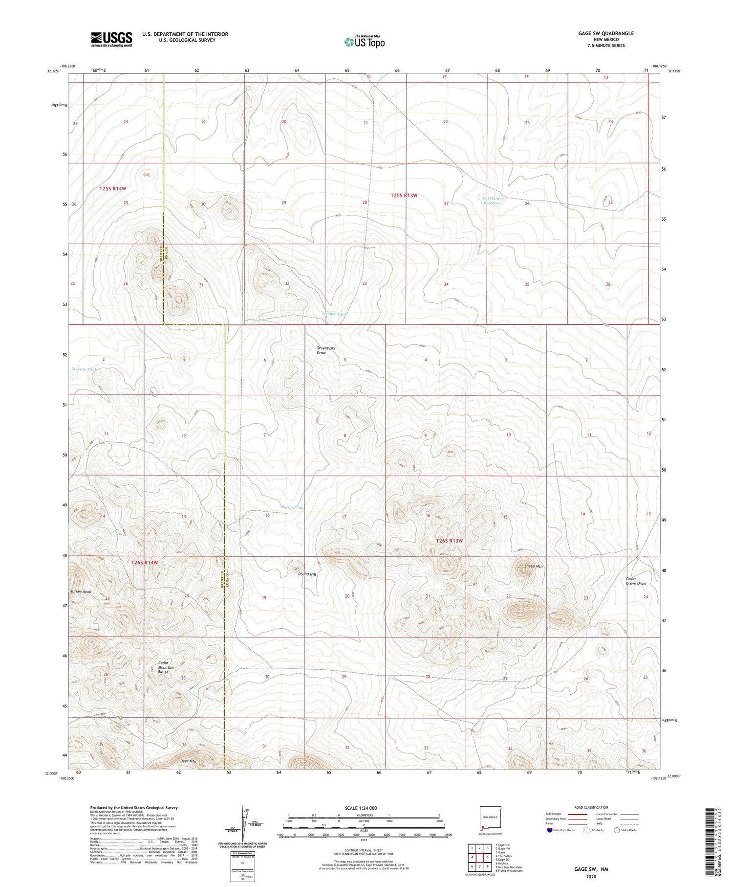
2023 topographic map quadrangle Gage SW in the state of New Mexico. Scale: 1:24000. Based on the newly updated USGS 7.5' US Topo map series, this map is in the following counties: Luna, Grant. The map contains contour data, water features, and other items you are used to seeing on USGS maps, but also has updated roads and other features. This is the next generation of topographic maps. Printed on high-quality waterproof paper with UV fade-resistant inks.
Quads adjacent to this one:
West: The Saltys
Northwest: Separ NE
North: Gage NW
Northeast: Gage
East: Gage SE
Southeast: Flying W Mountain
South: Hat Top Mountain
Southwest: Hachita
This map covers the same area as the classic USGS quad with code o32108a2.
Contains the following named places: 01431 Water Well, 01432 Water Well, 01481 Water Well, 01482 Water Well, 01484 Water Well, 01485 Water Well, Bald Hill Windmill, Cedar Grove, Cedar Grove Draw, Cedar Grove Windmill, Hatcher Windmill, Home Ranch, Honeymoon Windmill, Klondike Hills, Murray Tank, Palomas Draw Number Eight Dam, Palomas Draw Number Nine Dam, Palomas Draw Retention Dam Number 7, Palomas Draw Retention Dam Number 8, Rocky Tank, Round Hill, Sheep Mountain, Sleeper Tank, Tod Hunter Reservoir, Turkey Knob Windmill