MyTopo
Grandmother Mountain West New Mexico US Topo Map
Couldn't load pickup availability
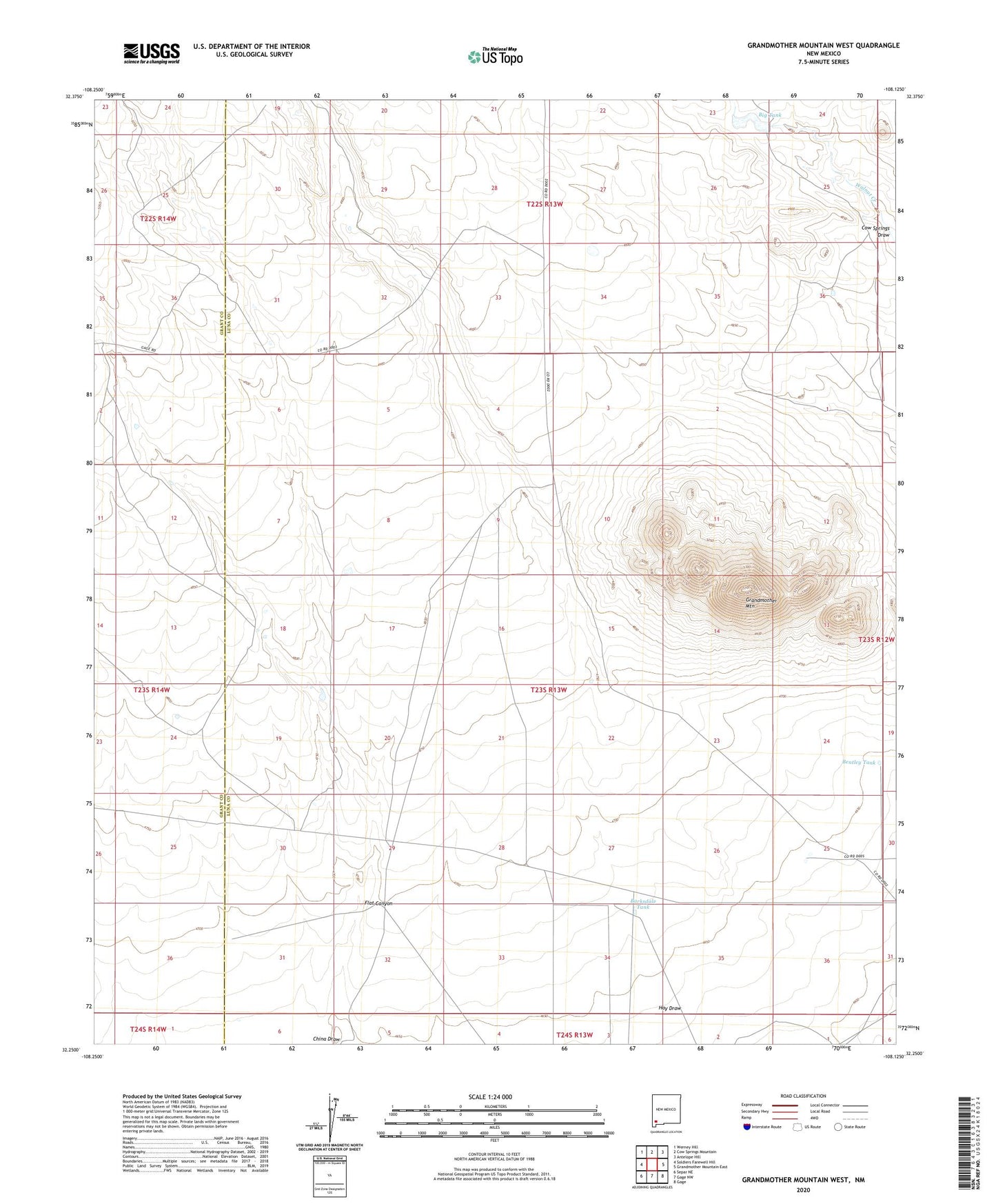
2020 topographic map quadrangle Grandmother Mountain West in the state of New Mexico. Scale: 1:24000. Based on the newly updated USGS 7.5' US Topo map series, this map is in the following counties: Luna, Grant. The map contains contour data, water features, and other items you are used to seeing on USGS maps, but also has updated roads and other features. This is the next generation of topographic maps. Printed on high-quality waterproof paper with UV fade-resistant inks.
Quads adjacent to this one:
West: Soldiers Farewell Hill
Northwest: Werney Hill
North: Cow Springs Mountain
Northeast: Antelope Hill
East: Grandmother Mountain East
Southeast: Gage
South: Gage NW
Southwest: Separ NE
Contains the following named places: 00474 Water Well, 01266 Water Well, 01372 Water Well, 01373 Water Well, 06039 Water Well, Barksdale Tank, Bentley Tank, Big Tank, Flat Canyon, Grandmother Mountain, Grandmother Windmill, Hay Draw, Mission Windmill, North Windmill, Sibley Windmill, Turner Windmill