MyTopo
Gym Peak New Mexico US Topo Map
Couldn't load pickup availability
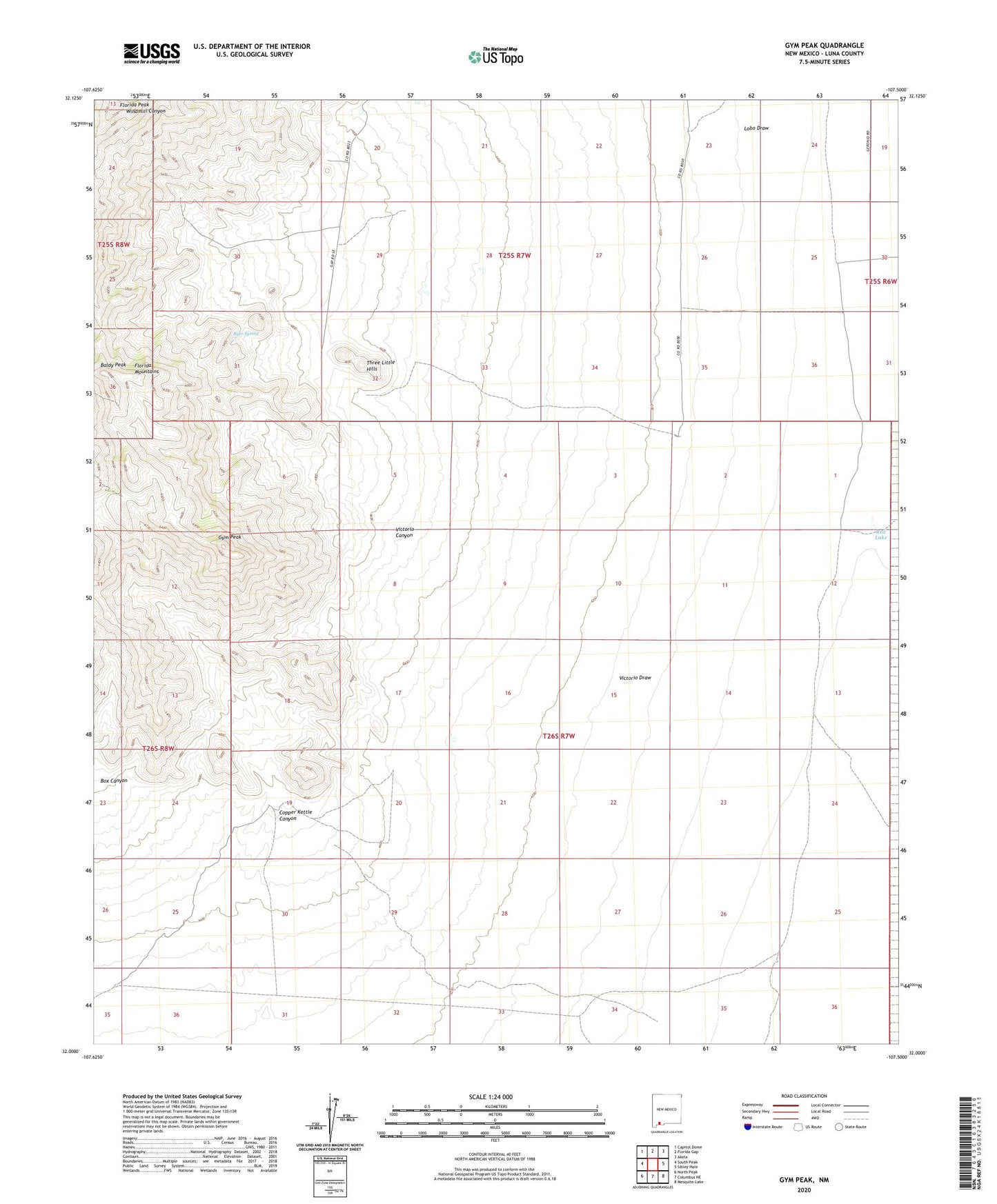
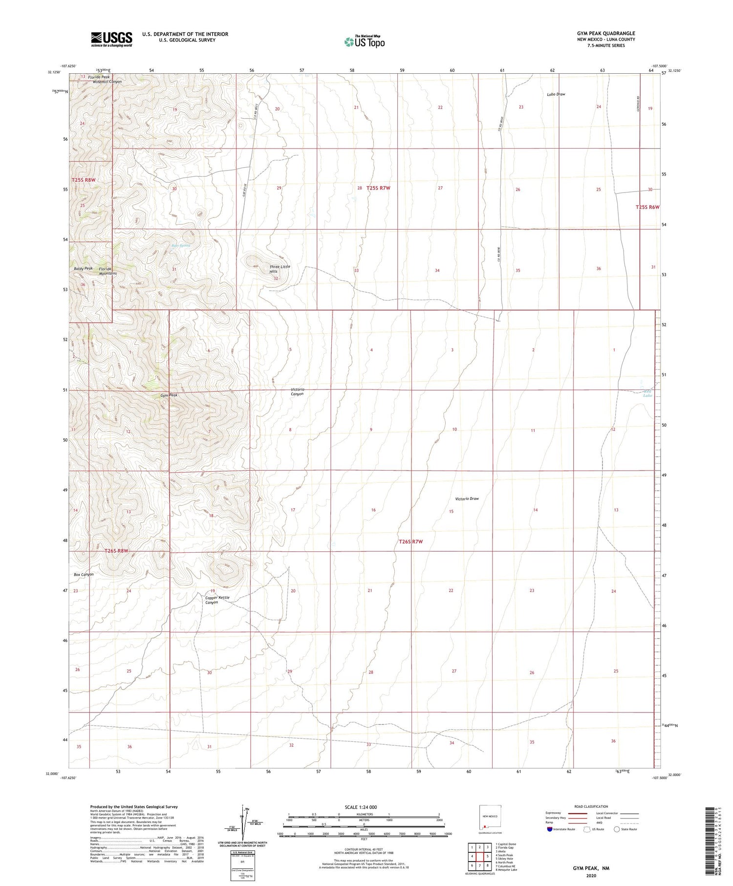
2023 topographic map quadrangle Gym Peak in the state of New Mexico. Scale: 1:24000. Based on the newly updated USGS 7.5' US Topo map series, this map is in the following counties: Luna. The map contains contour data, water features, and other items you are used to seeing on USGS maps, but also has updated roads and other features. This is the next generation of topographic maps. Printed on high-quality waterproof paper with UV fade-resistant inks.
Quads adjacent to this one:
West: South Peak
Northwest: Capitol Dome
North: Florida Gap
Northeast: Akela
East: Sibley Hole
Southeast: Mesquite Lake
South: Columbus NE
Southwest: North Peak
This map covers the same area as the classic USGS quad with code o32107a5.
Contains the following named places: 00648 Water Well, 00650 Water Well, 00652 Water Well, 00800 Water Well, 00802 Water Well, 00803 Water Well, 00805 Water Well, 00809 Water Well, 00810 Water Well, 01434 Water Well, Anniversary Mine, Atir Mine, Baldy Peak, Birchfield Group-Florida Mountains Area, Birchfield Zinc Prospect, Blue Water Well, Box Canyon, Byer Spring, Copper Kettle Canyon, Copper Kettle Well, Copper Ridge Mine, English Well, Florida Mountains, Florida Mountains Wilderness Study Area, Florida Peak, Granada Mines, Gym Peak, Lobo Draw, Lucky John, Mahoney Mines, Pacheco Mine, Priser Mine, Red Lake, San-Tex Mine, Silver Cave Mine, Silver Cave Number 1, Three Little Hills, Victorio Canyon, Victorio Draw, Victorio Well, Waddell Prospect, White Dome Well


