MyTopo
Hunter Mesa New Mexico US Topo Map
Couldn't load pickup availability
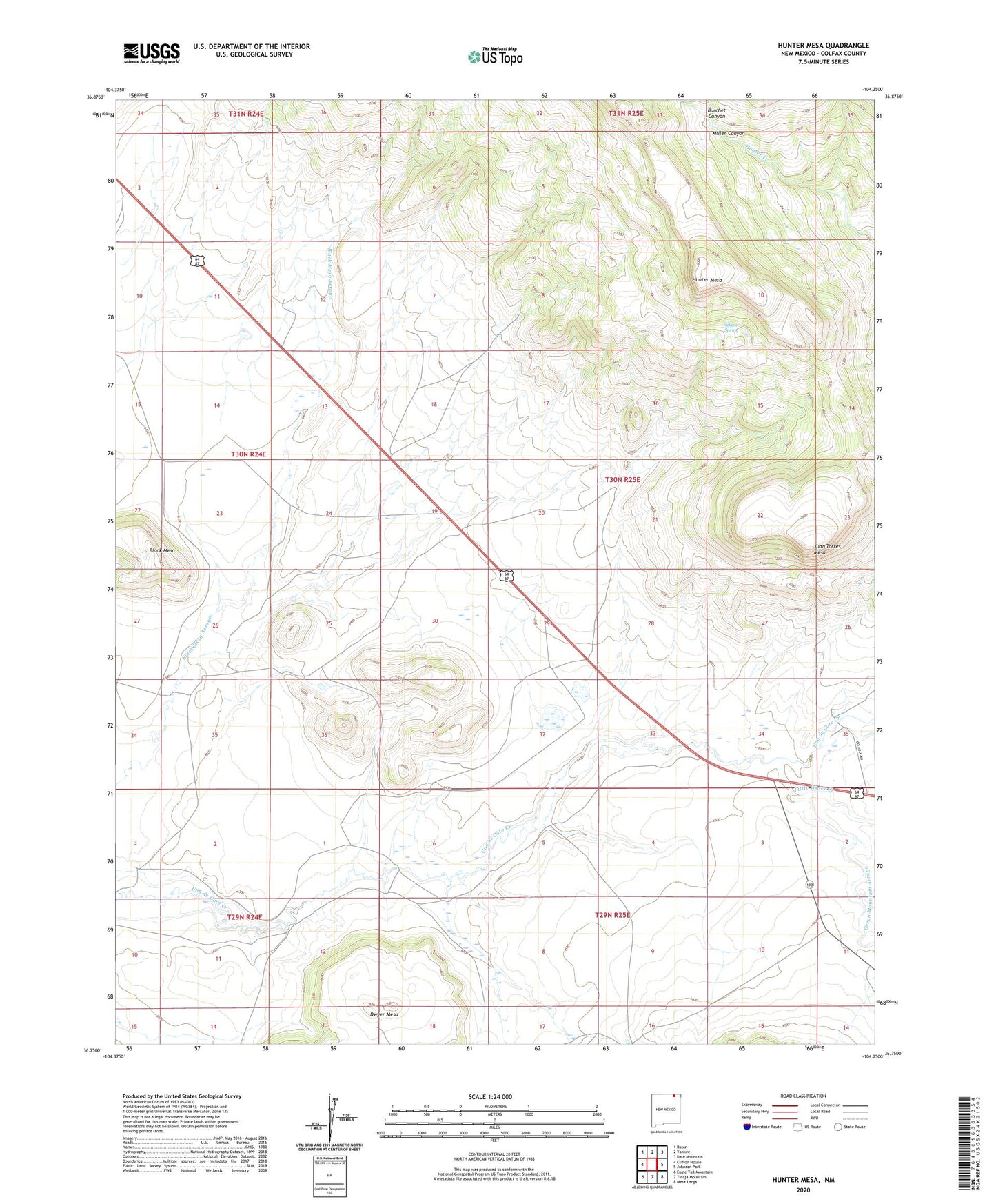
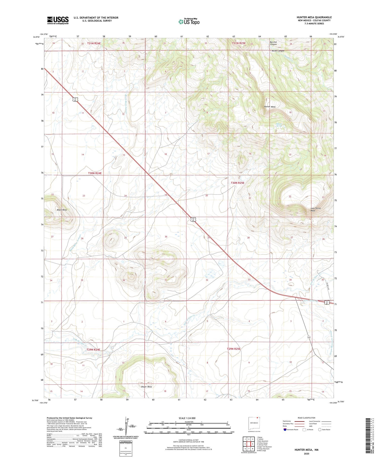
2020 topographic map quadrangle Hunter Mesa in the state of New Mexico. Scale: 1:24000. Based on the newly updated USGS 7.5' US Topo map series, this map is in the following counties: Colfax. The map contains contour data, water features, and other items you are used to seeing on USGS maps, but also has updated roads and other features. This is the next generation of topographic maps. Printed on high-quality waterproof paper with UV fade-resistant inks.
Quads adjacent to this one:
West: Clifton House
Northwest: Raton
North: Yankee
Northeast: Dale Mountain
East: Johnson Park
Southeast: Mesa Larga
South: Tinaja Mountain
Southwest: Eagle Tail Mountain
Contains the following named places: Black Mesa, Burchet Canyon, Dwyer Mesa, Green Mountain Arroyo, Hunter Mesa, Juan Torres Mesa, Little Water Creek, Miller Canyon, Salazar Spring, T O Ranch