MyTopo
Jumping Spring New Mexico US Topo Map
Couldn't load pickup availability
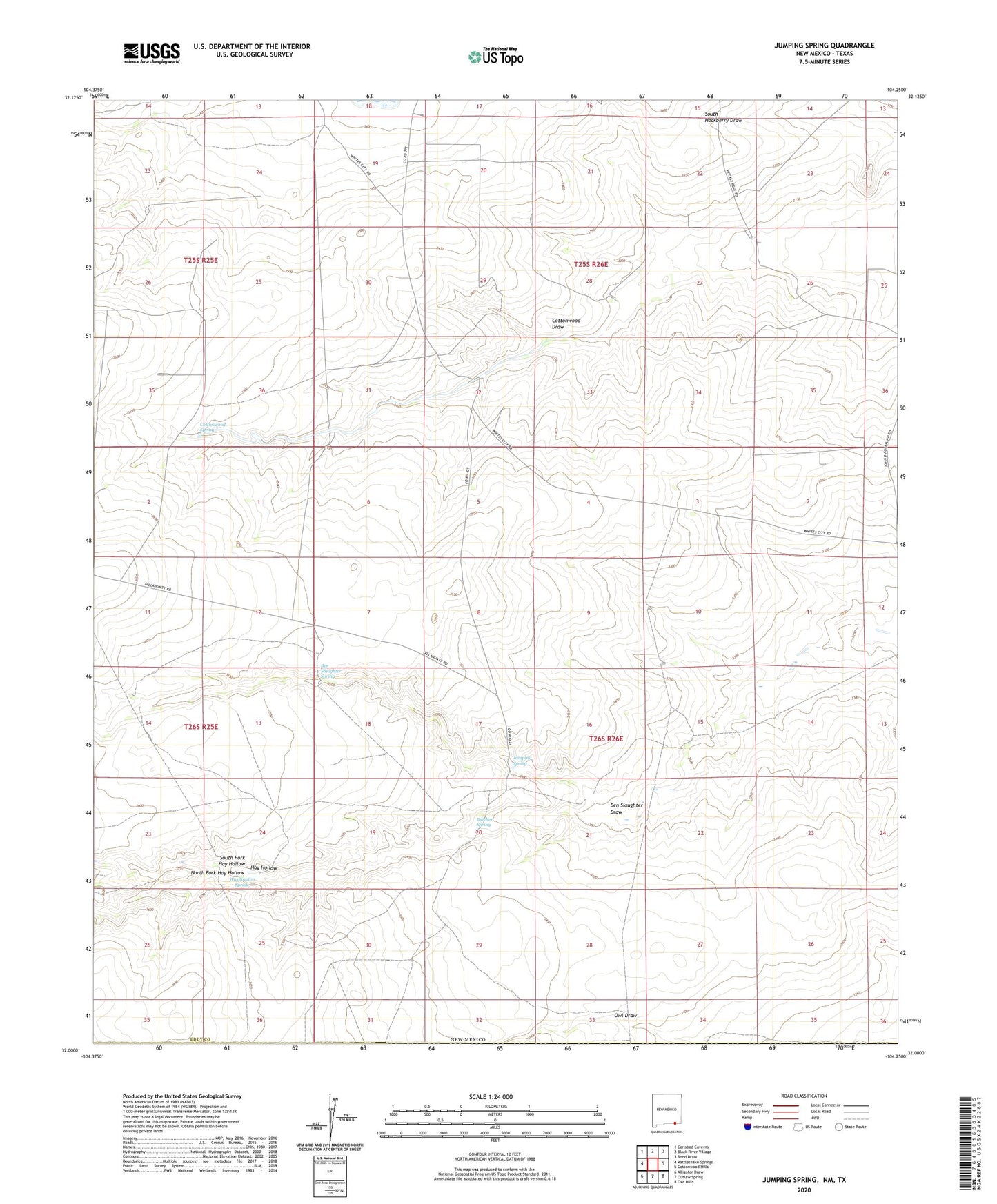
2020 topographic map quadrangle Jumping Spring in the state of New Mexico. Scale: 1:24000. Based on the newly updated USGS 7.5' US Topo map series, this map is in the following counties: Eddy, Culberson. The map contains contour data, water features, and other items you are used to seeing on USGS maps, but also has updated roads and other features. This is the next generation of topographic maps. Printed on high-quality waterproof paper with UV fade-resistant inks.
Quads adjacent to this one:
West: Rattlesnake Springs
Northwest: Carlsbad Caverns
North: Black River Village
Northeast: Bond Draw
East: Cottonwood Hills
Southeast: Owl Hills
South: Outlaw Spring
Southwest: Alligator Draw
Contains the following named places: Bailey Well, Ben Slaughter Draw, Ben Slaughter Spring, Butcher Spring, Cottonwood Spring, Dillahunty Ranch, Jumping Spring, Little Windmill, North Fork Hay Hollow, Paxton Well, Prickett Tank, South Fork Hay Hollow, Washington Spring