MyTopo
Cottonwood Hills New Mexico US Topo Map
Couldn't load pickup availability
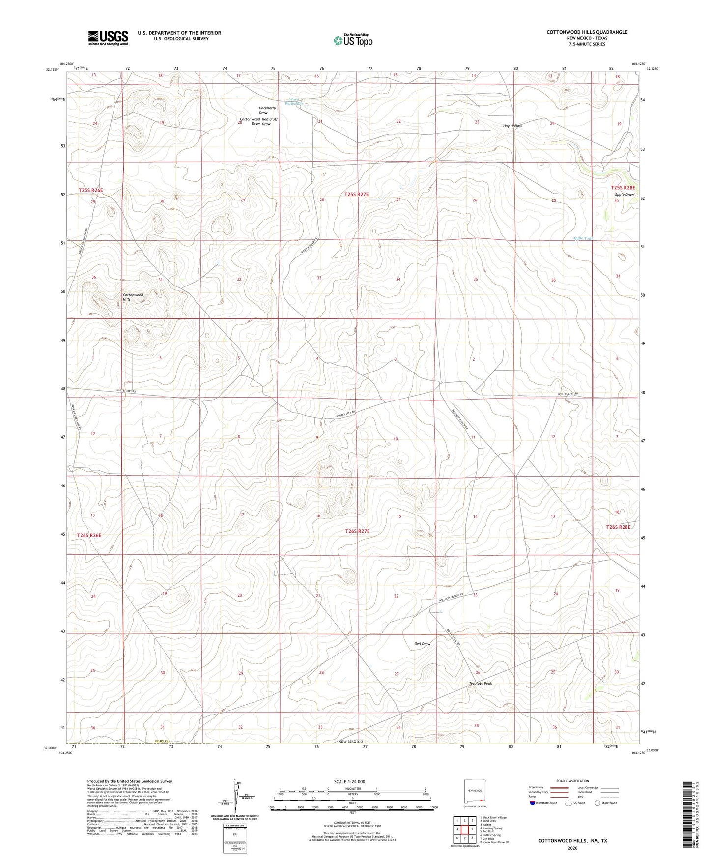
2023 topographic map quadrangle Cottonwood Hills in the state of New Mexico. Scale: 1:24000. Based on the newly updated USGS 7.5' US Topo map series, this map is in the following counties: Eddy, Culberson. The map contains contour data, water features, and other items you are used to seeing on USGS maps, but also has updated roads and other features. This is the next generation of topographic maps. Printed on high-quality waterproof paper with UV fade-resistant inks.
Quads adjacent to this one:
West: Jumping Spring
Northwest: Black River Village
North: Bond Draw
Northeast: Malaga
East: Red Bluff
Southeast: Screw Bean Draw NE
South: Owl Hills
Southwest: Outlaw Spring
This map covers the same area as the classic USGS quad with code o32104a2.
Contains the following named places: Apple Draw, Apple Tank, Boone Beach Ranch, Cottonwood Draw, Cottonwood Hills, Cottonwood Ranch, Double Mills, Forehand West Well, Hackberry Draw, Hay Hollow, Hobbs Well, Kelly Polk Well, Lower Reed Well, McBride Tank, Parisher Well, Reed Ranch, Tecolote Peak, Ward Waterhole, Welch Ranch