MyTopo
Laguna New Mexico US Topo Map
Couldn't load pickup availability
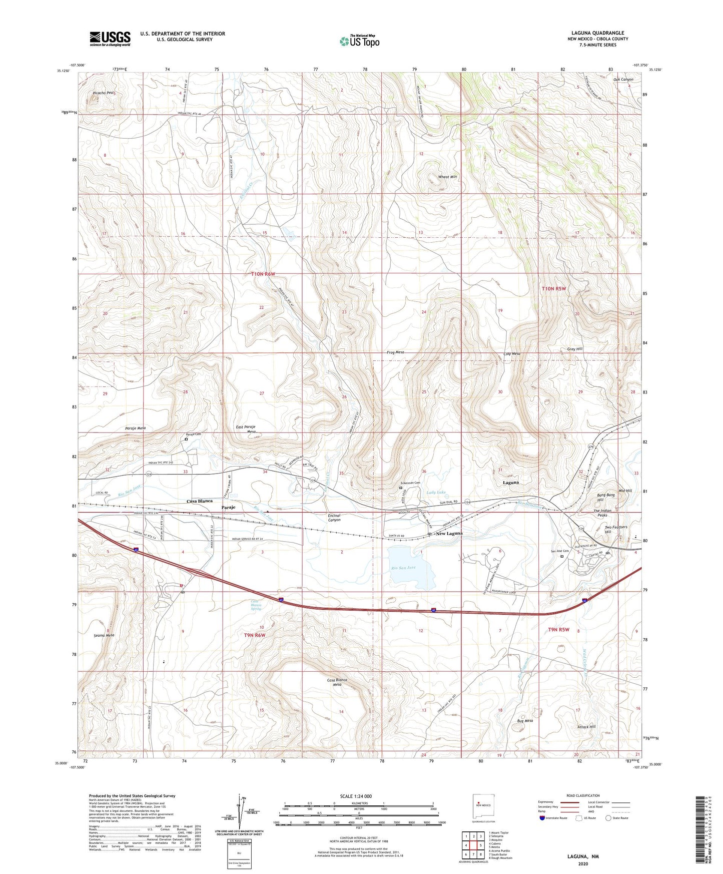
2023 topographic map quadrangle Laguna in the state of New Mexico. Scale: 1:24000. Based on the newly updated USGS 7.5' US Topo map series, this map is in the following counties: Cibola. The map contains contour data, water features, and other items you are used to seeing on USGS maps, but also has updated roads and other features. This is the next generation of topographic maps. Printed on high-quality waterproof paper with UV fade-resistant inks.
Quads adjacent to this one:
West: Cubero
Northwest: Mount Taylor
North: Seboyeta
Northeast: Moquino
East: Mesita
Southeast: Dough Mountain
South: South Butte
Southwest: Acoma Pueblo
This map covers the same area as the classic USGS quad with code o35107a4.
Contains the following named places: 10020 Water Well, 10022 Water Well, 10023 Water Well, 87038, 87040, Acoma Creek, Attack Hill, Bang-Bang Hill, Bentonite Deposit, Bug Mesa, C Blanca Water Well, Canoncito Baptist Church, Casa Blanca, Casa Blanca Cemetery, Casa Blanca Ditch, Casa Blanca Mesa, Casa Blanca Post Office, Casa Blanca Spring, Clay Mesa, East Paraje Mesa, Eckerman Cemetery, Encinal, Encinal 2 Water Well, Encinal Canyon, Encinal Census Designated Place, Encinal Creek, Encinal Water Well, Frog Mesa, Grey Hill, Irrigation W 510 Water Well, Lady Lake, Laguna, Laguna Census Designated Place, Laguna Elementary School, Laguna Post Office, Laguna Pueblo, Laguna Pueblo Pit, Laguna Weather Station, Laguna-Acoma High School, Laguna-Acoma Middle School, Liahona Christian Academy, Middle Hill, New Laguna, New Laguna Post Office, Paraje, Paraje Cemetery, Paraje Census Designated Place, Paraje Irrigation Ditch, Paraje Mesa, Picacho Peak, Pueblo of Laguna Fire and Rescue, Pueblo of Laguna Historical Marker, Pueblo of Laguna Library, Rio Grande Rift Historical Marker, Rio Gypsum, RWP 1 Water Well, RWP-17 Water Well, Saint Margaret-Mary Church, San Jose Cemetery, San Jose de la Laguna Mission Church and Convento Historic Site, San Jose de Laguna Mission Historical Marker, San Jose Mission, The Indian Peaks, Transwestern Pipeline Number 6 Airport, Two Feathers Hill, Wheat Mountain, Wild Celery Creek


