MyTopo
Laguna Honda New Mexico US Topo Map
Couldn't load pickup availability
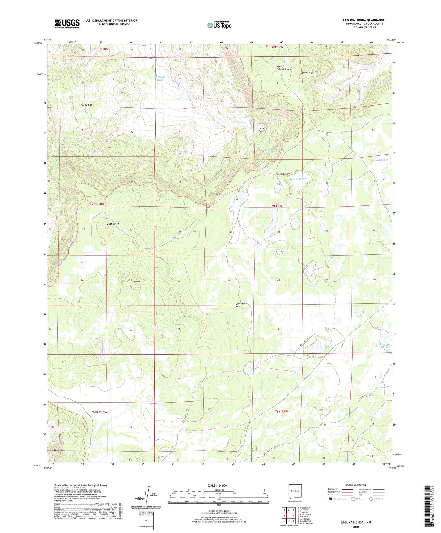
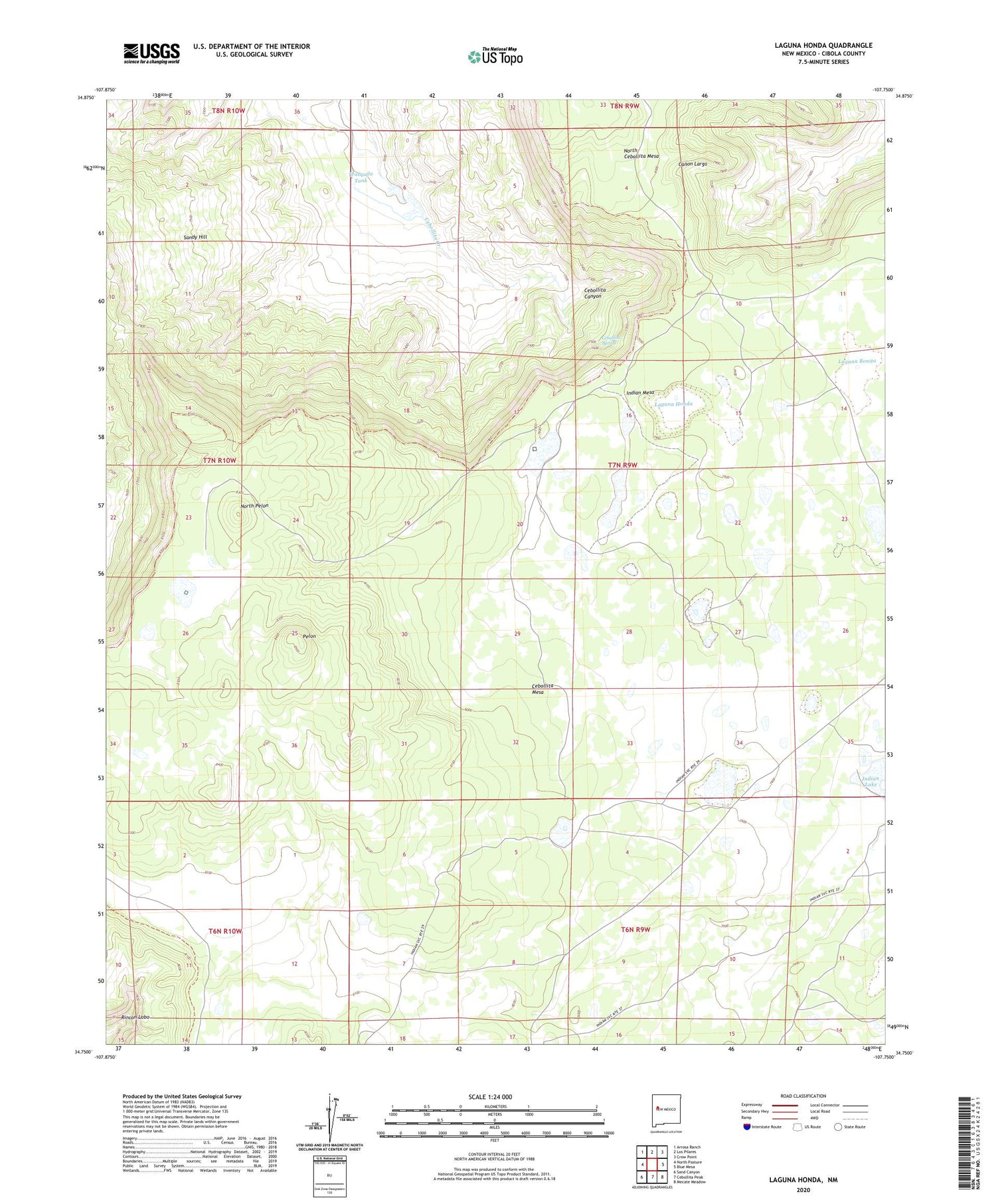
2020 topographic map quadrangle Laguna Honda in the state of New Mexico. Scale: 1:24000. Based on the newly updated USGS 7.5' US Topo map series, this map is in the following counties: Cibola. The map contains contour data, water features, and other items you are used to seeing on USGS maps, but also has updated roads and other features. This is the next generation of topographic maps. Printed on high-quality waterproof paper with UV fade-resistant inks.
Quads adjacent to this one:
West: North Pasture
Northwest: Arrosa Ranch
North: Los Pilares
Northeast: Crow Point
East: Blue Mesa
Southeast: Mecate Meadow
South: Cebollita Peak
Southwest: Sand Canyon
Contains the following named places: Cebollita Spring, Indian Lake, Indian Mesa, Kow-ina Ruins, Laguna Bonita, Laguna Honda, Long Lake, North Pelon, Pelon, Sandy Hill, Trasquila Tank