MyTopo
Mecate Meadow New Mexico US Topo Map
Couldn't load pickup availability
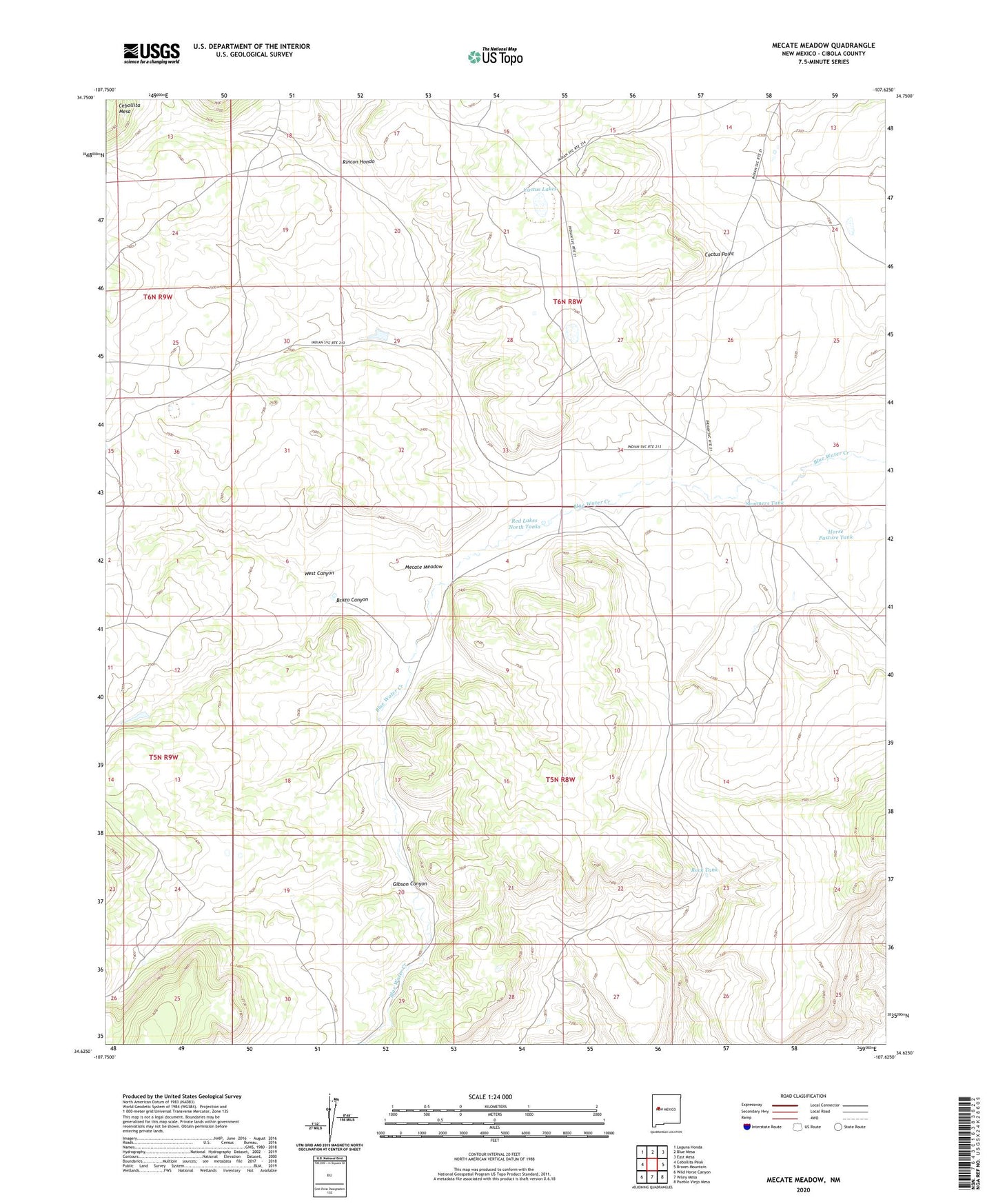
2023 topographic map quadrangle Mecate Meadow in the state of New Mexico. Scale: 1:24000. Based on the newly updated USGS 7.5' US Topo map series, this map is in the following counties: Cibola. The map contains contour data, water features, and other items you are used to seeing on USGS maps, but also has updated roads and other features. This is the next generation of topographic maps. Printed on high-quality waterproof paper with UV fade-resistant inks.
Quads adjacent to this one:
West: Cebollita Peak
Northwest: Laguna Honda
North: Blue Mesa
Northeast: East Mesa
East: Broom Mountain
Southeast: Pueblo Viejo Mesa
South: Wiley Mesa
Southwest: Wild Horse Canyon
This map covers the same area as the classic USGS quad with code o34107f6.
Contains the following named places: Blue Water Water Well, Blue Water Windmill, Bluewater Water Well, Brazo Canyon, Cactus Lakes, Cactus Point, Chance Water Well, Dunn Windmill, Dunn WM Water Well, G Owsley Water Well, G Owsley Windmill, Gibson Canyon, Horse Pasture Tank, Knoblock Windmill, Last Chance Windmill, Major Windmill, McCord Place, McCord Place Water Well, Mecate Meadow, Mirabal Windmill, Penasco Water Well, Penasco Windmill, Red Lakes North Tanks, Rincon Hondo, Rock Tank, Sandia Windmill, Summers Tank, West Canyon