MyTopo
Lake McMillan South New Mexico US Topo Map
Couldn't load pickup availability
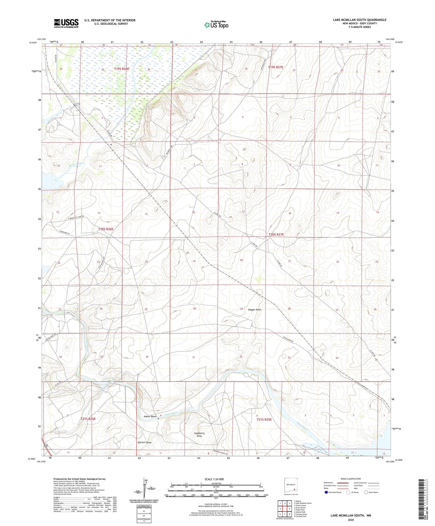
2023 topographic map quadrangle Lake McMillan South in the state of New Mexico. Scale: 1:24000. Based on the newly updated USGS 7.5' US Topo map series, this map is in the following counties: Eddy. The map contains contour data, water features, and other items you are used to seeing on USGS maps, but also has updated roads and other features. This is the next generation of topographic maps. Printed on high-quality waterproof paper with UV fade-resistant inks.
Quads adjacent to this one:
West: Seven Rivers
Northwest: Dayton
North: Lake McMillan North
Northeast: Illinois Camp
East: Angel Draw
Southeast: Carlsbad East
South: Carlsbad West
Southwest: Azotea Peak
This map covers the same area as the classic USGS quad with code o32104e3.
Contains the following named places: Adams Bend, Brantley Lake State Park, Dagger Draw, Fanning Ranch, Greenwood Ranch, Lake McMillan, McMillan Dam, Rocky Arroyo, Soapberry Draw, Spencer Draw