MyTopo
McCloy Ranch New Mexico US Topo Map
Couldn't load pickup availability
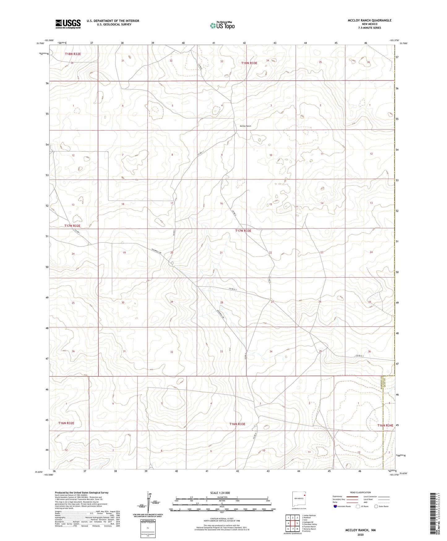
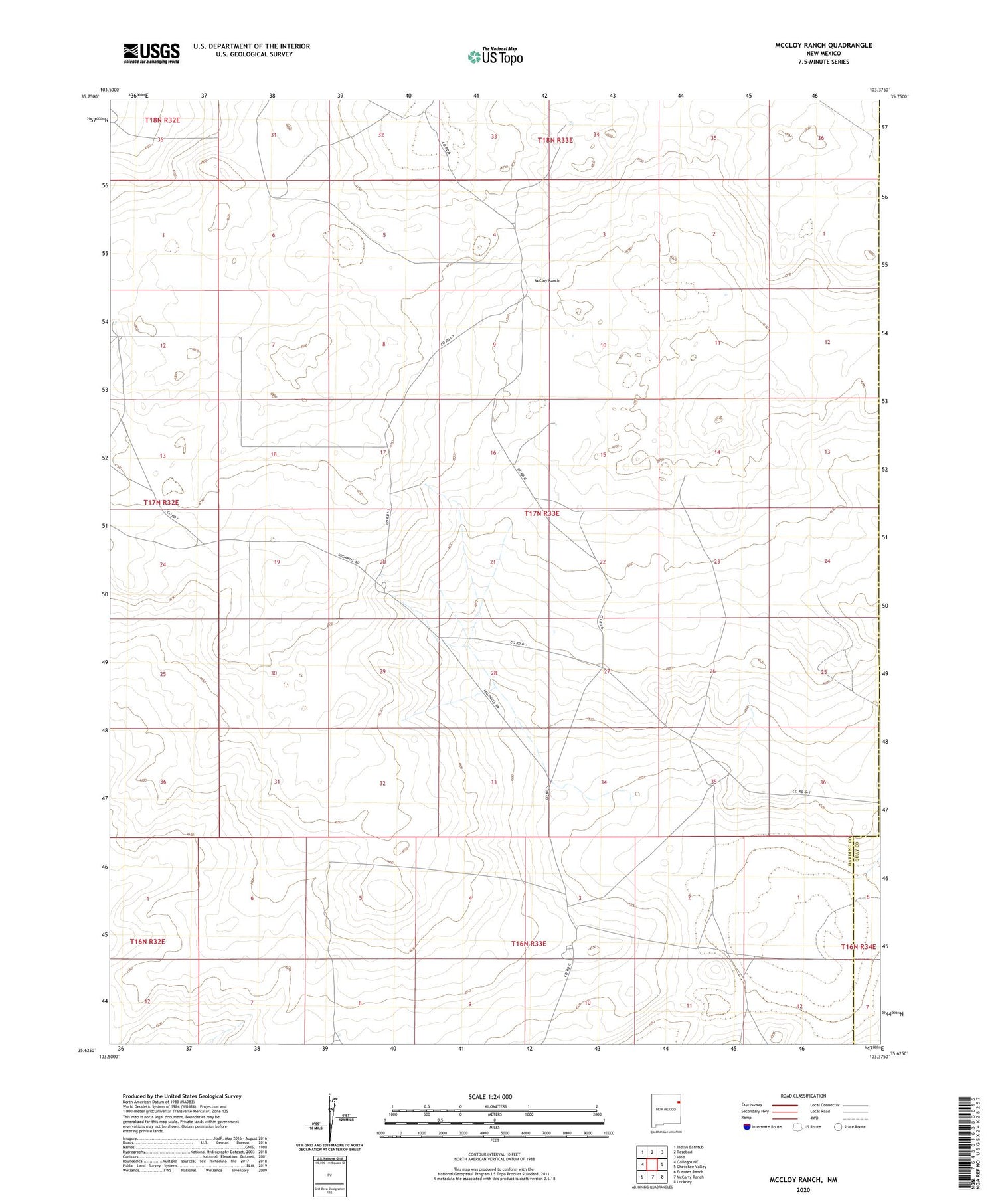
2020 topographic map quadrangle McCloy Ranch in the state of New Mexico. Scale: 1:24000. Based on the newly updated USGS 7.5' US Topo map series, this map is in the following counties: Harding, Quay, Union. The map contains contour data, water features, and other items you are used to seeing on USGS maps, but also has updated roads and other features. This is the next generation of topographic maps. Printed on high-quality waterproof paper with UV fade-resistant inks.
Quads adjacent to this one:
West: Gallegos NE
Northwest: Indian Bathtub
North: Rosebud
Northeast: Ione
East: Cherokee Valley
Southeast: Lockney
South: McCarty Ranch
Southwest: Fuentes Ranch
Contains the following named places: Bull Well, Dial Well, East Chihuahua Well, Halfway Well, McCarty Well, McCloy Ranch, Middle Well, North Line Well, North Orphan Well, North Well, Northeast Well, Northwest Well, Old Church Well, Old Northwest Well, Sand Hill Well, Twin Wells, West Chihuahua Well, West Well, White Well, Whorla Blanca Well, Willis Line Well, Willis Well, Willow Well