MyTopo
Gallegos NE New Mexico US Topo Map
Couldn't load pickup availability
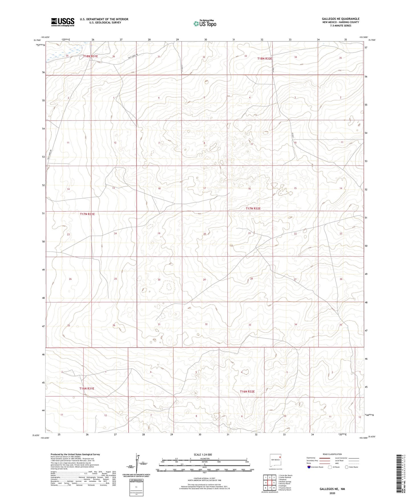
2023 topographic map quadrangle Gallegos NE in the state of New Mexico. Scale: 1:24000. Based on the newly updated USGS 7.5' US Topo map series, this map is in the following counties: Harding. The map contains contour data, water features, and other items you are used to seeing on USGS maps, but also has updated roads and other features. This is the next generation of topographic maps. Printed on high-quality waterproof paper with UV fade-resistant inks.
Quads adjacent to this one:
West: Buffalo Springs
Northwest: Circle Bar Ranch
North: Indian Bathtub
Northeast: Rosebud
East: McCloy Ranch
Southeast: McCarty Ranch
South: Fuentes Ranch
Southwest: Gallegos
This map covers the same area as the classic USGS quad with code o35103f5.
Contains the following named places: Bishop Well, Burks Well, Camp Well, Cocke Well, Cooper Ranch, Cottonwood Well, East Cooper Well, East Romero Well, Gallegos Well, High Well, Line Well, Low Well, McCarty, McCarty West Camp, Mize Well, New Well, North Baker Windmills, Rockwell Windmill, School Section Windmills, South Harding Division, South Mize Well, South Pasture Well, South Windmill, Top Well, Twin Honeycutt Windmills, West Pasture Well