
MyTopo
McLeod Tank New Mexico US Topo Map
Couldn't load pickup availability
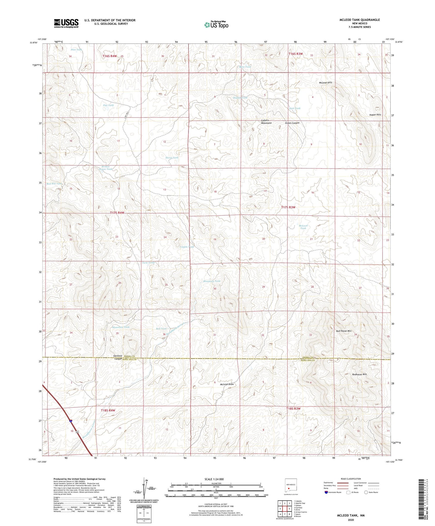
2020 topographic map quadrangle McLeod Tank in the state of New Mexico. Scale: 1:24000. Based on the newly updated USGS 7.5' US Topo map series, this map is in the following counties: Sierra, Doña Ana. The map contains contour data, water features, and other items you are used to seeing on USGS maps, but also has updated roads and other features. This is the next generation of topographic maps. Printed on high-quality waterproof paper with UV fade-resistant inks.
Quads adjacent to this one:
West: Garfield
Northwest: Caballo
North: Apache Gap
Northeast: Upham
East: Alivio
Southeast: Rincon
South: Hatch
Southwest: Arroyo Cuervo
Contains the following named places: Alamo, Black Darling, Black Darling Group, Blackie Mine, Broken House Tank, East Tank, Flat Tank, Gar Spar Claims, Gar-Spar, Hatch Valley Arroyos Site Six Dam, Hidden Tank, Hogue Hills, Horse Tank, Lorraine, Luchini Manganese Prospect, McLeod Draw, McLeod Hills, McLeod Tank, Mine Tank, Mountain Tank, Nakaye Group, Palm Park Mine, Pass Tank, Red Hill Tank, Red House Mountain, Red Tank, Redhouse Mountain, Tipton Ranch, Tripple Tank, Twin Tanks, Velarde, Velarde Manganese Prospect


