MyTopo
Mesa Chupinas New Mexico US Topo Map
Couldn't load pickup availability
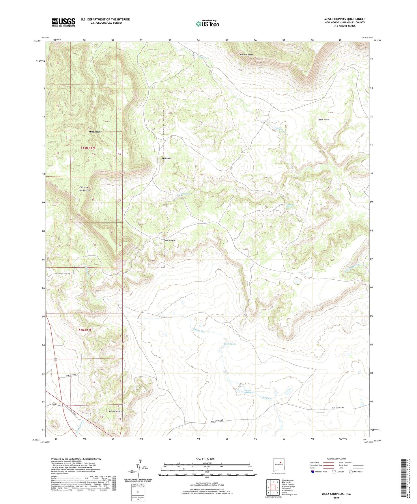
2020 topographic map quadrangle Mesa Chupinas in the state of New Mexico. Scale: 1:24000. Based on the newly updated USGS 7.5' US Topo map series, this map is in the following counties: San Miguel. The map contains contour data, water features, and other items you are used to seeing on USGS maps, but also has updated roads and other features. This is the next generation of topographic maps. Printed on high-quality waterproof paper with UV fade-resistant inks.
Quads adjacent to this one:
West: Apache Springs
Northwest: Los Montoyas
North: La Liendre
Northeast: Mesa Lauriano
East: Chaperito
Southeast: Pedro Miguel Peak
South: Dilia
Southwest: Anton Chico
Contains the following named places: Alamito Springs, Armstrong Ranch Headquarters, Calverdes Spring, Chupinas Camp, Chupinas Rincon Pasture, Chupinas Windmill, Culbertson, Deer Spring, Mesa Chupinas, Rincon Spring, South Mesa, West Mesa