MyTopo
Mesa Gigante New Mexico US Topo Map
Couldn't load pickup availability
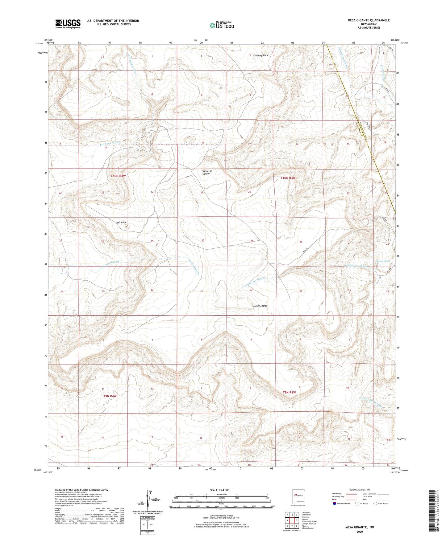
2020 topographic map quadrangle Mesa Gigante in the state of New Mexico. Scale: 1:24000. Based on the newly updated USGS 7.5' US Topo map series, this map is in the following counties: Cibola, Bernalillo. The map contains contour data, water features, and other items you are used to seeing on USGS maps, but also has updated roads and other features. This is the next generation of topographic maps. Printed on high-quality waterproof paper with UV fade-resistant inks.
Quads adjacent to this one:
West: Mesita
Northwest: Moquino
North: Arch Mesa
Northeast: Herrera
East: Canoncito School
Southeast: South Garcia
South: Correo
Southwest: Dough Mountain
Contains the following named places: Alamos Spring, Arroyo Salado, Bell Rock, Canoncito Nine Water Well, Chavez Deposit, Chimney Rock, Harrington Windmill, Mesa Gigante, RWP-28 Water Well, RWP-32 Water Well