MyTopo
Mesas Mojinas New Mexico US Topo Map
Couldn't load pickup availability
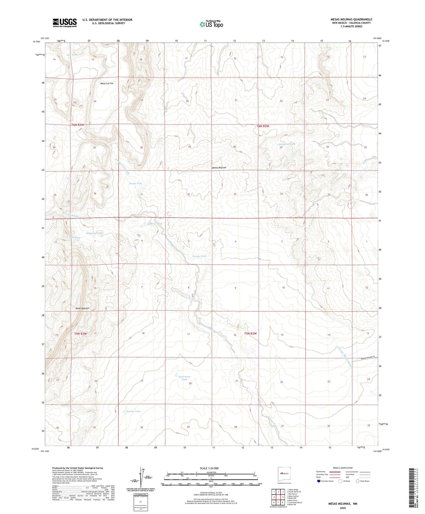
2023 topographic map quadrangle Mesas Mojinas in the state of New Mexico. Scale: 1:24000. Based on the newly updated USGS 7.5' US Topo map series, this map is in the following counties: Valencia. The map contains contour data, water features, and other items you are used to seeing on USGS maps, but also has updated roads and other features. This is the next generation of topographic maps. Printed on high-quality waterproof paper with UV fade-resistant inks.
Quads adjacent to this one:
West: Mesa Gallina
Northwest: White Ridge
North: South Garcia SE
Northeast: Rio Puerco
East: Belen NW
Southeast: Belen SW
South: Comanche Ranch
Southwest: Mesa Sarca
This map covers the same area as the classic USGS quad with code o34107f1.
Contains the following named places: Alderete Tank, All American Marble Claims, Arroyo Salado, Badlands Tank, Brush Tank, Esparauza Tank, Frost Ranch, Gurule Tank, House Tank, Lucero Quarry, Mesa Aparejo, Mesas Mojinas, Number 4 Tank, Ojito Spring, Omission Quarry, Red Tank, Sabina Tank, Shipping Tank, Windmill Number 4, ZIP Code: 87031