MyTopo
Mescalero Point New Mexico US Topo Map
Couldn't load pickup availability
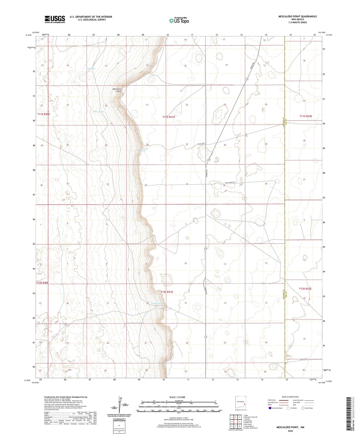
2023 topographic map quadrangle Mescalero Point in the state of New Mexico. Scale: 1:24000. Based on the newly updated USGS 7.5' US Topo map series, this map is in the following counties: Chaves, Lea. The map contains contour data, water features, and other items you are used to seeing on USGS maps, but also has updated roads and other features. This is the next generation of topographic maps. Printed on high-quality waterproof paper with UV fade-resistant inks.
Quads adjacent to this one:
West: Culp Ranch
Northwest: Oasis
North: Mescalero Point NE
Northeast: Caprock
East: Soldier Hill
Southeast: Cooper-Good Ranch
South: Caudill Ranch
Southwest: Vest Camp
This map covers the same area as the classic USGS quad with code o33103c7.
Contains the following named places: 10648 Water Well, 10654 Water Well, Graham Spring, Graham Well, Mescalero Point, Mescalero Spring, Red Tank, Sikes Tanks